
As all the team leads were away, we were asked to leading the hiking group this week. Went to the Buffalo Creek Forest Preserve. It is a newish trail, only open in the last few years, after I left Zoro. It’s a very nice trail but the weather was windy, cold, drizzle, with light snow, so we had the place almost to ourselves. The soccer field on the west end was closed, so we went to Menard’s for bathroom break. Overall 6 miles in 2.5 hours.
Utah
Took an eight-day trip (19 – 26) around Thanksgiving to visit national parks in Utah. We visited Zion during 2017 spring break. This time we will cover Bryce Canyon, Capitol Reef, Arches and Canyonlands.
We flew to Salt Lake City on Friday night, drove about 2 hours before lodging for the night. The next morning we got up before sunrise and arrived at Bryce Canyon National Park at around 9.
We spent two days at Bryce Canyon, a day driving through Grand Staircase – Escalante, two days at the Capitol Reef, a day between Arches and Canyonlands before heading back to Salt Lake City by way of Price.
Rob Roy
Rob Roy Glacial Trail
Getting There
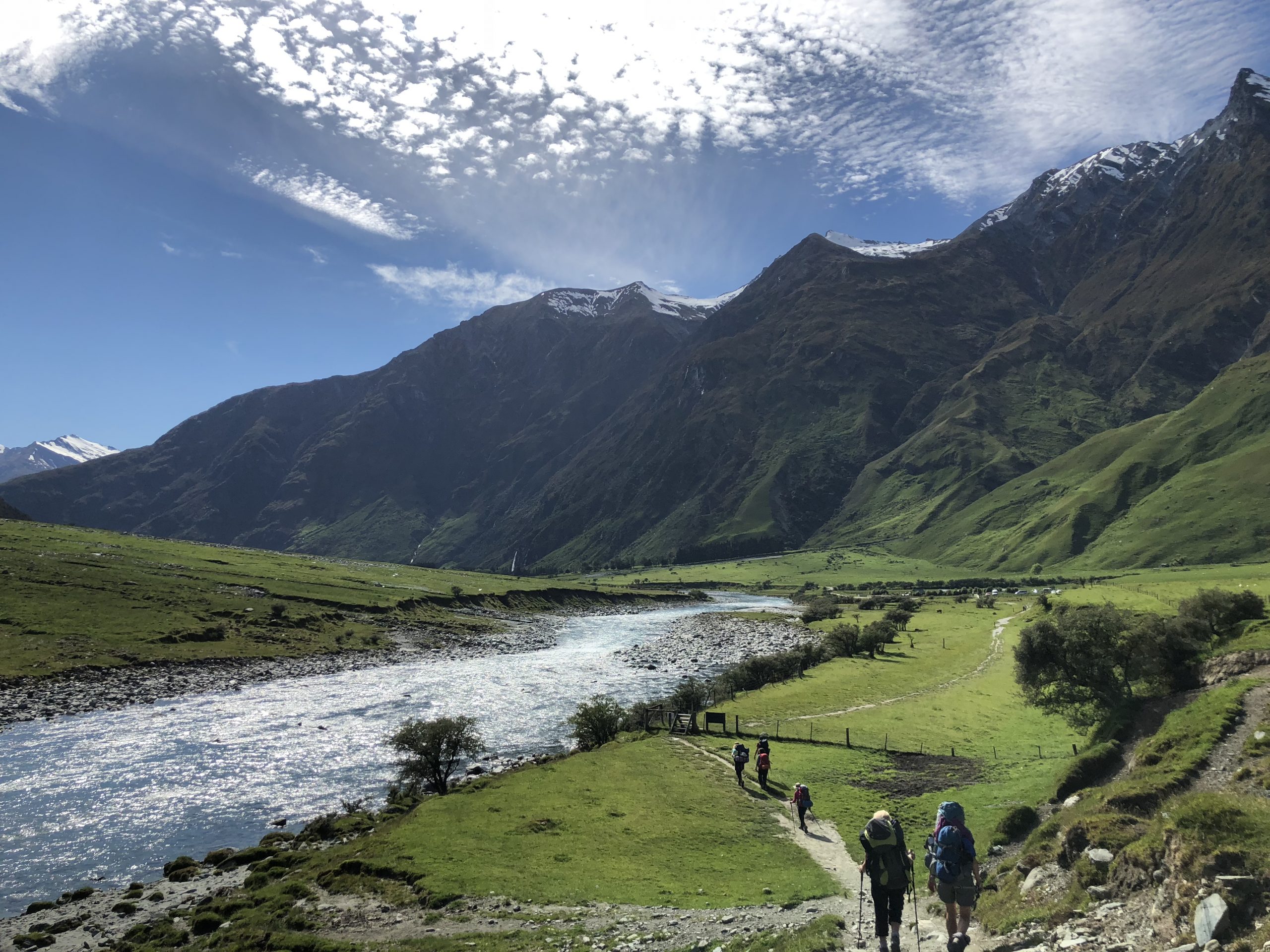
Recommended by our Airbnb host, Sam, we headed out to Rob Roy Glacial Trail in the Mount Aspiring National Park. The track starts at the Raspberry Creek car park, about an hour drive west of Wanaka on the Wanaka-Mount Aspiring Road. The last 30 km are unsealed. The final 10 km is a fine weather road only and subject to washouts and flooded creeks that can be impassable. Check road conditions before you leave.
The Trail
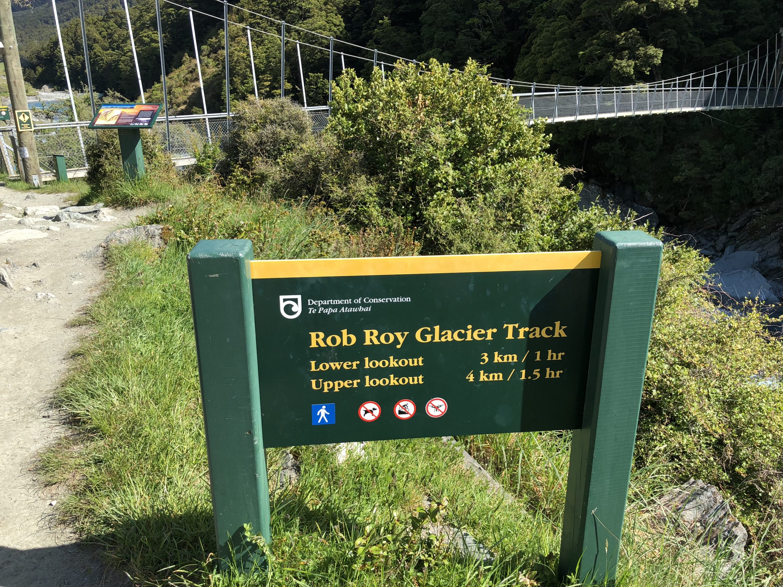
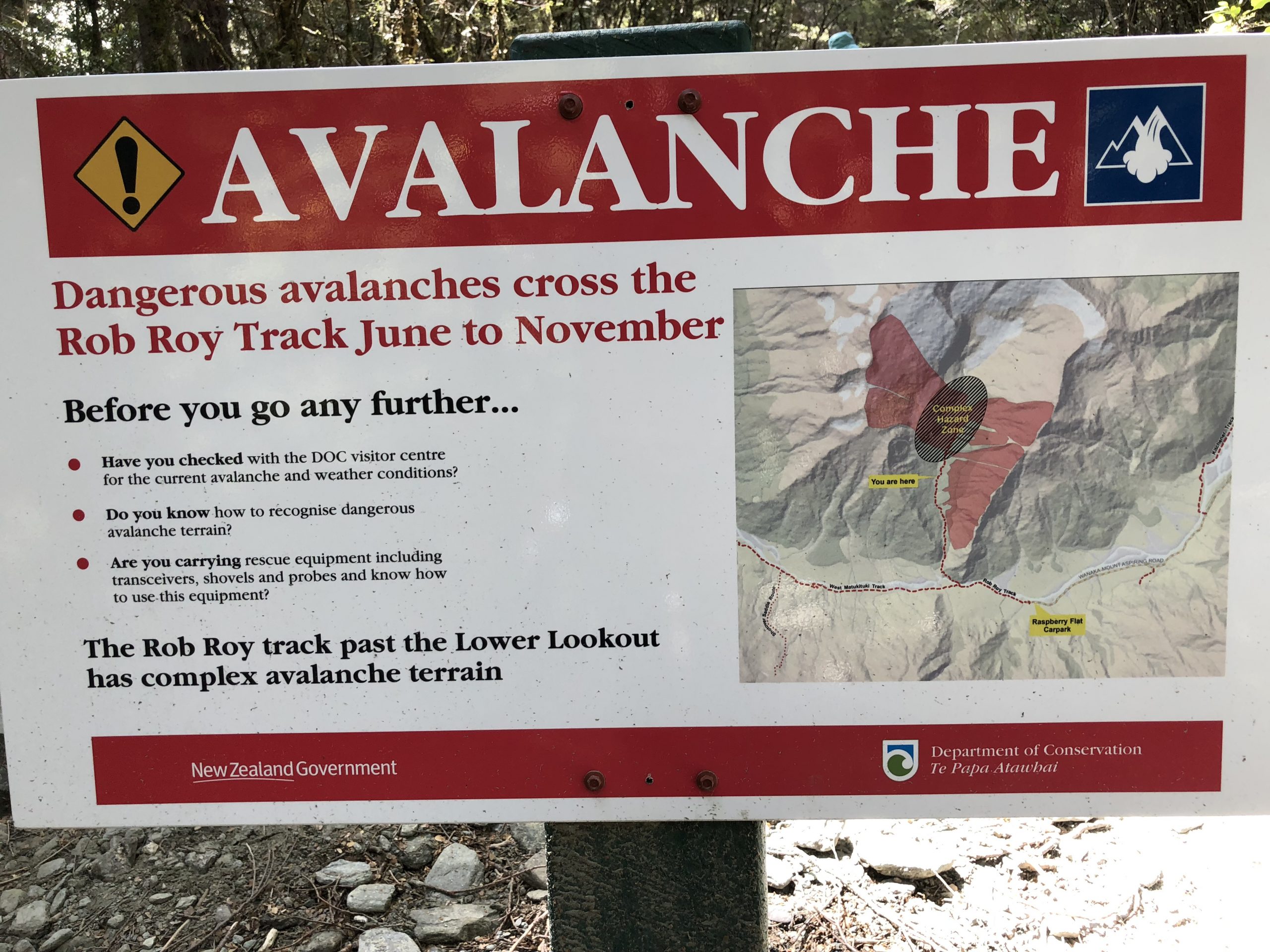
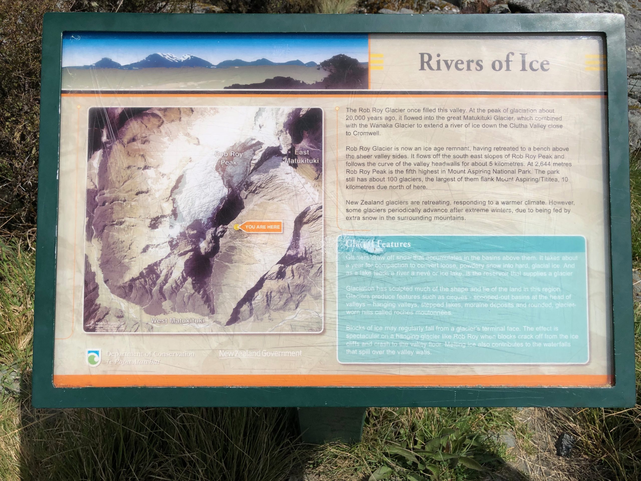
About 15 minutes from the Raspberry Flat car park, cross a swing bridge over the West Matukituki River. The track climbs through a small gorge into beech forest, then into alpine vegetation at the head of the valley, with good views of the Rob Roy Glacier. Starting from the swing bridge, it’s a 4 km track to the upper lookout with the total altitude gain of about 450 meters. The view was so breathtaking very step of the way, we had to stop and take it all in every few meters. Although the sign says 1.5 hours to the upper lookout, it took us almost 7 hours to complete the round trip. It was well worth the extra time. While we were leaving the upper lookout, a thunderous avalanche took place right across the valley on the edge of the glacier. It was so loud that we thought the entire mountain was coming down. Cannot imaging what it would be like when a full scale avalanche were rushing down the valley.
Cromwell
After reaching Wanaka, we kept driving south and stopped at Cromwell for the night. Queenstown was fully booked for the next few days due to the Queenstown Marathon over the weekend. Funny how we always run into such events no matter where we go.

Useful links
Wanaka
Haast Pass Highway
Leaving Haast, we headed into the territory of Mount Aspiring National Park. An 134km drive to Wanaka and plenty to see along the way.
Roaring Billy Falls/Fantail Falls
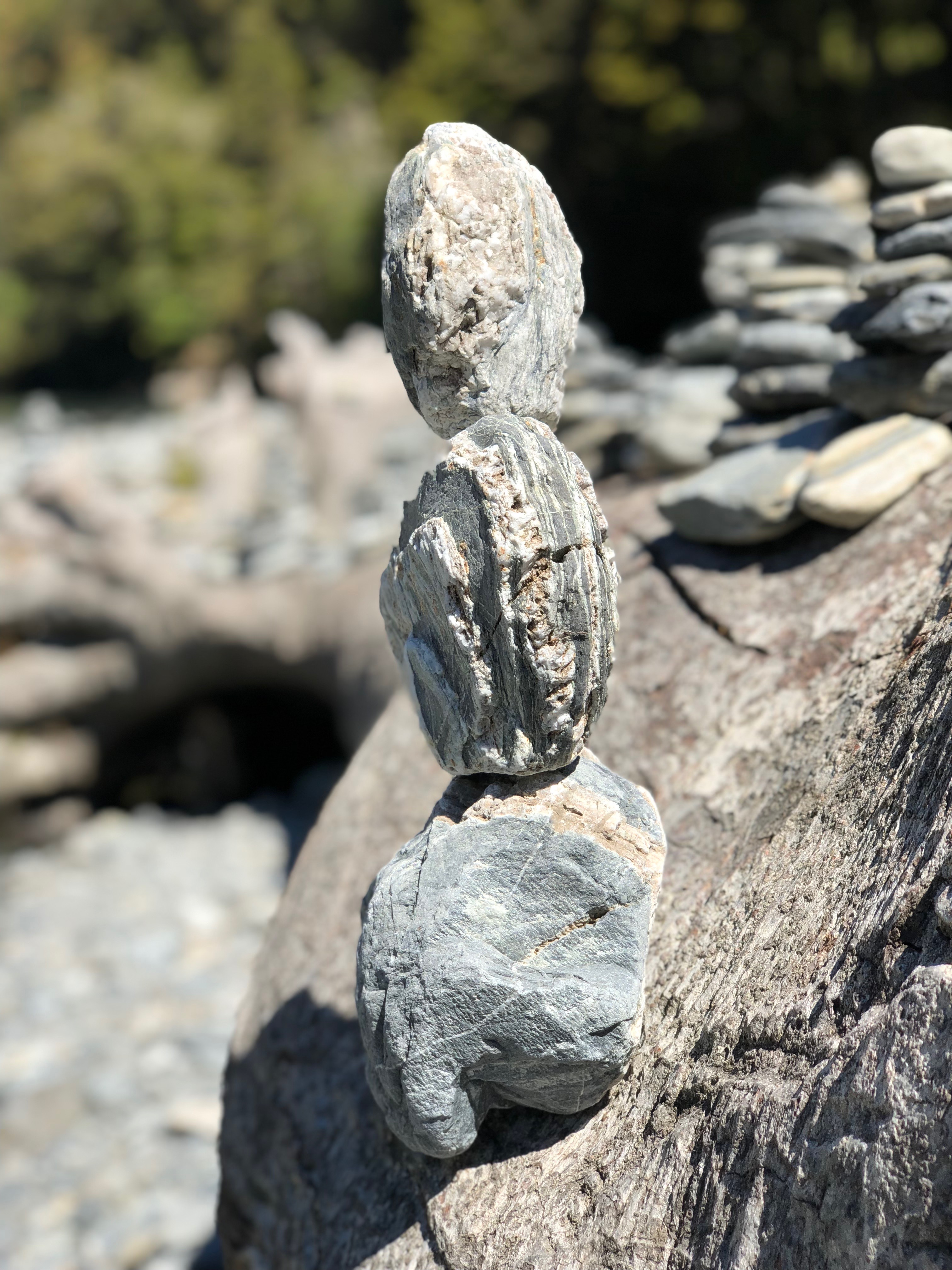
A couple of short stops along the Haast Pass. Neither were more than a few-minute hike to the water fall. The water was so clear, pristine, and freezing cold. Perfect places for taking a short break from the long drive. Saw a lot of rock stacking at the Fantail Falls. Couldn’t help to add a couple of my own. Not the simple stacking, but rather some high balancing acts.
Blue Pools
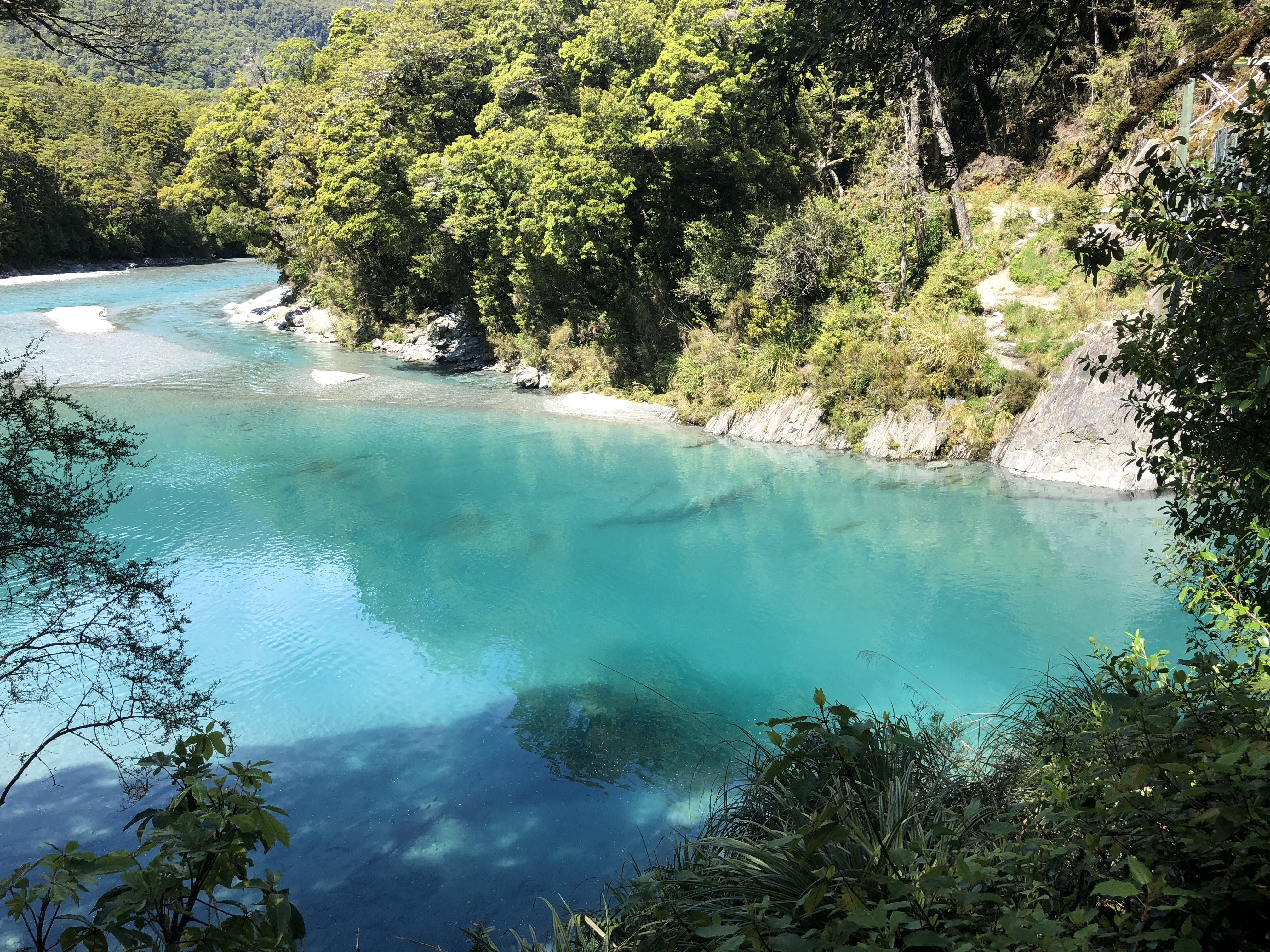
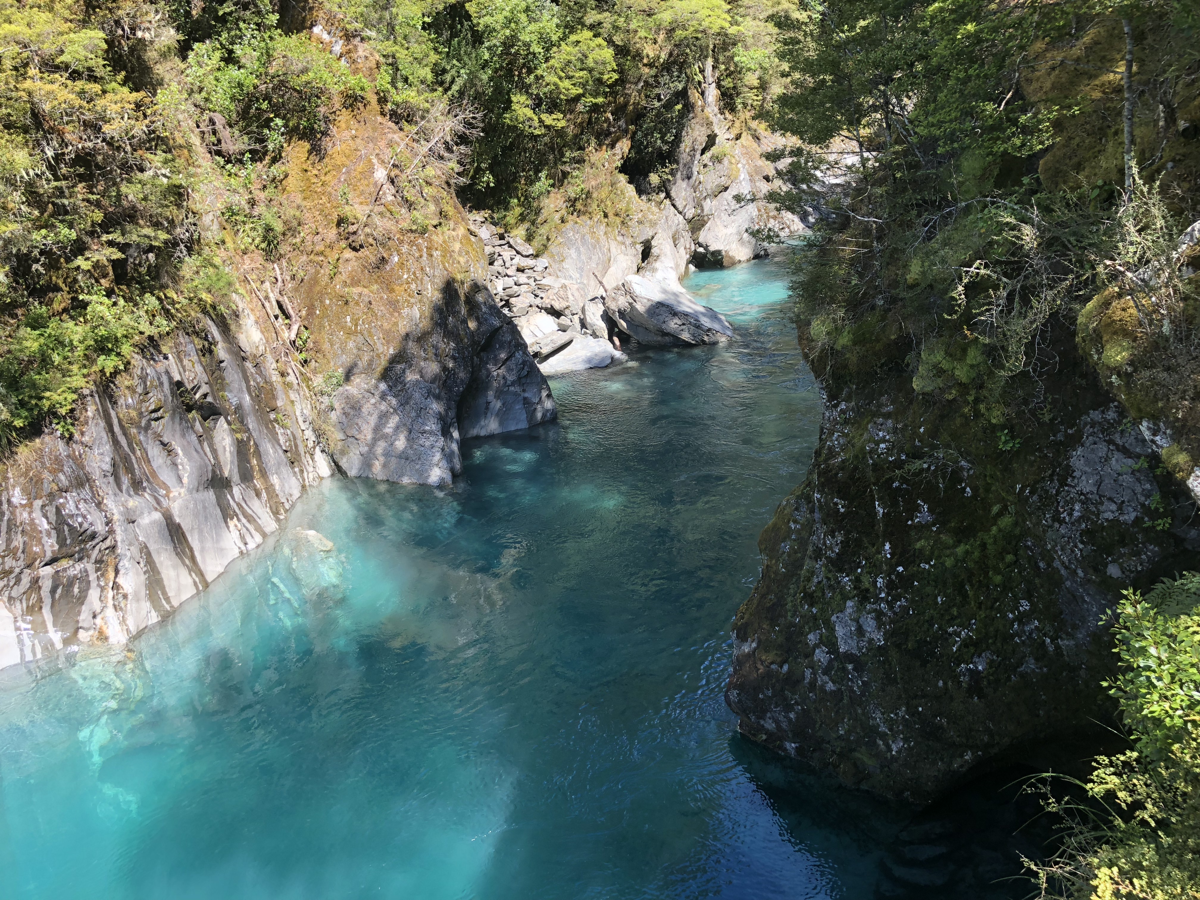
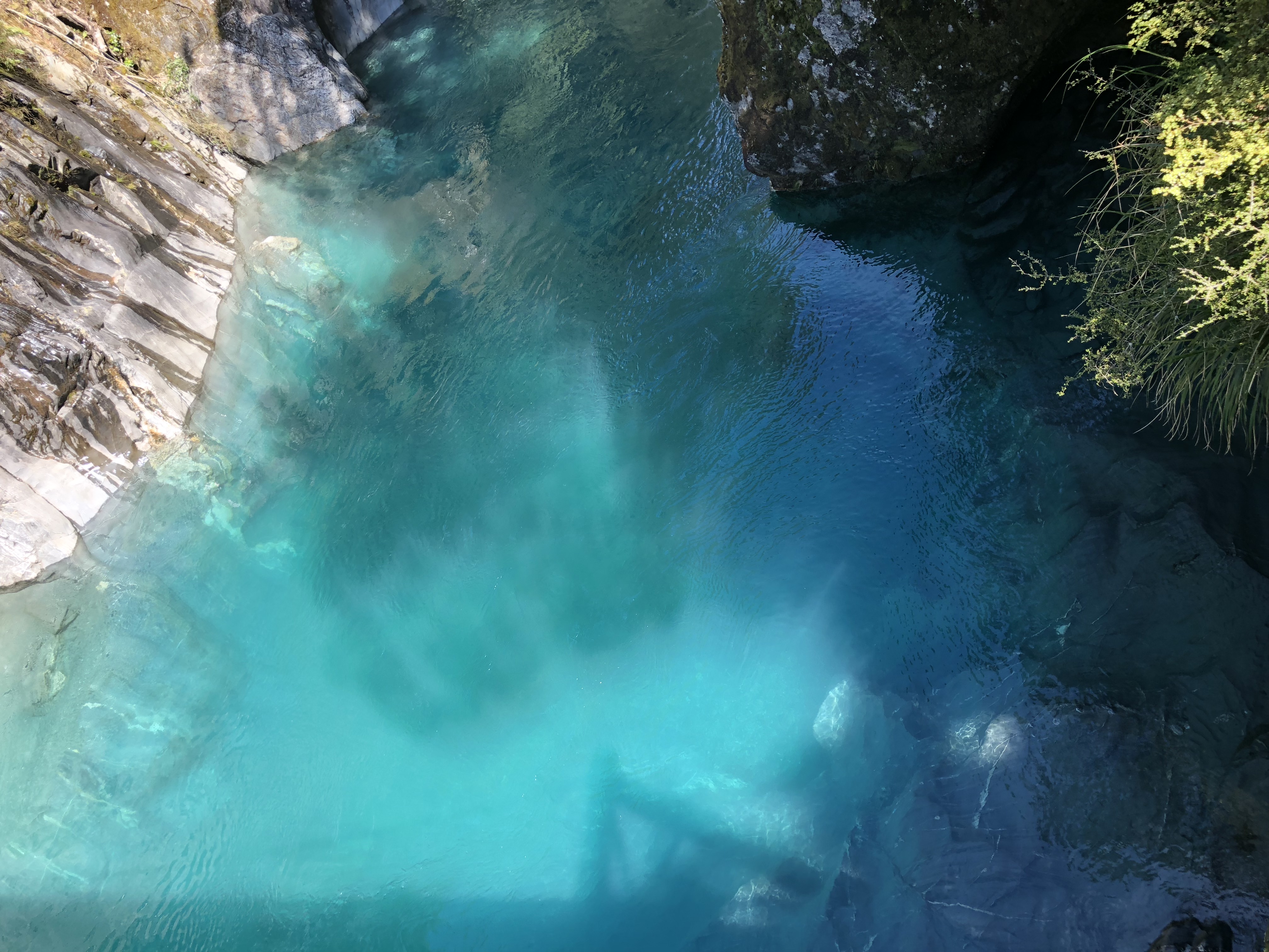
The main attraction on the Haast Pass. When we got there, the roadside parking space was already full and more cars were parked along the road. A short 30-minute hike took us down to the gorge. The color of the water was a beautiful turquoise, felt like we could just hold it in our hands. The color was a result of light refraction on the clear and icy cold water runoff from the glacier. My toes were completed numbed after wading in it for a couple of minutes. A few brave souls did jump in for a swim. The only annoyance is the sand flies. They were all over the beach and they bit. Make sure to have plenty of bug repellent.
Lake Wanaka
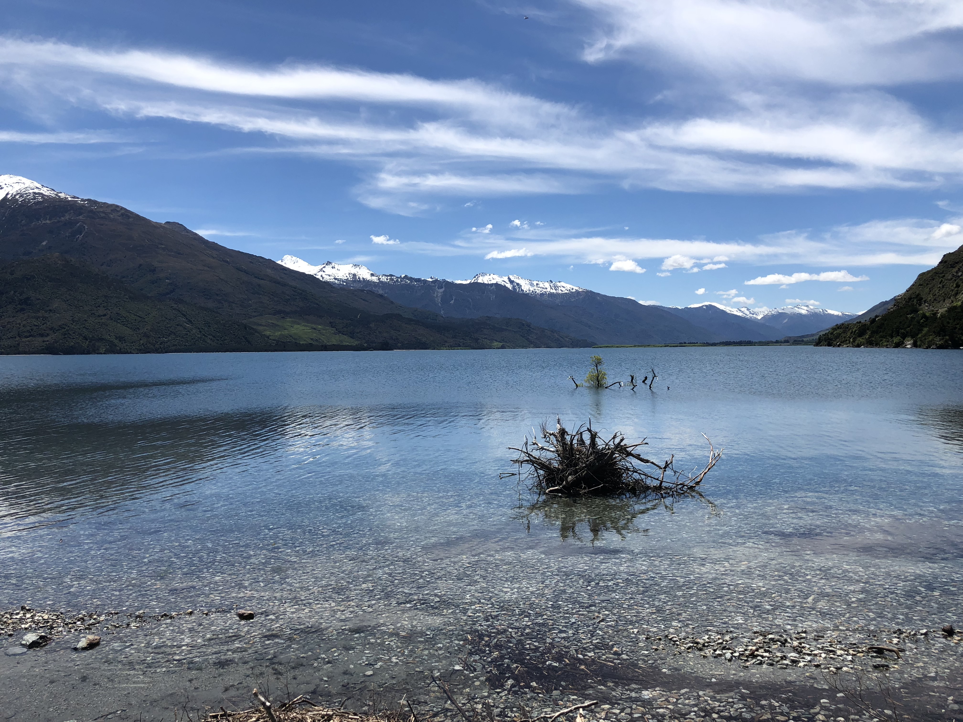
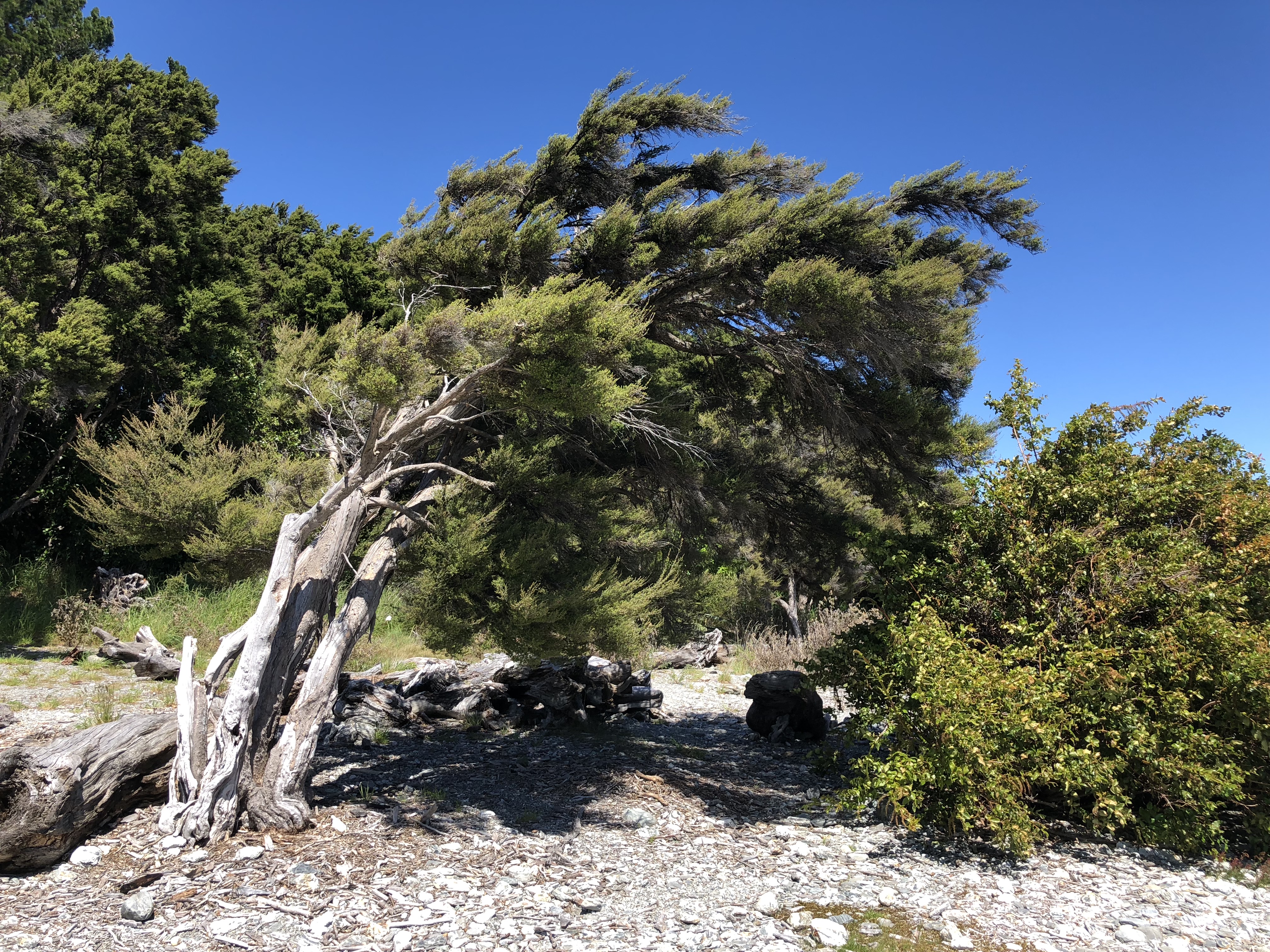
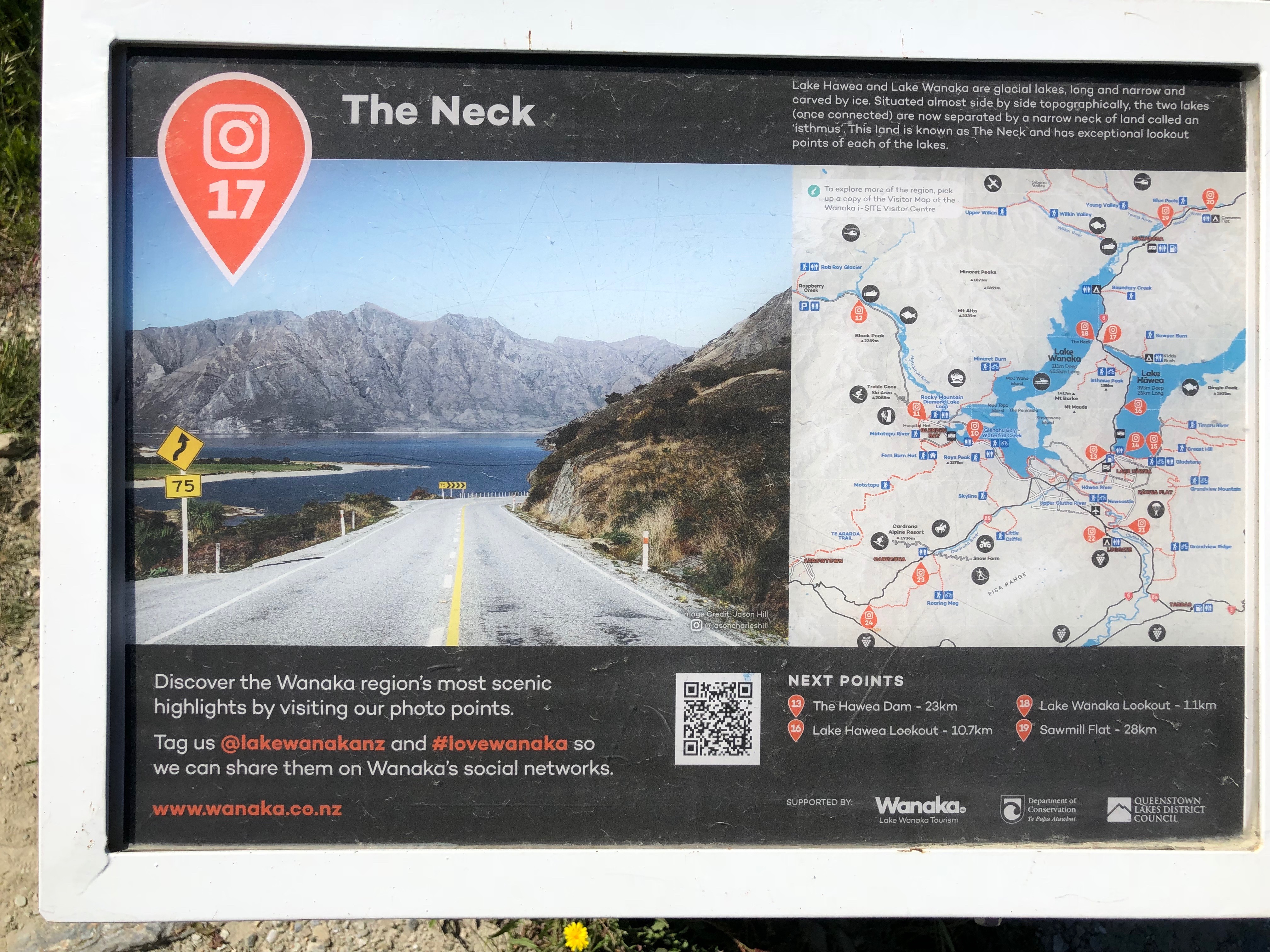
Lake Wanaka and Lake Hawea located just north of Wanaka. The two lakes were narrowly divided by The Neck by a mile. Before reaching The Neck, we stopped at the Minaret Bay on Lake Wanaka to take in the view. By the way the trees were shaped, there appeared to be constant strong winds in the area.
Wanaka
Situated on the southern tip of Lake Wanaka, Wanaka is a major stop along the Haast Pass before reaching Queenstown. We stopped here for the night as we would not be lodging at Queenstown.
There were many good hiking trails around, Mount Iron right before we entered the town, and Roy’s Peak only 5 minutes west of the town. Both looked a bit bare, with no shades. We decided to drove further west to the Diamond Lake Conservation Area. We hiked for only about half an hour with not much to see aside from the lake. On our way down, we saw a few paragliders appeared in the sky. By the time we got to the parking lot, two of them were folding their gears in the open field. We ended up picking up two of them on our way back to Wanaka. They could barely fit in the backseat with their gear on their lap. They were nice enough to show us a little bit of Glendhu Bay on the way. Both of them came from Czech almost 10 years ago, felt in love with New Zealand and decided to stay. They paraglide whenever they can. Afterwards, they just hitchhike back to Queenstown, where they call home now.
We stayed at an Airbnb for the night. Ready to take on more Mount Aspiring tomorrow.
Useful links
Trivia: Ethan Hunt (Tom Cruise) made reference to Lake Wanaka in the movie Mission Impossible: III as the place he spent the weekend with his fiancee.
The Southern West Coast
Destinations
Today we drove from Hokitika to Haast by way of Hokitika Gorge, a total distance of about 340km.
Hokitia
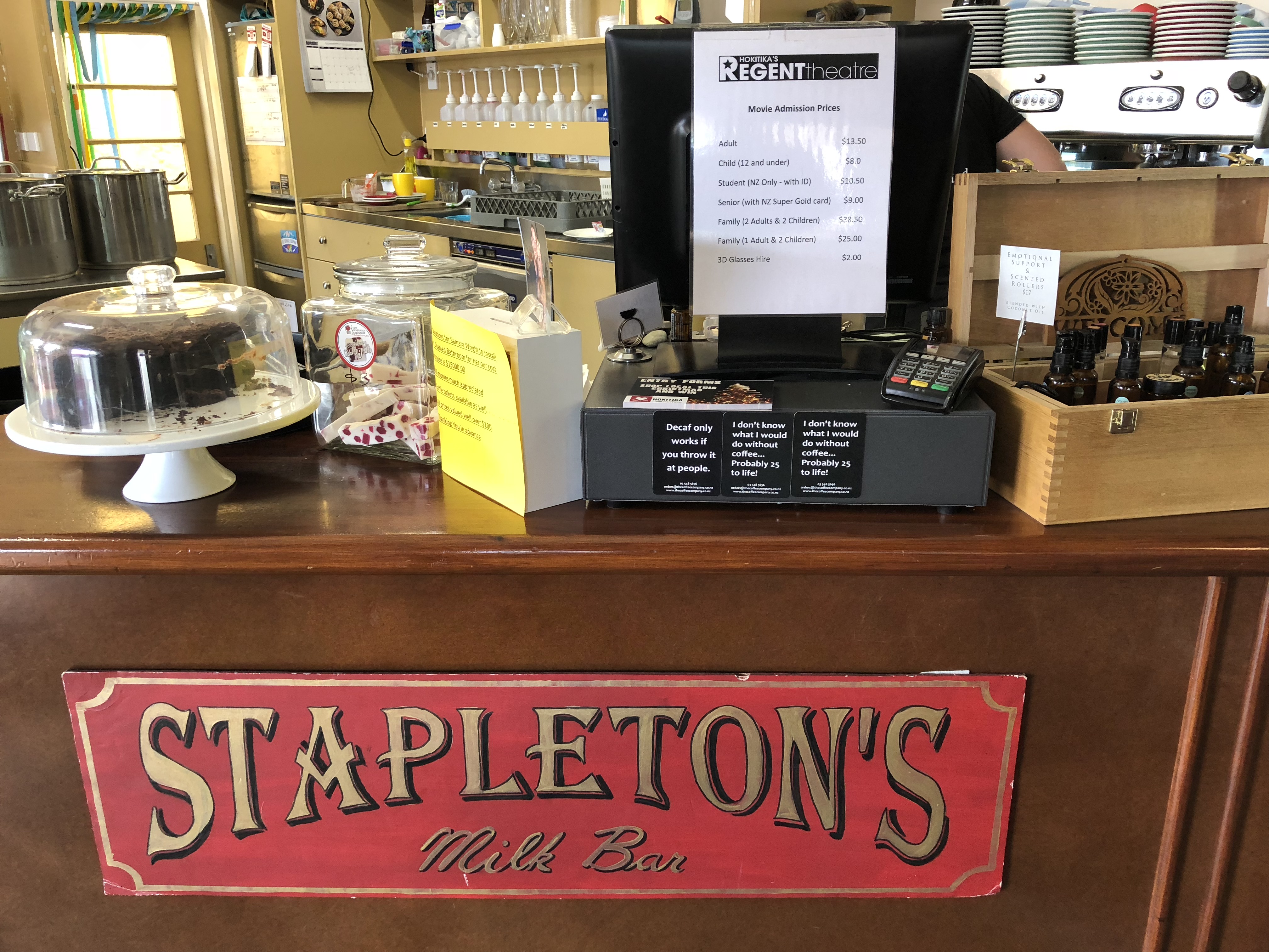
Hokitika is a major stop along the coastal highway. Lots of restaurants and shops. We went to the Hokitika’s Regent Theatre for some coffee and breakfast to go. The theater is a fully refurbished 1935 art deco movie theatre. If you ever come this way, make sure to stop by the theater. If not for the classic deco, the pie at the cafe are to die for. We had a beef mushroom quiche for the road, and totally regretted that we did not pack a few more.
Hokitika Gorge and Lake Kaniere
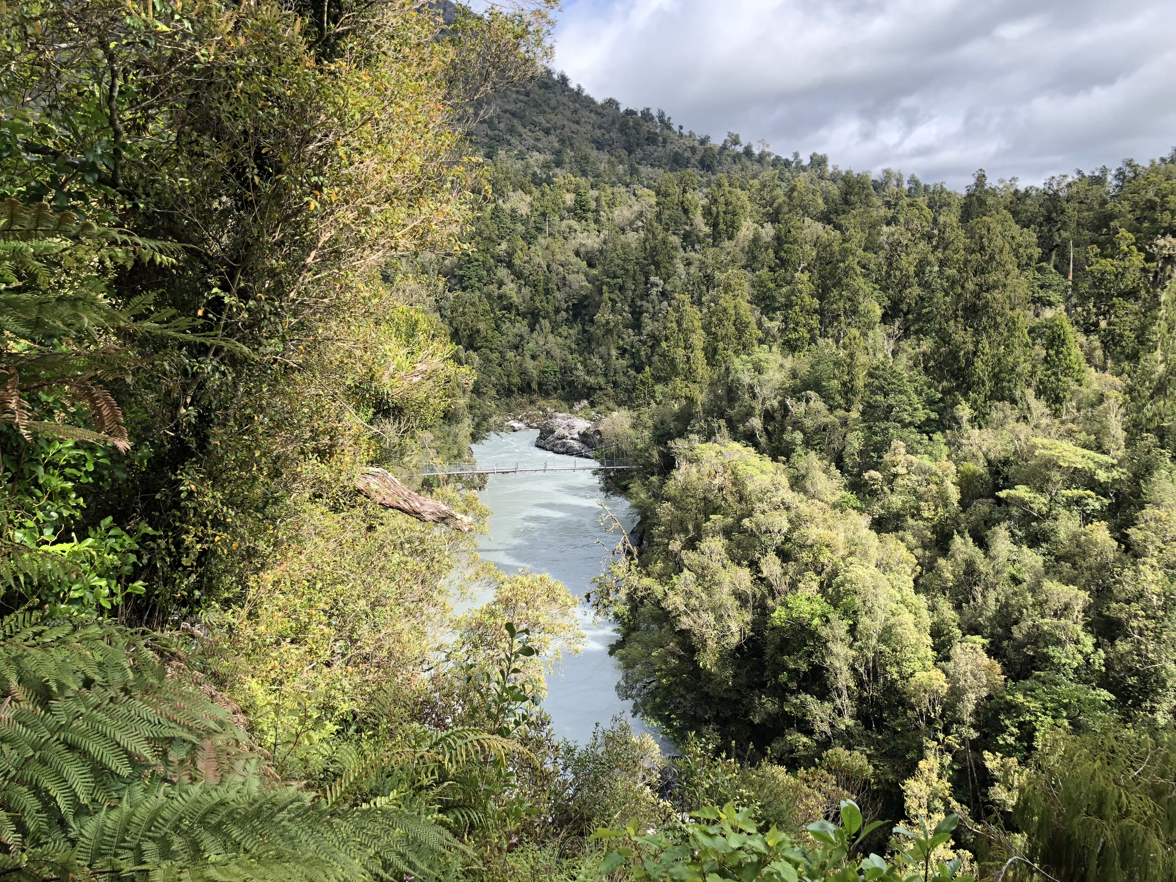
The Hokitika Gorge is about 30 minute drive east of the town. We saw a picture of the amazing deep blue gem like water and just had to see it ourselves. Once we got there, it’s an easy short hike down to the gorge. Astonishingly, the water was not at all like the picture. The entire river was a milky torquay grey, like a stream flowing torquay colored clay. Turns out it was a flowing stream of clay, or rock flour. The area had seen some heavy rainfalls in the past few days, and the rain washed the fine powdery rock flour from the glacier into the river. Not exactly what we came to see, but still amazing.
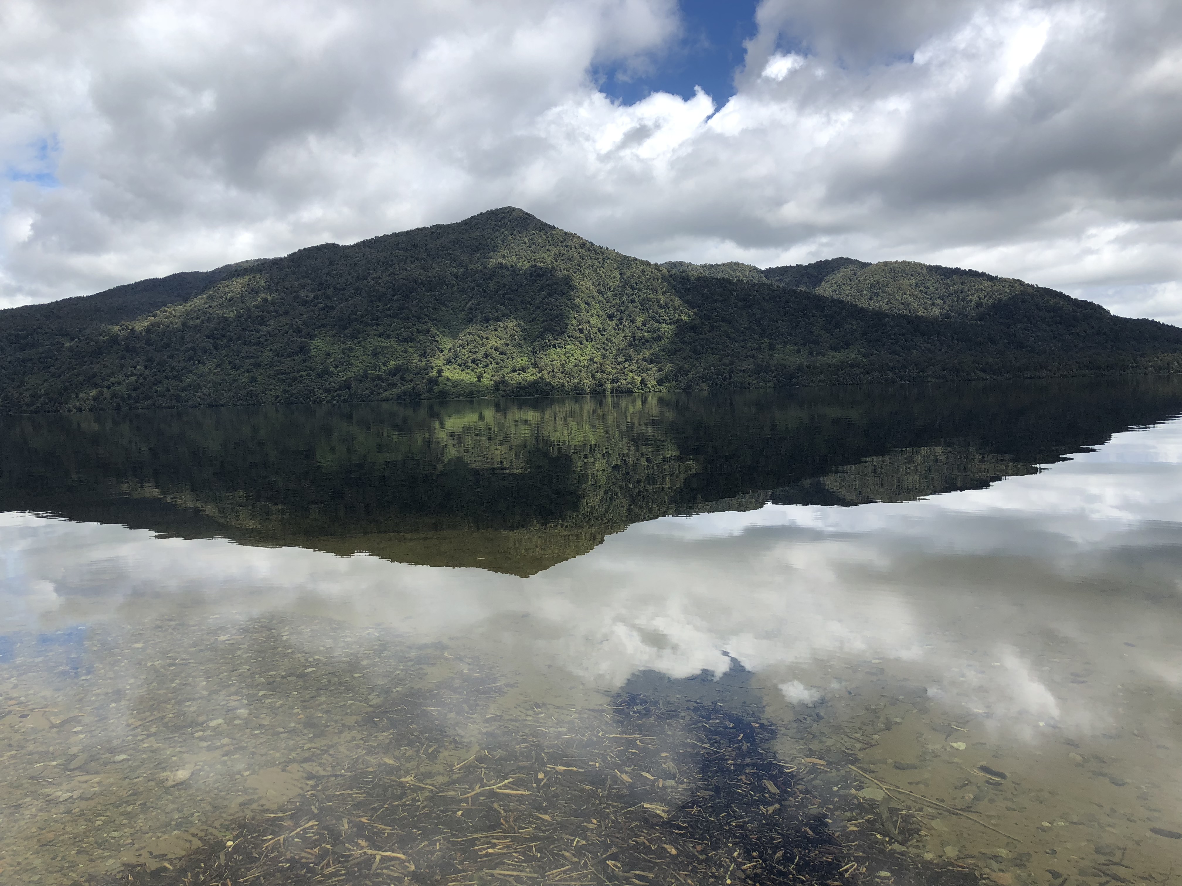
Lake Kaniere and the Dorthy falls are not too far from the gorge. The tranquil mirror lake and the rushing water from fall were nice to see. However, relatively, this is not a must see stop of the West Coast.
Franz Josef
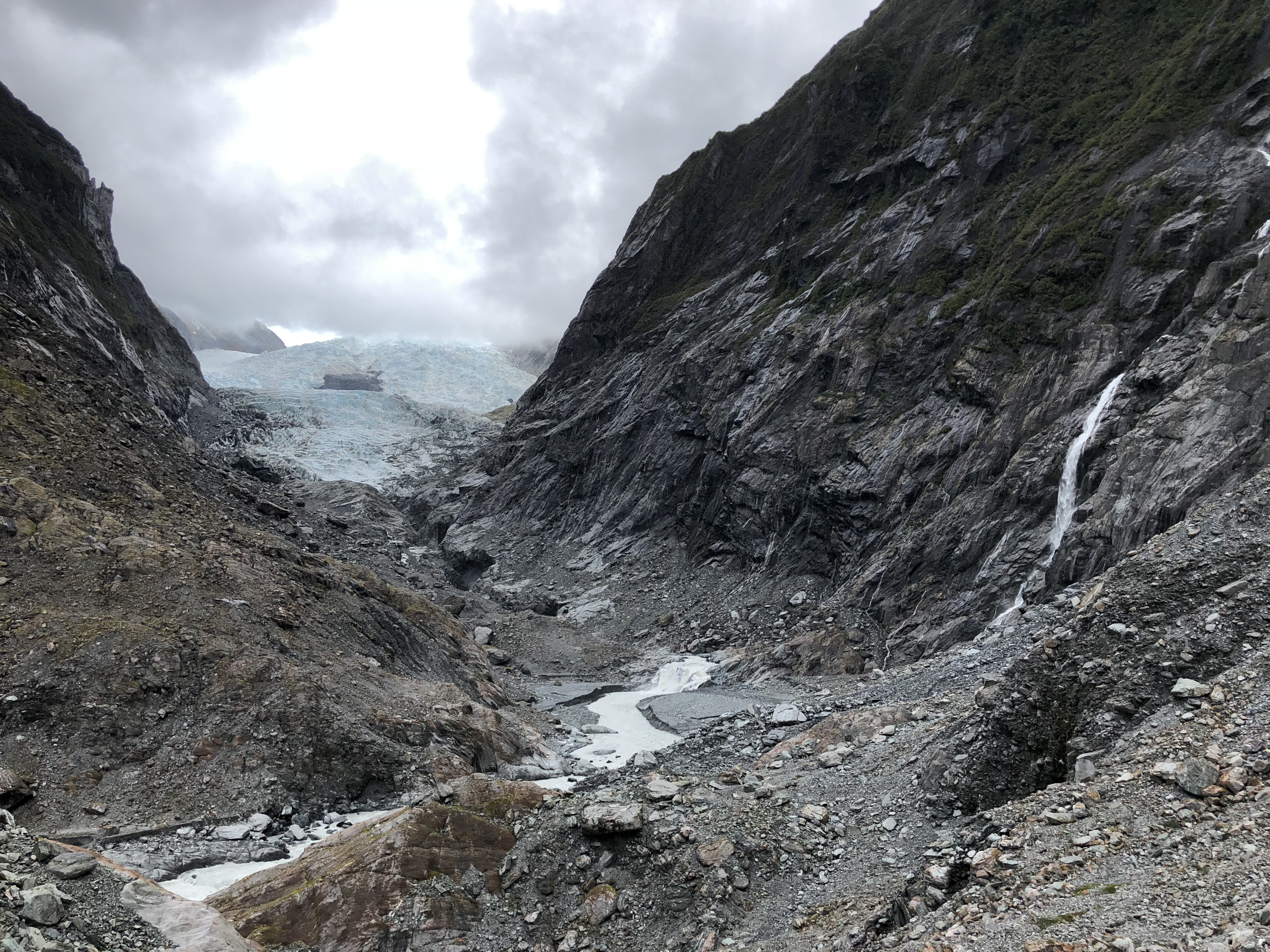
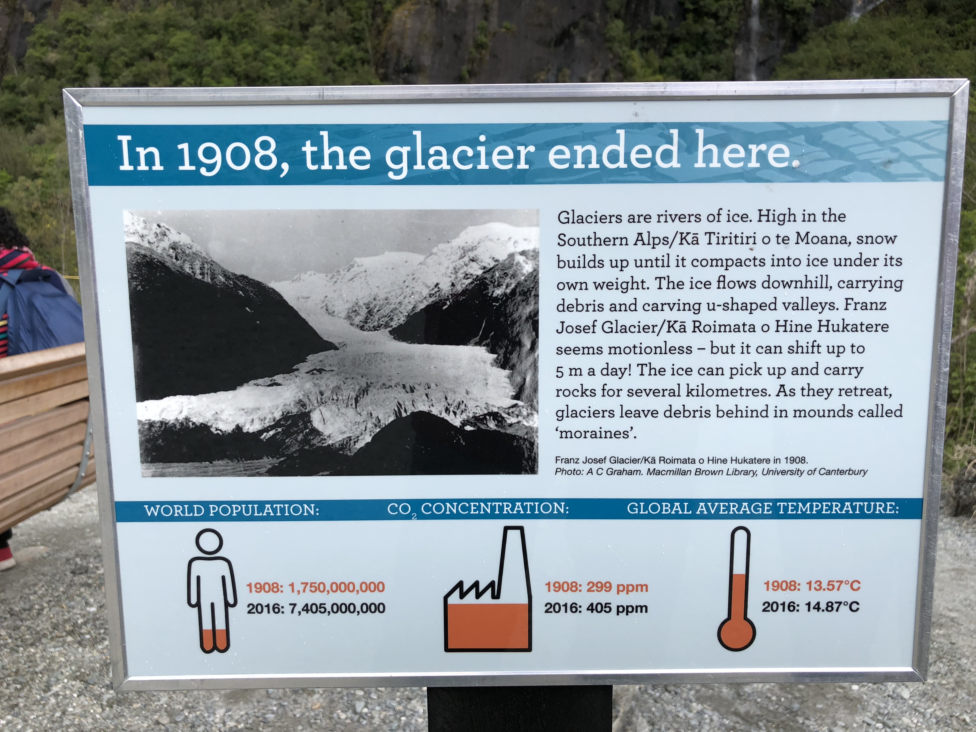
There are two alpine glaciers, located within Westland Tai Poutini National Park, that are accessible by short hikes, Franz Josef Glacier and Fox Glacier. Coming from the north, we stopped at the i-SITE at Franz Josef to get some information first. The trailhead is about a 10-minute drive from there. The trail is rated as easy. Franz Josef Glacial Walk is a geologist’s fantasy land. All the glacial terminology came back to me as we walked up the glacial valley. It was amazing to see the power of the nature, caving out the massive glacial valley and forming all those geological features. It was also shocking to the impact of human activities on such a great landscape.
Bruce Bay and Paringa
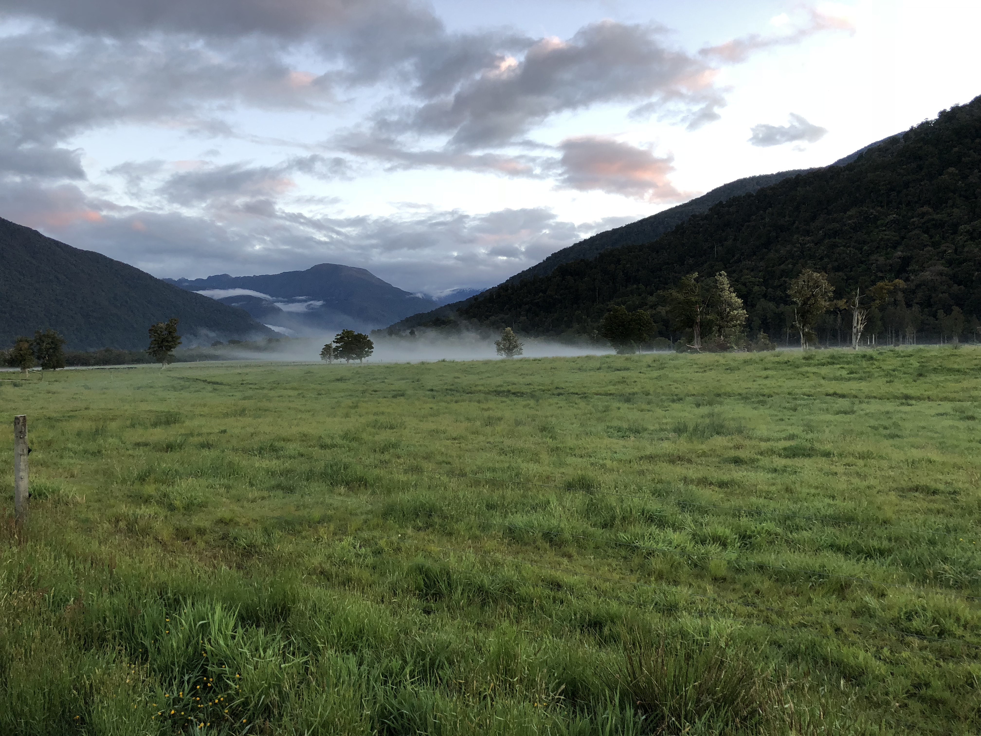
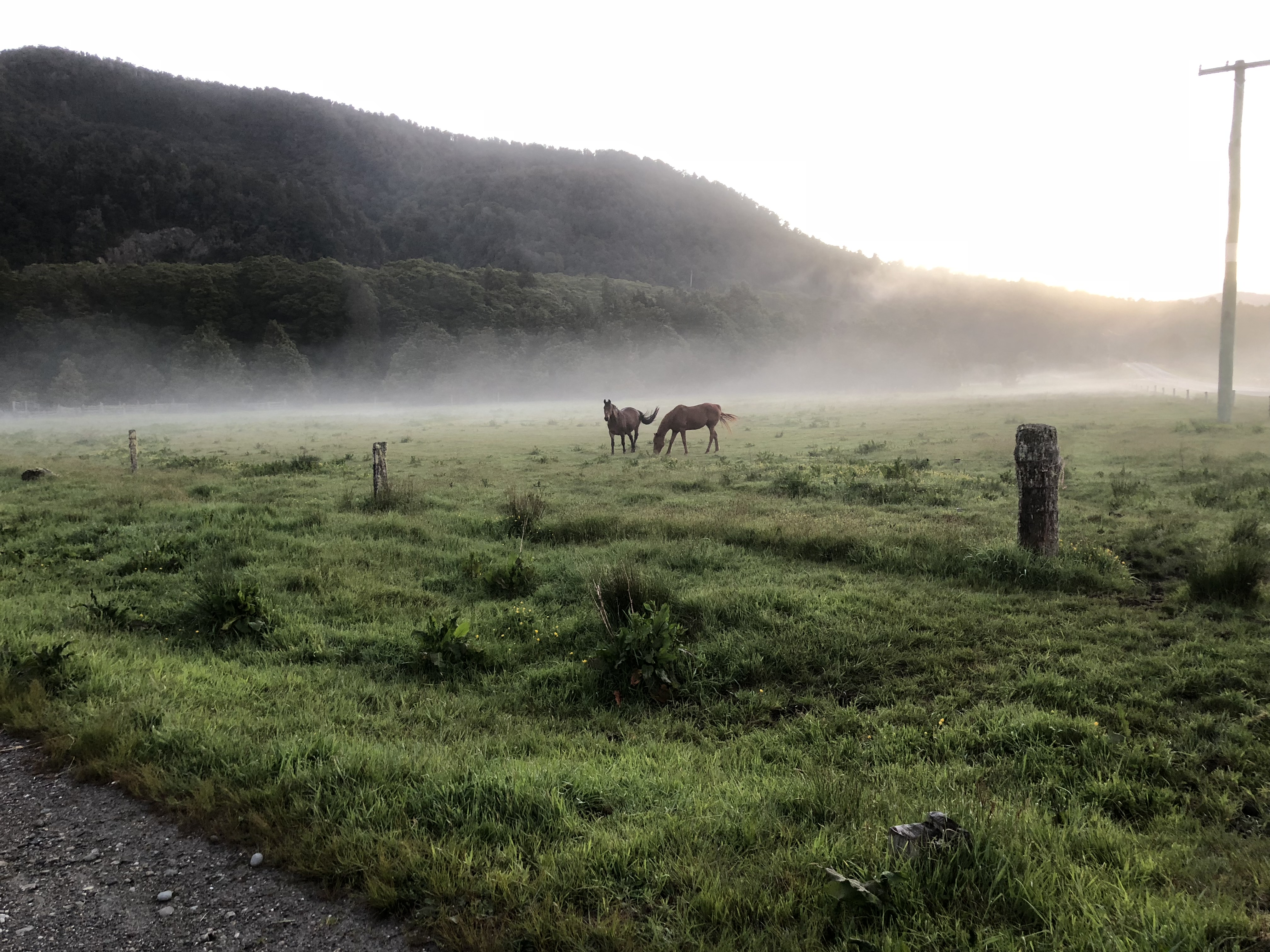
Southbound from Franz Josef, we stopped at a beach near Bruce Bay to catch a glimpse of the sunset. As the highway curved inland we saw fog rolled over the hill and quickly covered the small valley. When we stopped to marvel the magical scene, two horses just walked out of the fog towards us. It’s like we just walk right into the magical land of middle-earth.
Useful links
The Northern West Coast
With scenery so stunning it takes your breath away and sunsets so impressive even Instagram told us to tone it down. It takes a while to get around the largest region in New Zealand, but the journey is the best bit.
What to see
There are so much to see on the West Coast. Punakaiki Pancake Rocks and Blowholes, Franz Josef Glacier Walk, Fox Glacier, Hokitika Gorge Walk and more. Depending on our pace, we could spend 2-3 days on the West Coast.
Getting there
From Takaka Hill, we followed the Motueka Valley Highway, connected to State Highway 6, then cut through part of Kahurangi National Park before reaching the coastline. We planned to stop at Hokitika, about 370km drive for the day.
Over the mountain
Tapawera
As it was early sprint in New Zealand, we saw some of the most amazing floral and plants along the mountain slopes. On the way, we happened upon Tapawera Armistice Weekend 2018 at Tapawera. An event celebrating the centenary of the 1918 signing of the Armistice in Europe signalling the end of the First World War. We arrived on the last day of the three-day event, with many First World War themed activities and displays. We saw a lot of small planes parked on the grass field outside the town. I wounder whether people fly their own planes here for the event. We stayed only for a few minutes and left when the parade just about to start.
Buller Gorge
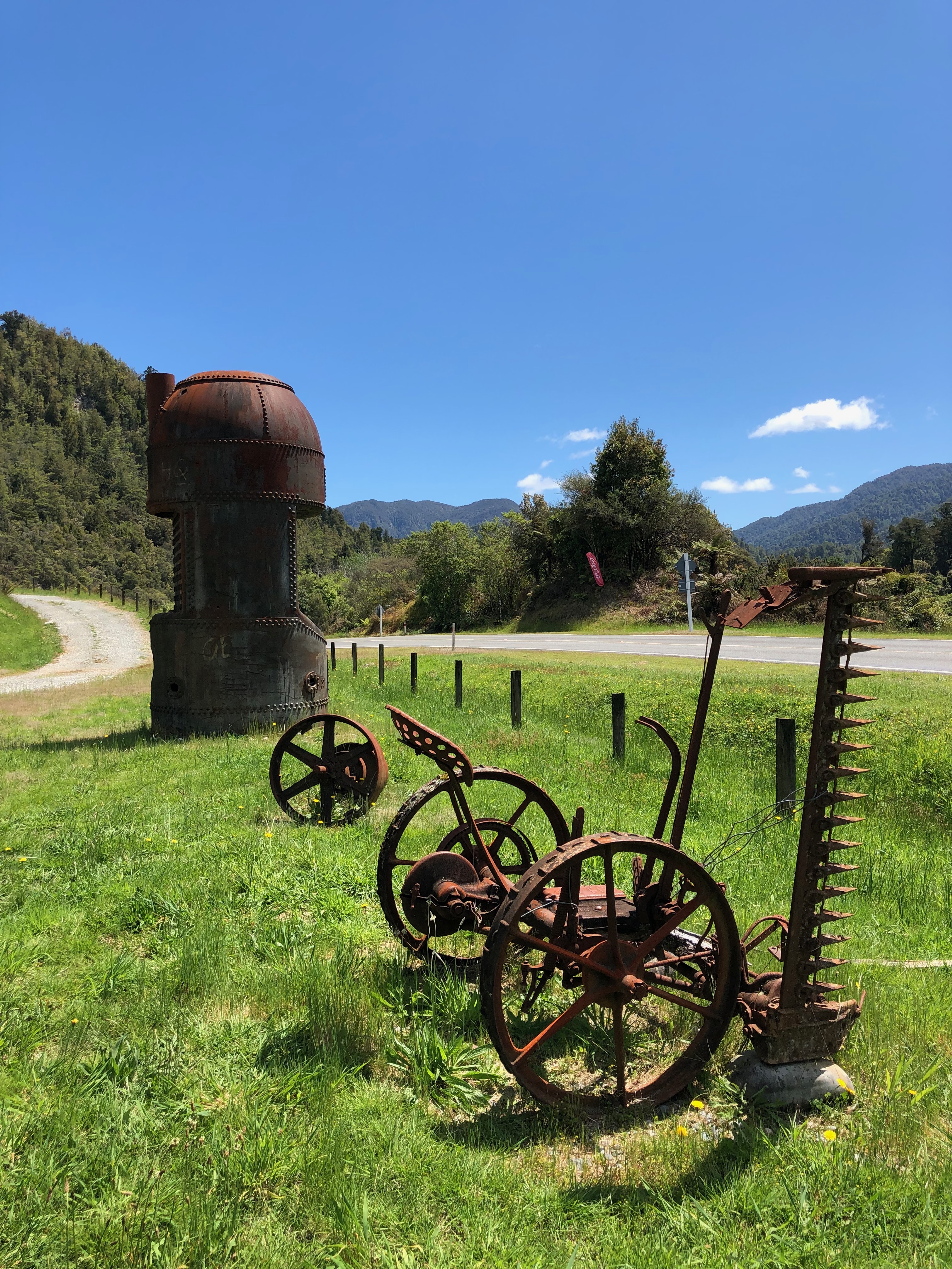
Later, we stopped at Berlins Cafe & Bar, located in the scenic Buller Gorge, for a cup of flat white. It’s a nice place to take in the scenery of the valley. Outside the cafe, several rusty Steam Punk sculptures scattered around the yard. The Buller Gorge Swing Bridge seemed nice from the picture, however it is another privately managed attraction and we still had a long drive ahead of us, so we decided to pass it.
By the sea
Inland Pack Track
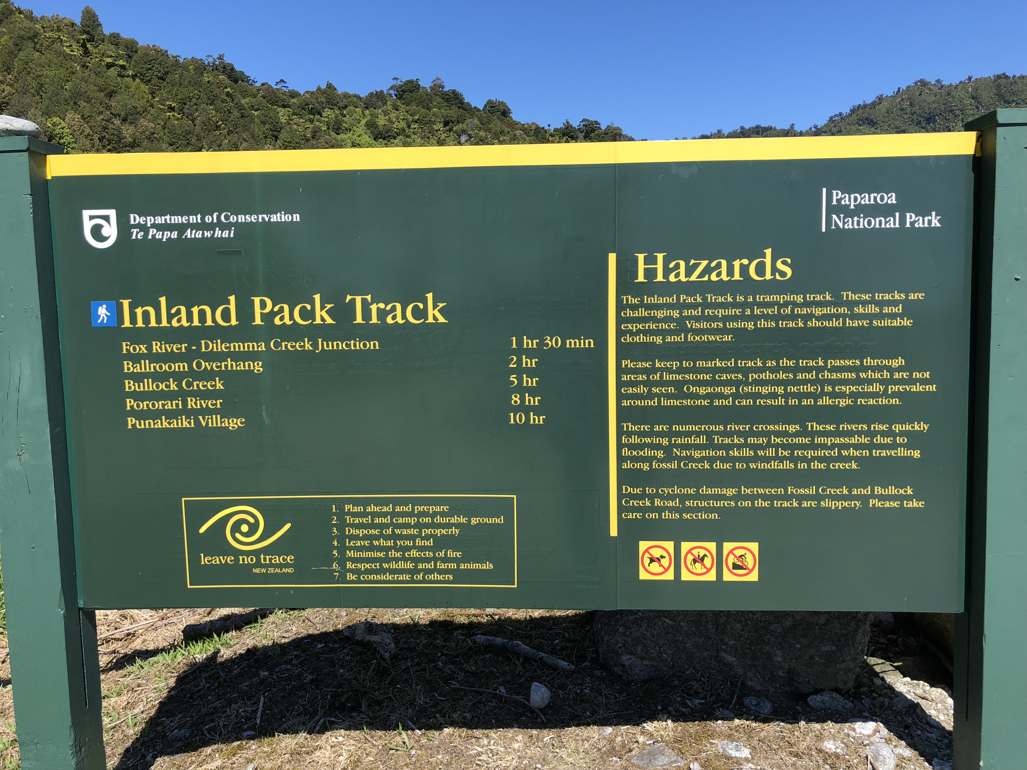
Once we reached on the coastline, we were in the territory of Paparoa National Park, the third New Zealand national park we visited so far. Before we got to Punakaiki, we went on a short 90-minute hike along the Inland Pack Track for about. The track was really muddy at places, mostly due to the rain in the last few days. We turned back at the river bank as we were not ready to tread the river.
Punakaiki
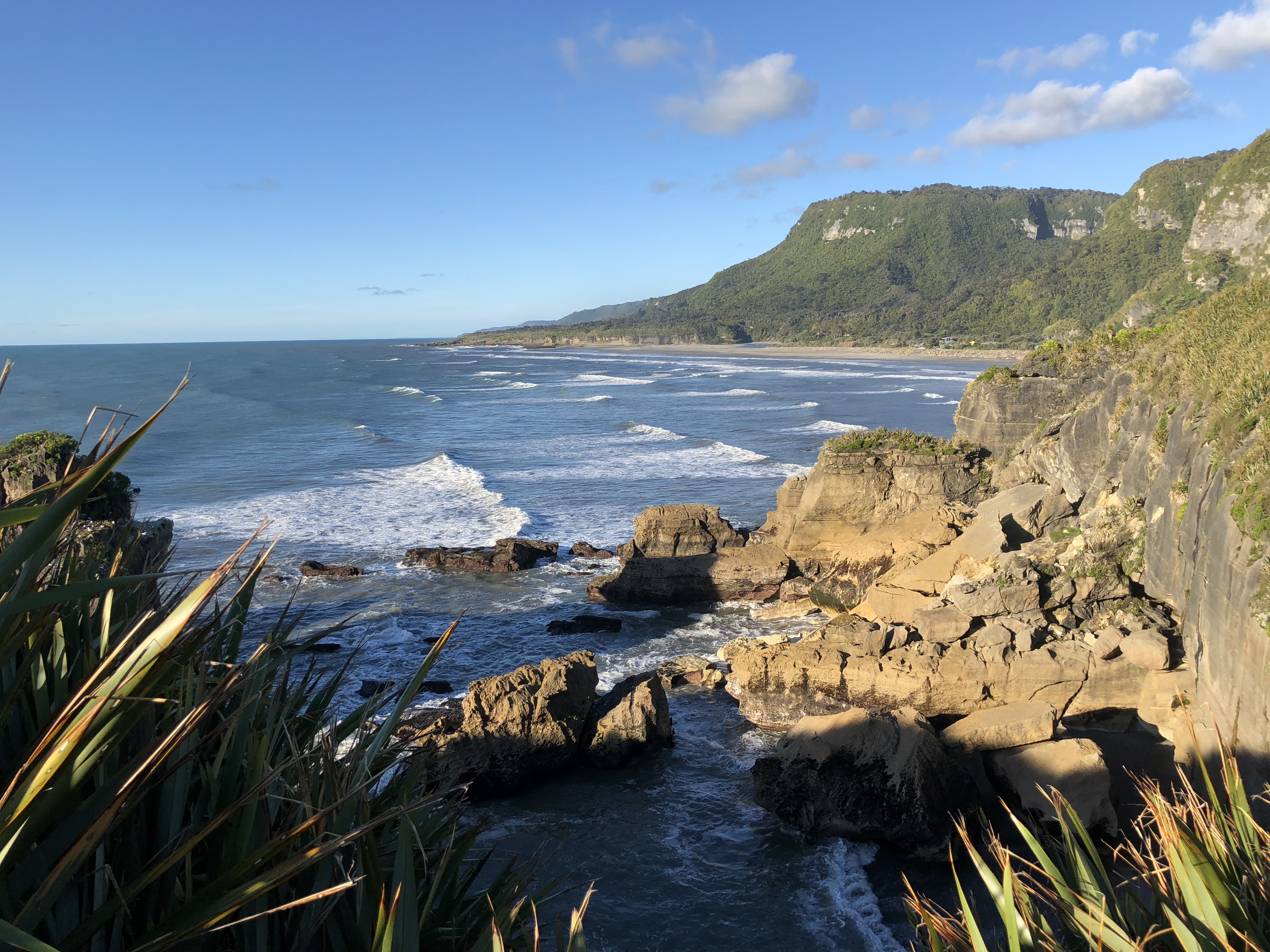
The Punakaiki Pancake Rocks and Blowholes is one of the geological wounder on our must see list. Actually, the entire New Zealand is one big geological wounder! The geologist inside me was trying to figure out how the rock got into such an interesting formation. According to the information, it is still somewhat an unsolved mystery. The ocean view was unbelievably vast. Standing at the platform, once can almost made out the entire Northern West Coast coastline. Luckily we got here around 18:00, not crowed with tourists. However, it was at the low tide of that day, thus we did not see the blowholes in action.
Motukiekie Beach
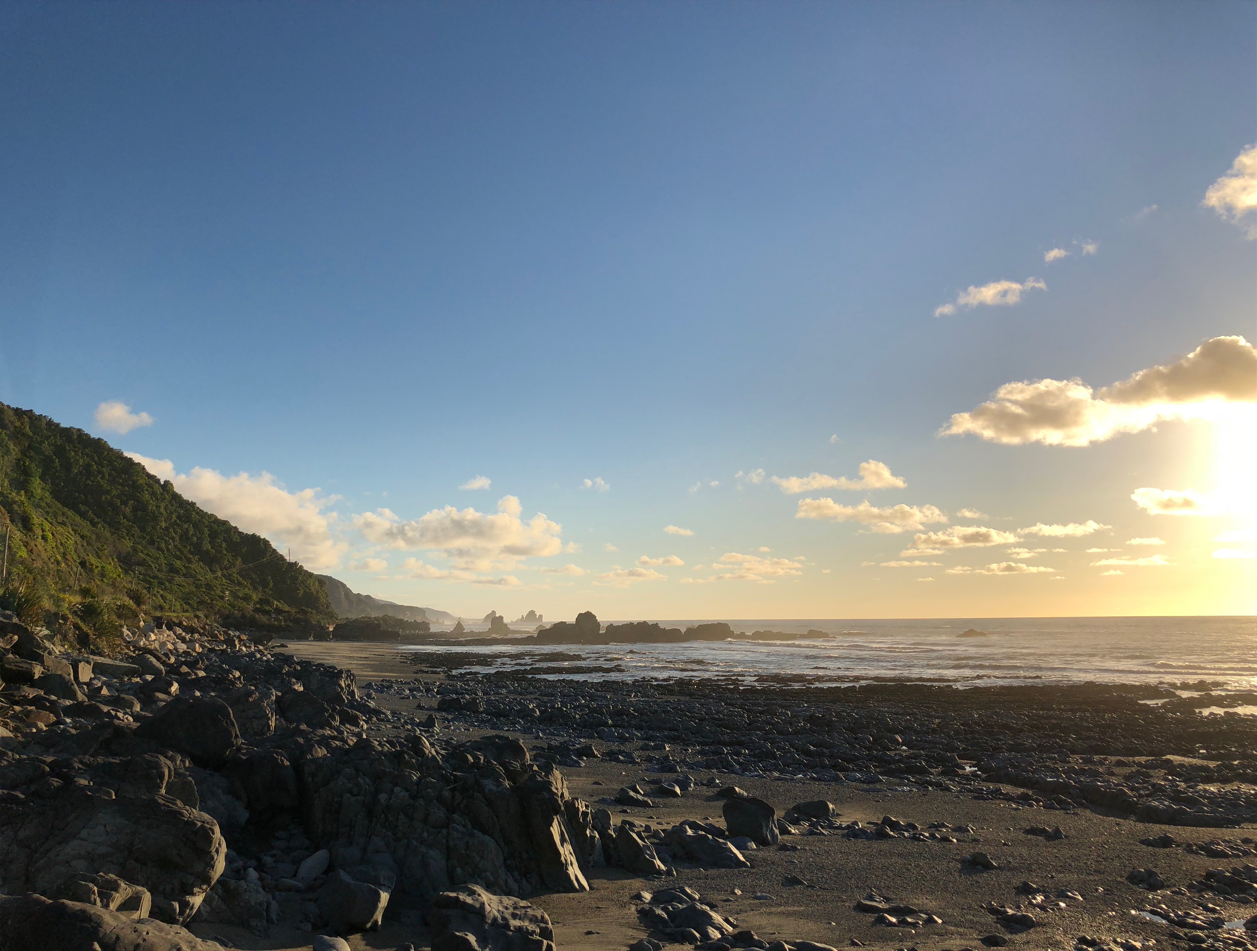
We came to Motukiekie Beach to watch the sunset. This is another surprised location we came across. The rock formation protruding out in a distance looked like outline of a Viking ship or dragon boat. The lighting from the setting sun and mist rising from the ocean made them looked mysterious. As the sun was setting we did not spend enough time here. Next time!
Hokitika
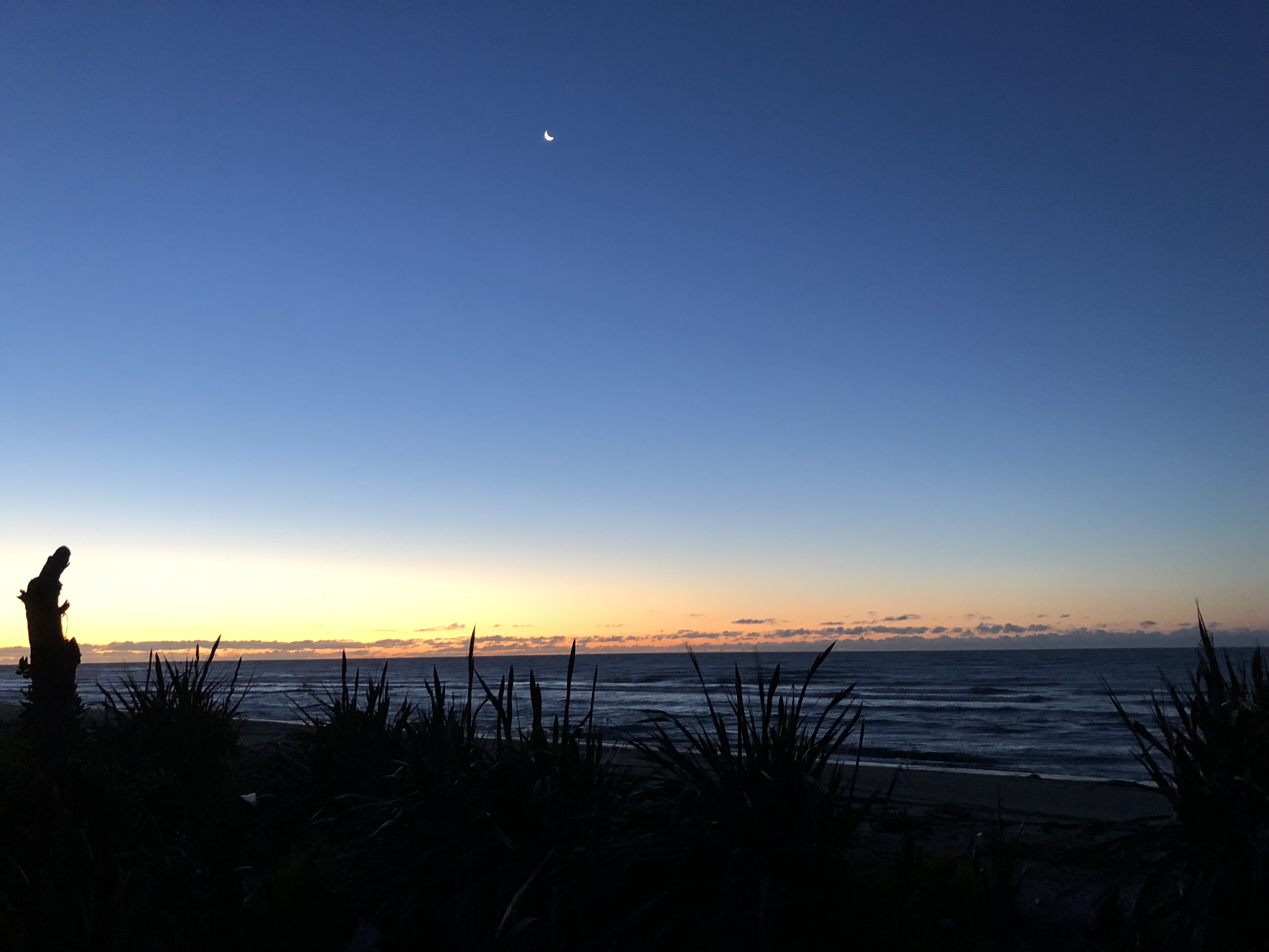
The Cabin on the Beach is a nice little cozy Airbnb in Hokitika. The beach is only steps away from the cabin. When we arrived, the sun just settle below the horizon and the crescent moon hung in the deep blue sky. What a nice place to end the day and rest our feet.


Useful links
Nelson/Tasman
With three national parks, visitor can enjoy everything from golden beaches to high mountain peaks in Nelson/Tasman.
Nelson
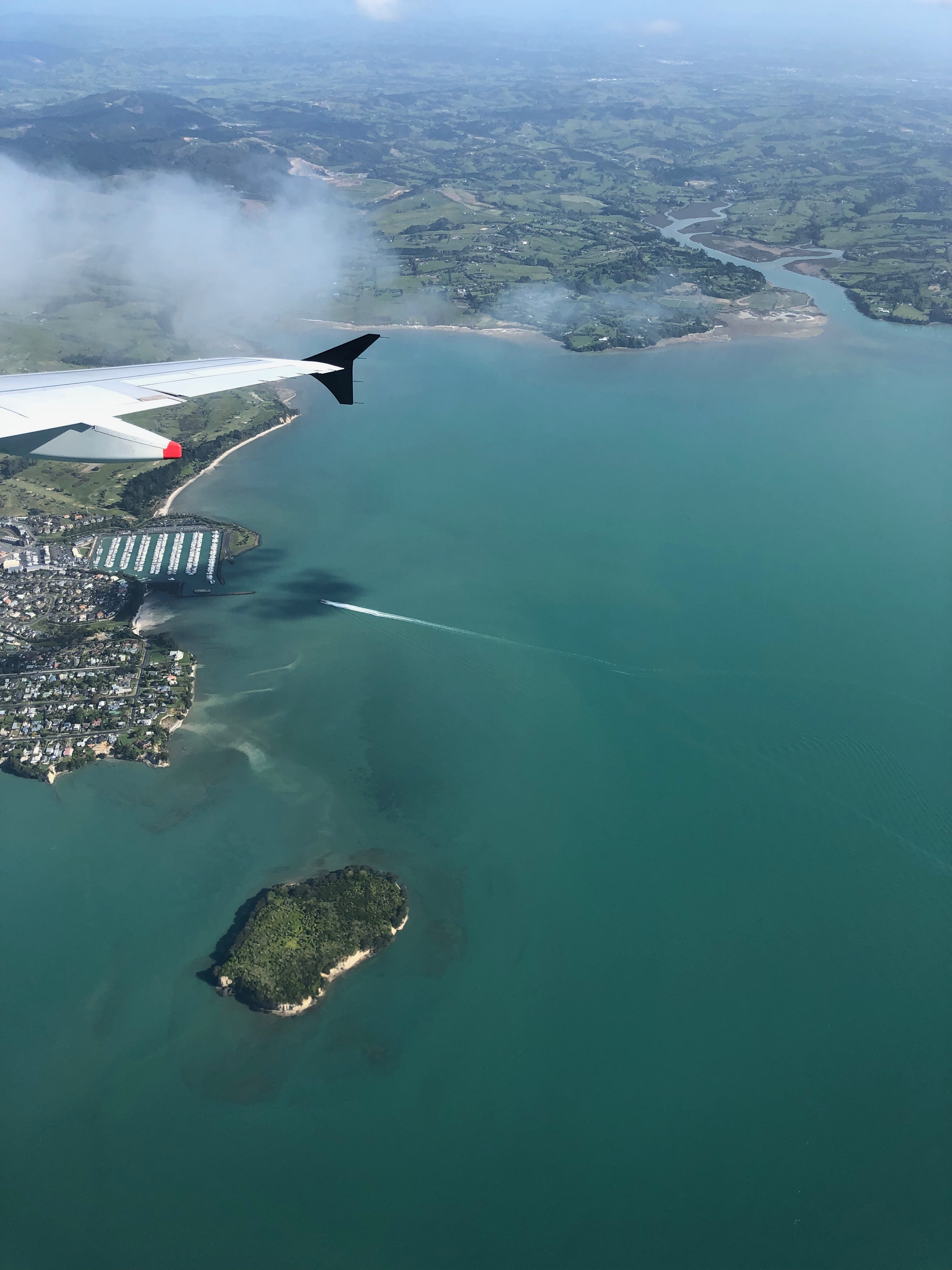
Instead of taking the ferry from the North Island to the South Island, we took a short flight from Auckland to Nelson. Auckland airport has a cozy domestic terminal. No gate areas, once boarding was called, just walked right on to the tarmac to get on the plane.
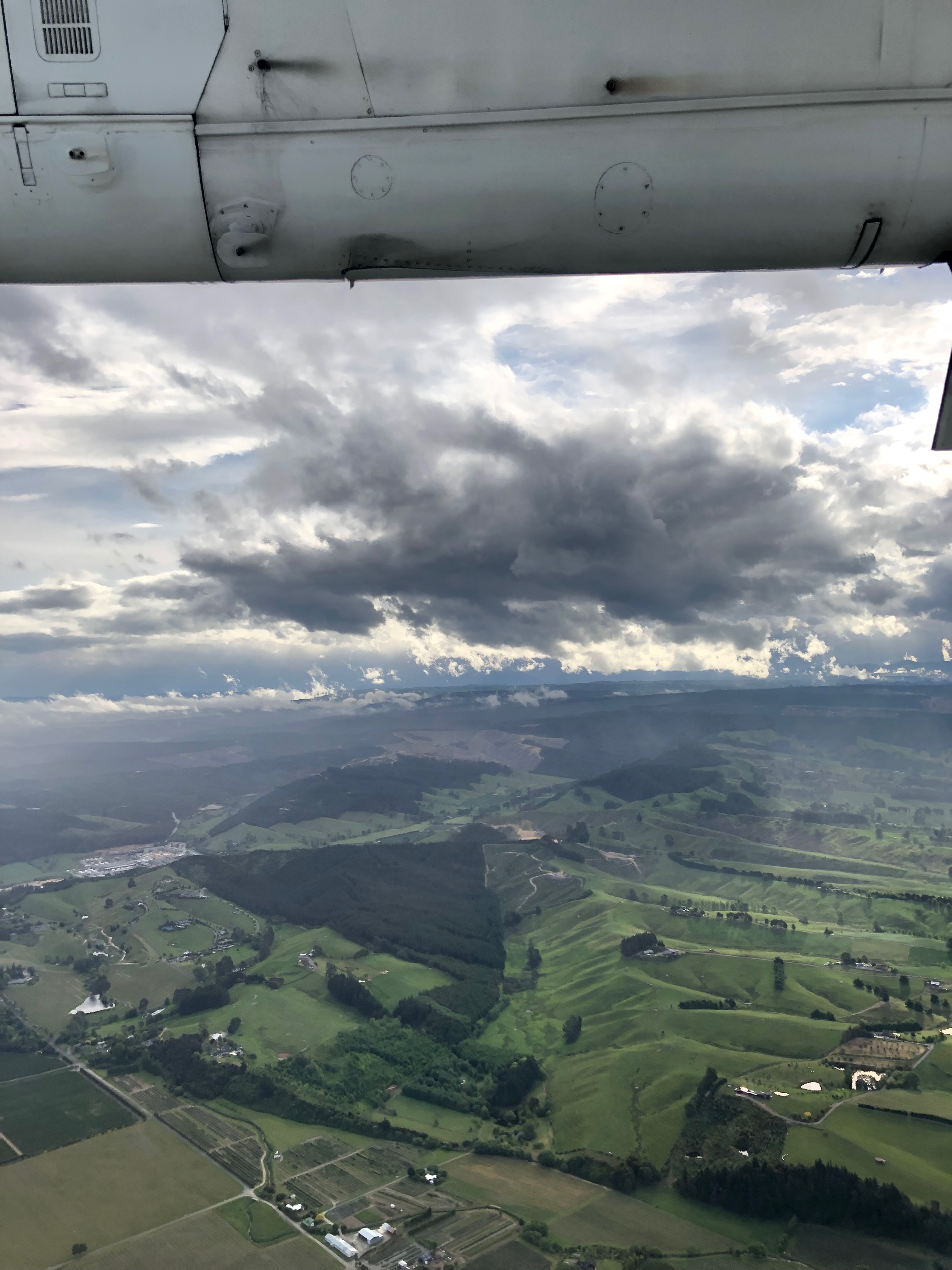
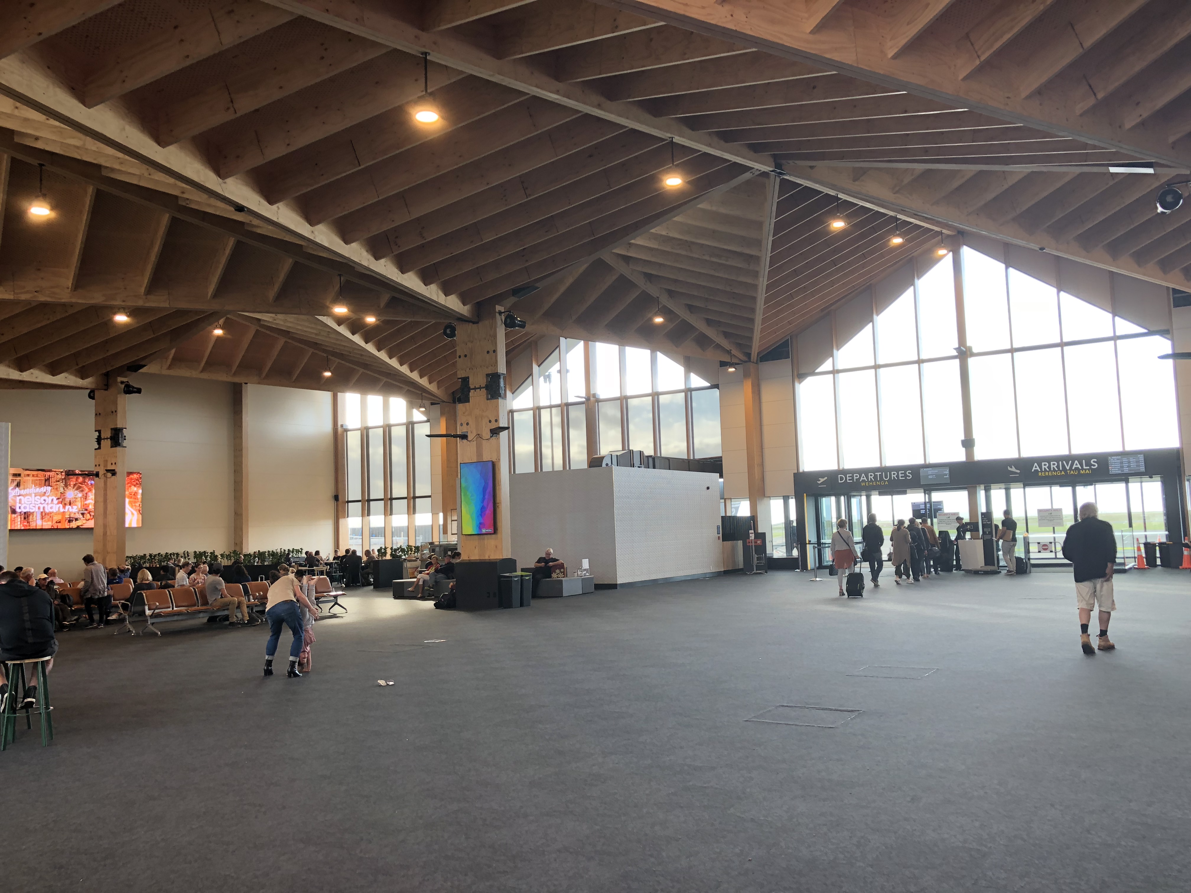
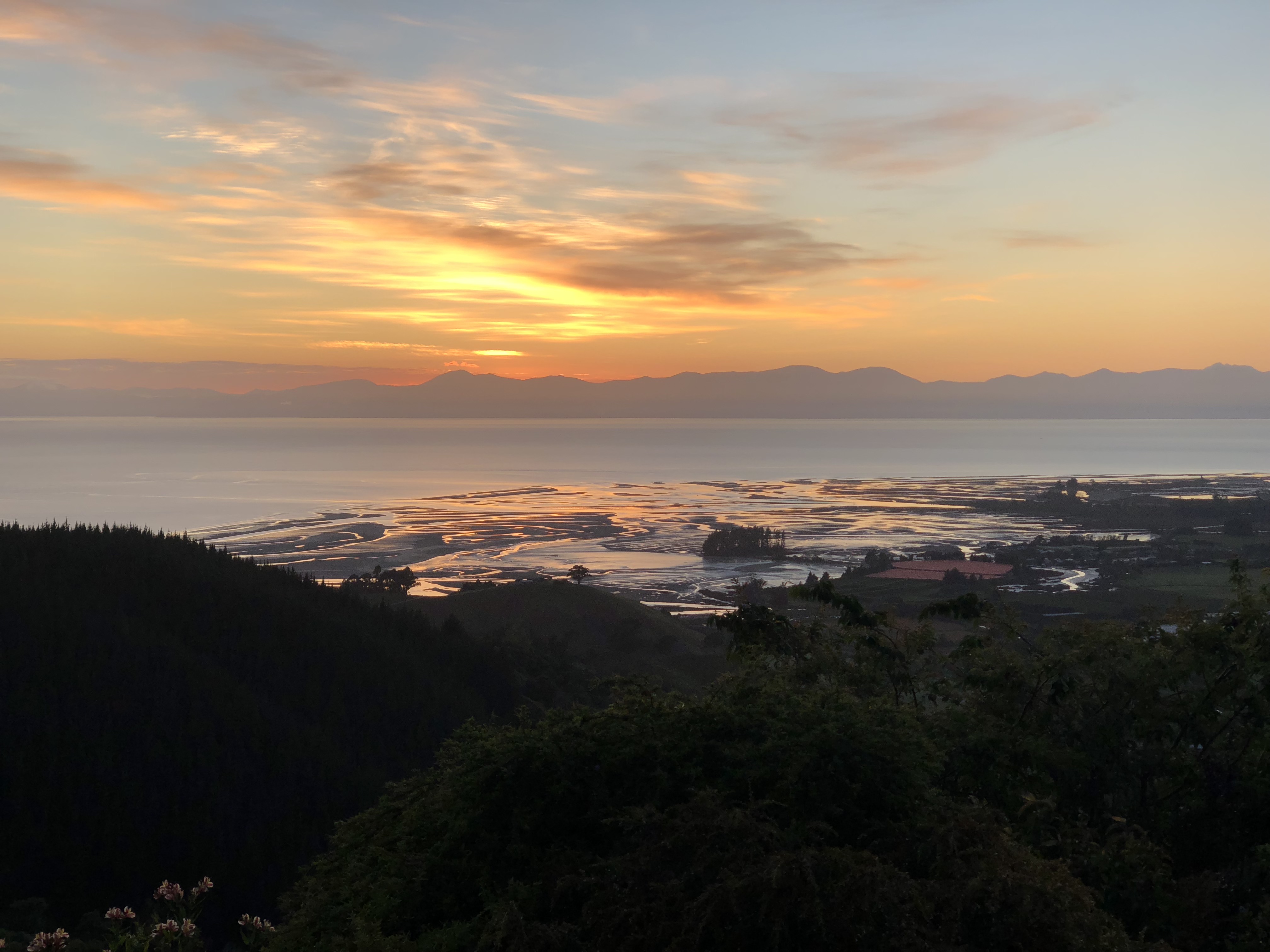
As we approached Nelson, we were treated to a beautiful view of the coast line of Tasman Bay. Nelson airport has a brand new terminal with vaulted, wood paneled, arch ceiling, representing the nature beauty of the mountain range in the region.
We picked up our rental car, a Mazda CX-5, from Hertz and head over to our friends’ place at Takaka Hill. The house was built on a hill top, overlooking Tasman Bay, and surrounded by Abel Tasman National Park and Kahurangi National Park. This is our home for the next three days.
Tasman
Cape Farewell
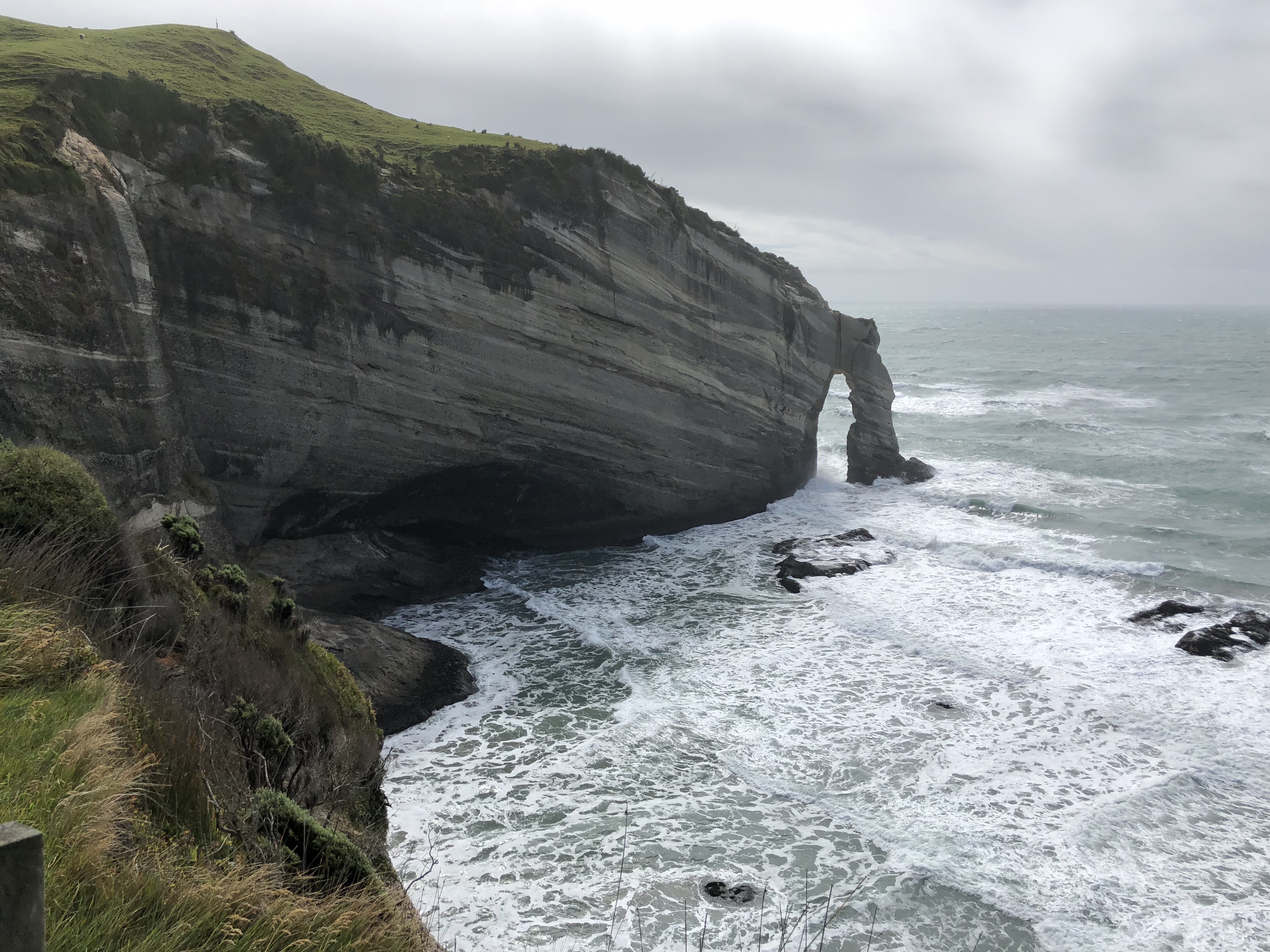
Cape Farewell is the northernmost point of South Island. It took us about an hour to get to Golden Bay Visitor Center at Takaka, then another hour from Takaka to Cape Farewell. The attendant at the visitor center was very helpful, otherwise we would not have found the trail head. Once we reached the end of paved road at Puponga, it’s another 10-minute drive on the unpaved gravel road before reaching the track.
It’s a breath taking view at Cape Farewell. It was so windy that day, it felt that I would get blown out to the Tasman Sea. Instead of hiking 90 minutes down to Wharariki Beach, we decided to drive to the other end of the track then take a short hike to the beach.
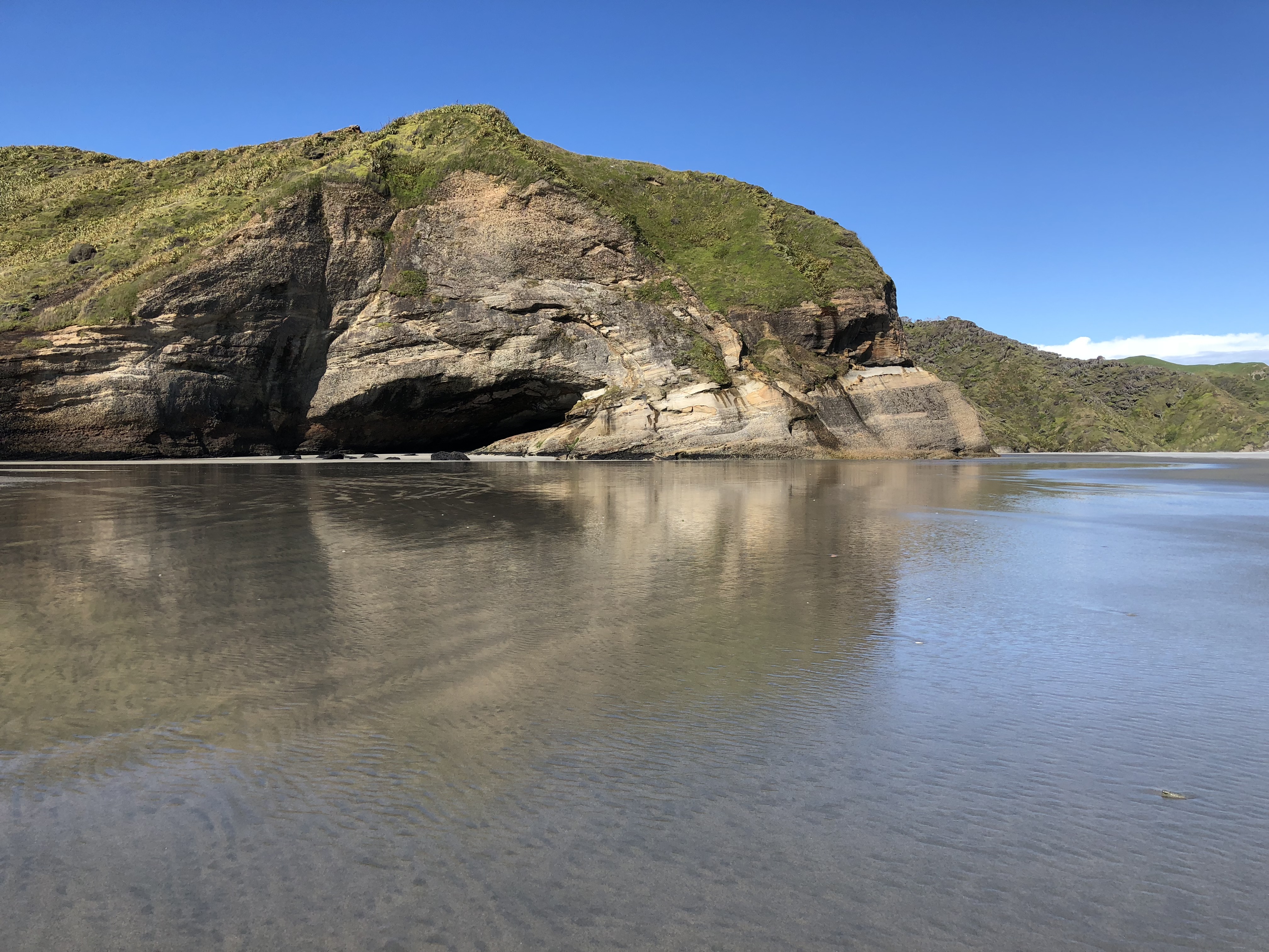
Wharariki Beach
We got to the beach at a low tide. The beach stretch way out into the Tasman Sea. The wind was so strong, we felt like we were getting sandblasted. From shape of the sand dunes and the vegetation, looks this was a typical day in life for this area.
When we were down there, a family walked up to us asking for direction back to the car park. I turned back and ready to point at where we came from and was stunt to find that all my tracks were erased by the wind; and I was not able to distinguish one sand dune from another. Luckily, at edge of the sand dune where we came down, someone had built a couple of teepees from the drift wood. Perhaps that’s why they built those markers. Phew!
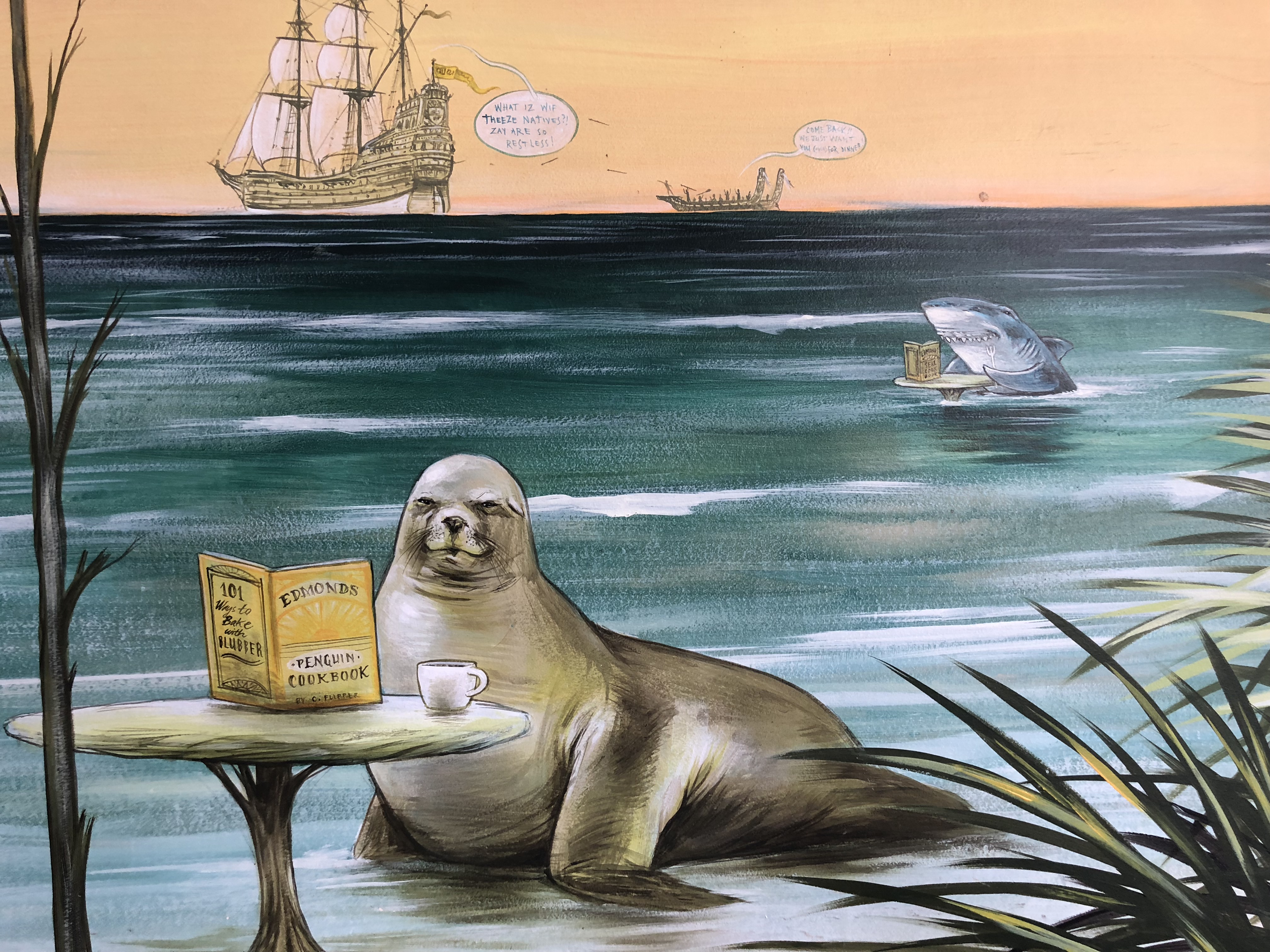
On the way back, we stopped at The Dangerous Kitchen at Takaka for dinner. The setting was nice. The mural at the covered outdoor seating area was fun to read. The pizza was good, but the pesto sauce was not so much. Instead of basil the pesto was made with parsley. The flavor and texture were all wrong for pesto. So, if you come to this dangerous place 😉 be cautious with the pesto. The other good restaurant in the area, recommended by our friend at Nelson, is The Mussel Inn. That will be on the “next time” list.
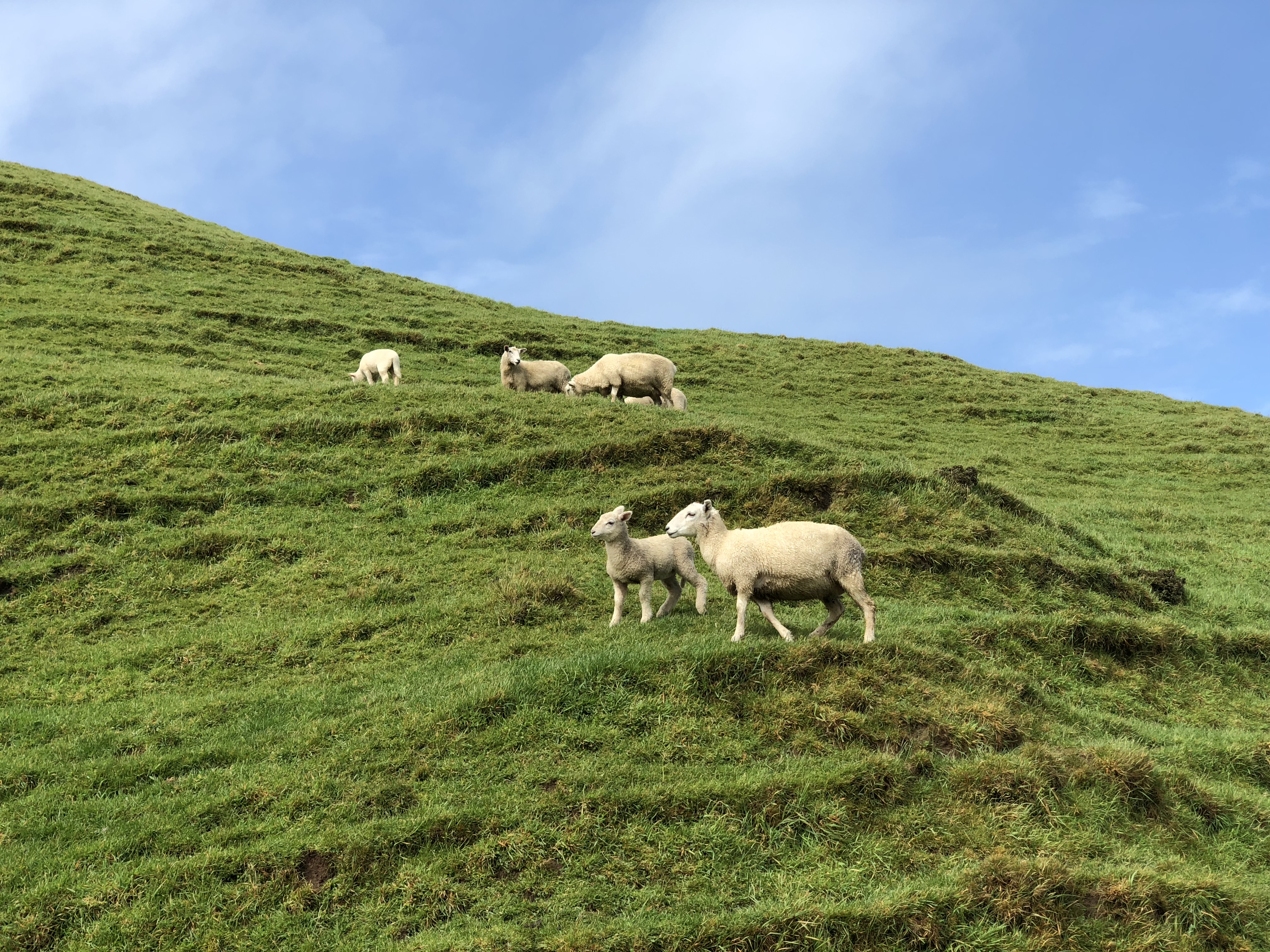
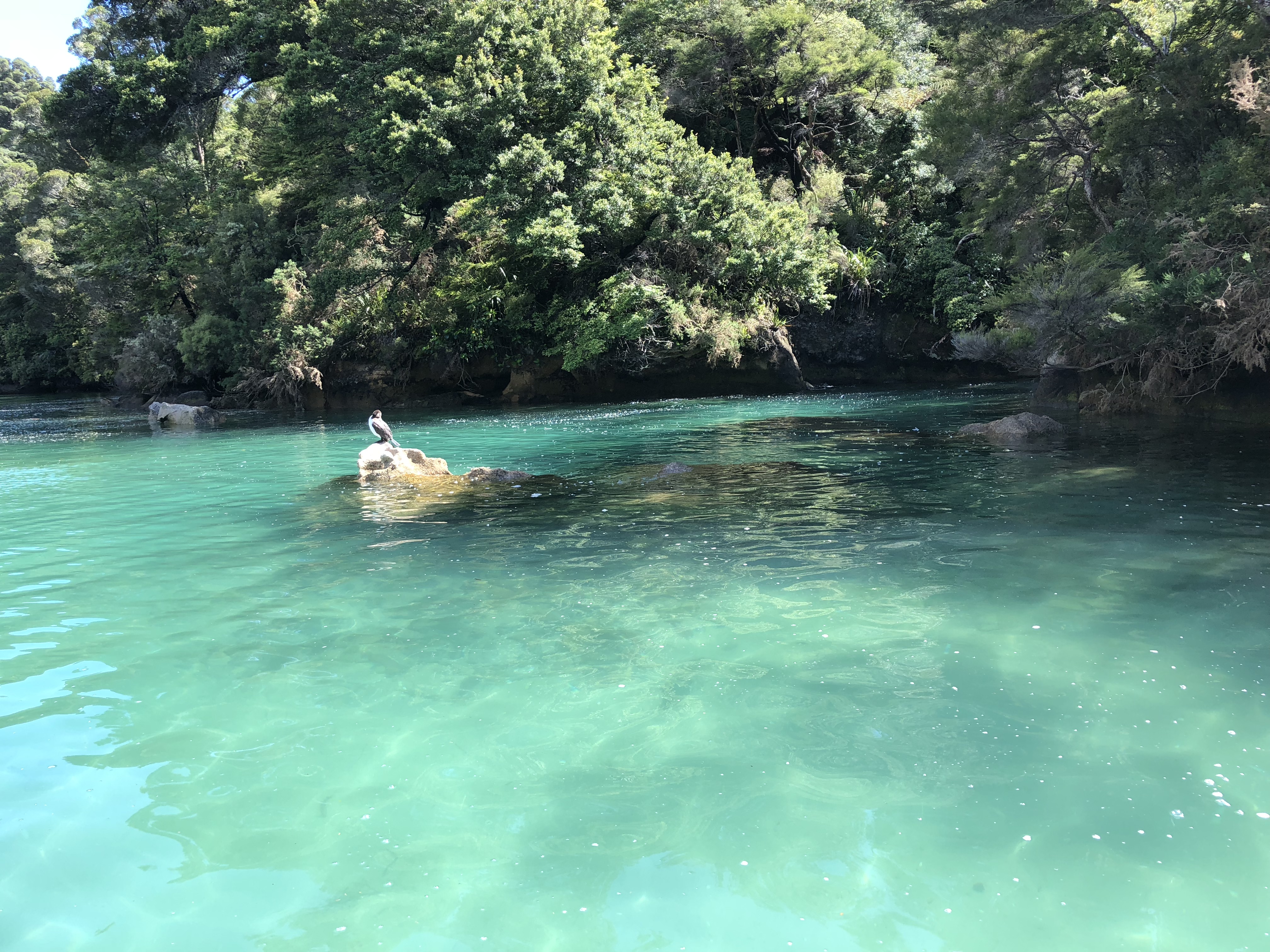
Abel Tasman Coast Track
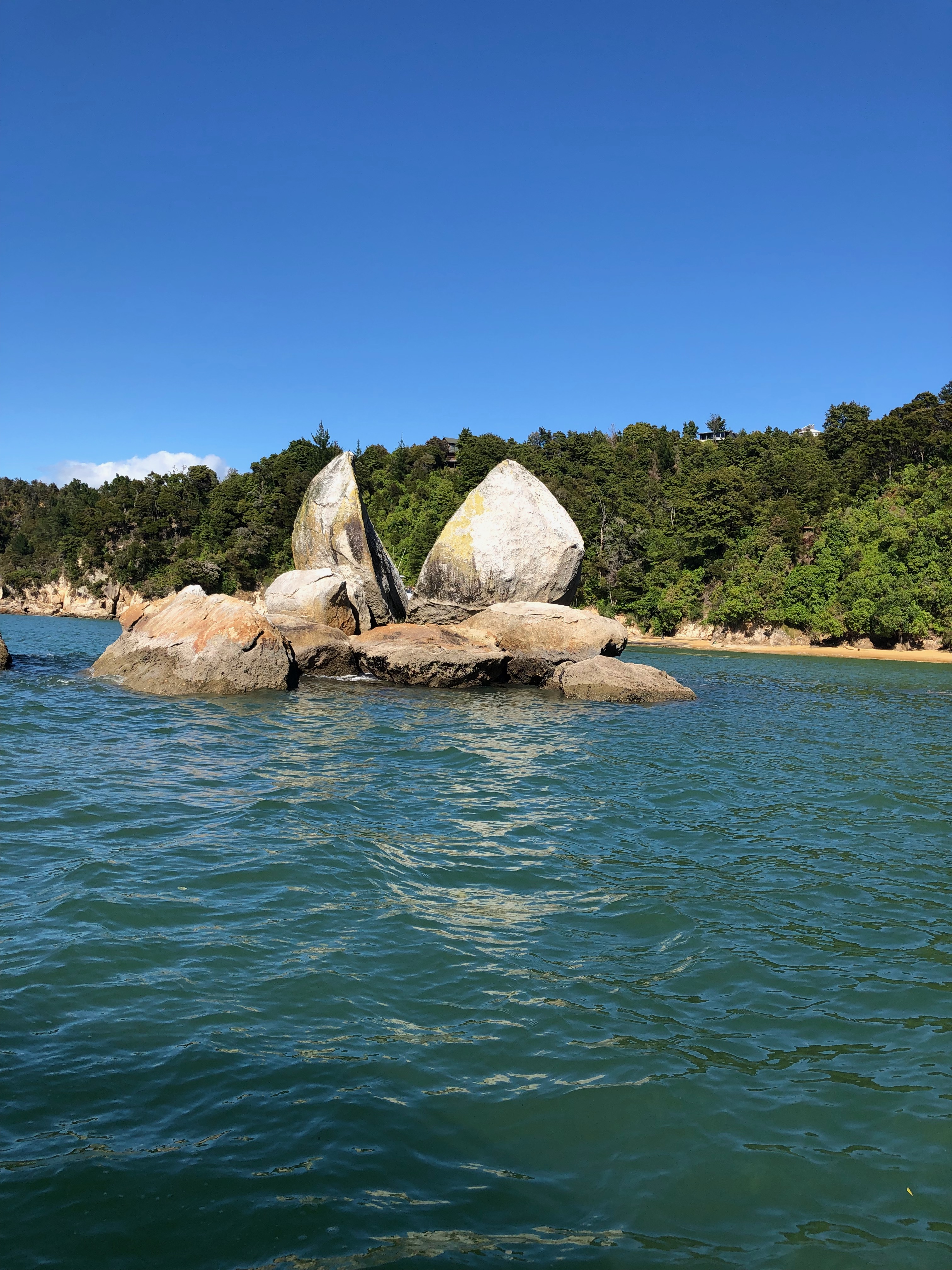
Abel Tasman National Park is New Zealand’s smallest national park. Most of its beauties and wonders are along the coastline. We decided to take a water taxi and walking trip for the day. We would start with a water taxi ride at 9, cruise the length of the incredible Abel Tasman coastline right up to Totaranui and back to Bark Bay (2.5hrs). Then we would hike the most scenic section of the Abel Tasman Coast Track from Bark Bay to Anchorage (3.5hrs) before returning on an afternoon water taxi.
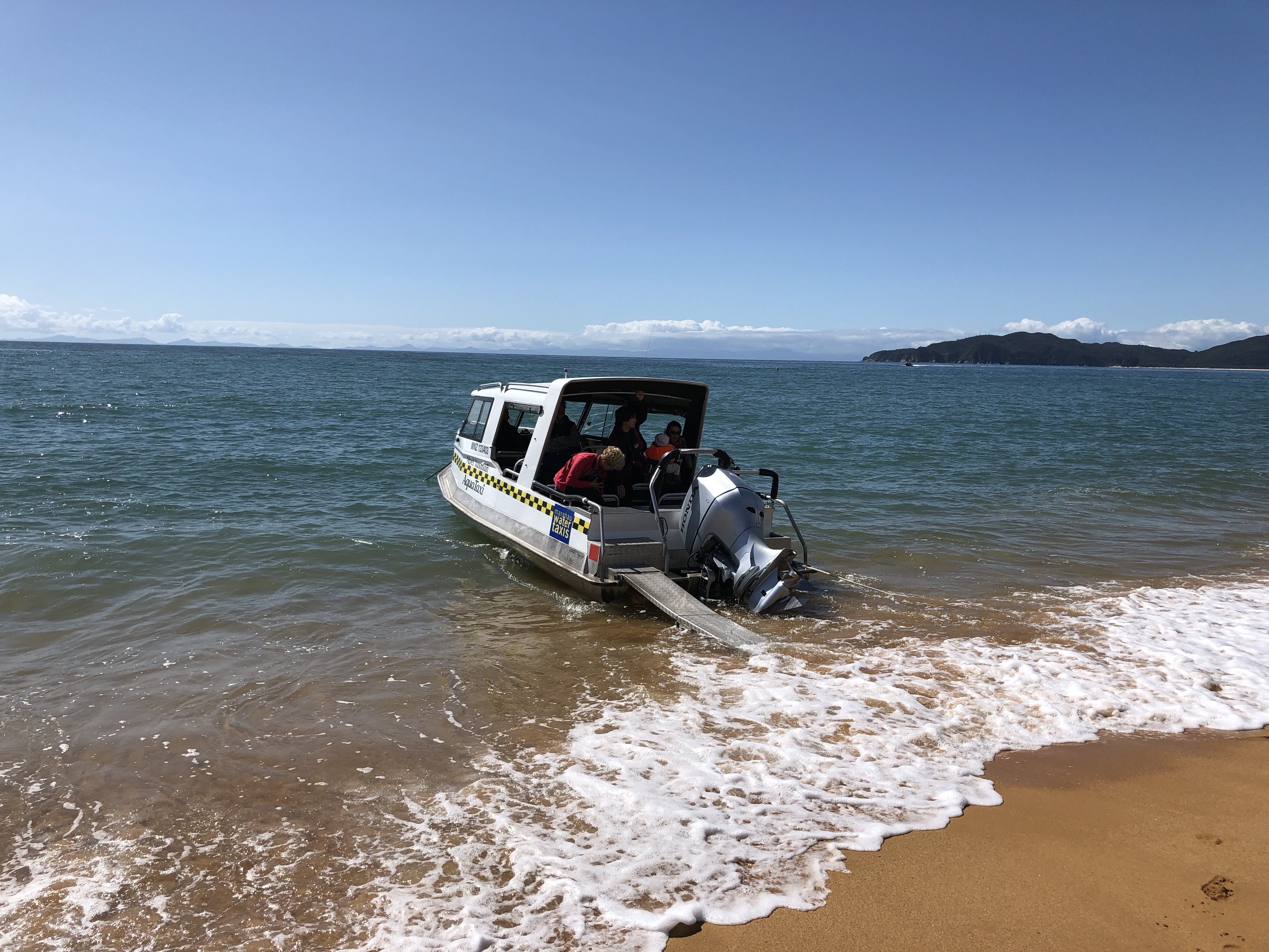
When we arrived at the water taxi company in the morning, a big crowd of people had already gathered at the parking lot. Several water taxis, i.e. speed boats, were already there, each mounted on a trailer hooked up to a tractor. The coordinator called our names and tell us which boat to climb on to. Yep, we climbed up to the boat that was on the trailer. Once we all got onboard, the tractor pulled us down the boat launch, down into the shallow harbor, pull us about 100m offshore where the water is deep enough to float the boat off the trailer. What a fun experience before we even started on our tour of the coastline.
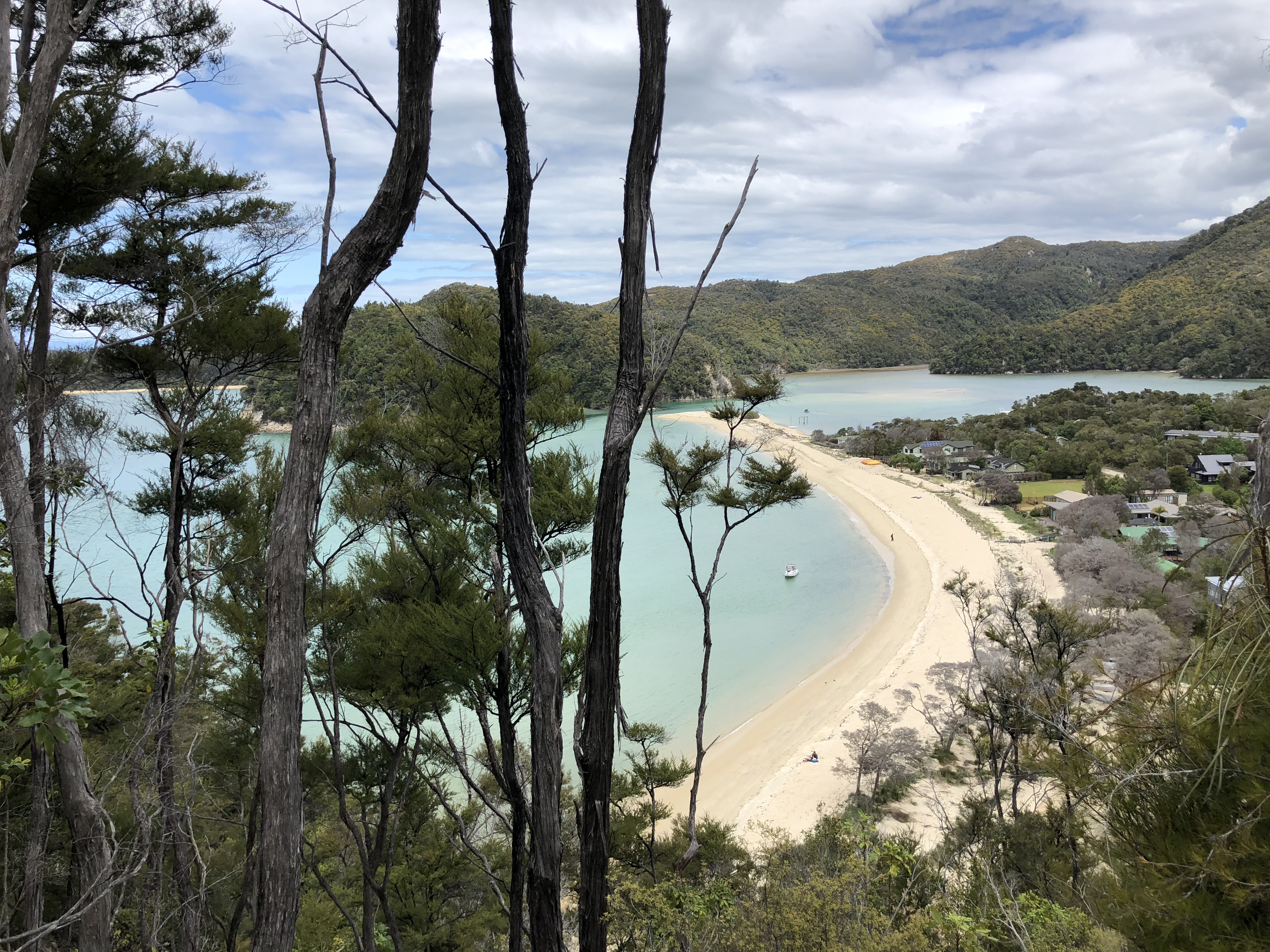
Along the way, we also learn that most of the pine trees we saw on the coastline are invasive species, brought in by the early settlers. Also, the sand have such high content of iron, they appear in a hue of rusty color. I was able to pick up large sand grains with the magnet on my backpack.
When we reached Bark Bay, the captain just backed up the boat as close to the beach as possible then dropped the ramp, kind of, on the beach. If timing the wave just right, I could walk on to the beach without getting wet. Instead, I just took off the shoes and wade through the cool, pristine water
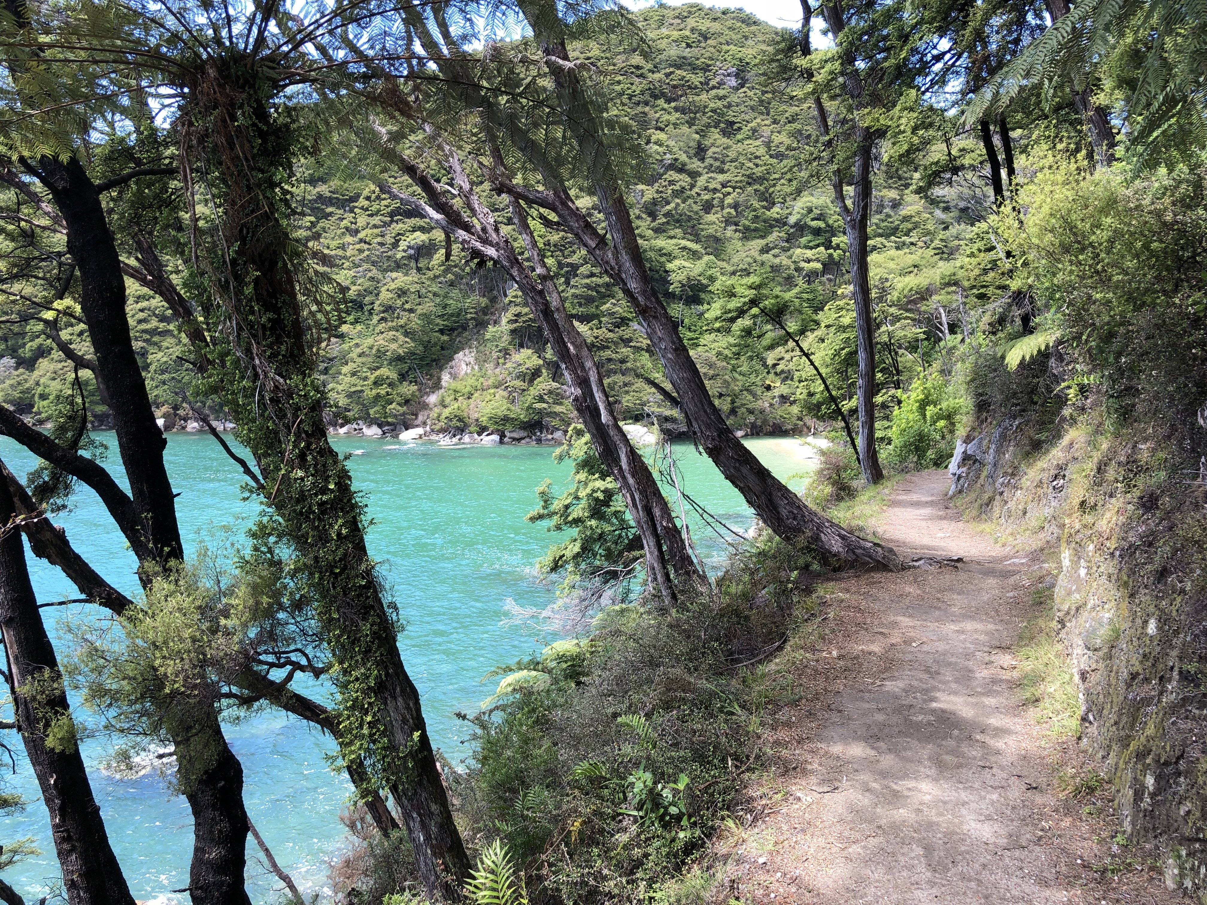
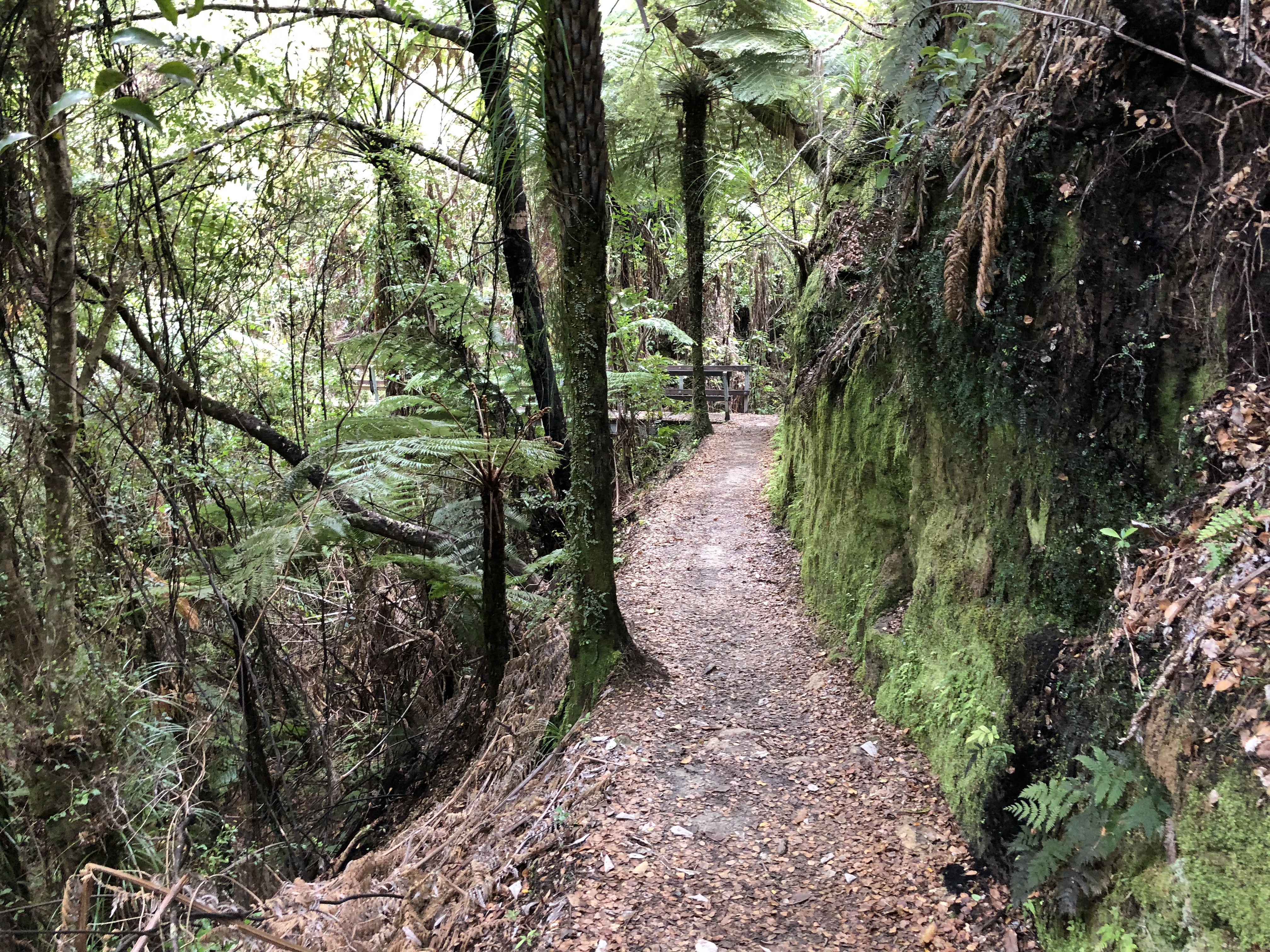
The track surface was mostly packed dirt road, and the weather was so mild that made it an easy hike. We would have taken all the time to enjoy the scenery, except that we had to reach Anchorage by 4 pm to catch the returning water taxi. When we reach Torrent Bay, the tide was still high enough that we cannot cross the estuary to reach Anchorage. We had to walk around the estuary, which added about 4km to the hike. While it would have been fun to cross the estuary at low tide, the longer route was totally worth it. Next time we will check the tide tables and take the shortcut.
Useful links
Rotorua
Kia ora
Hello, New Zealand! After some delay due to the massive storm in Melbourne, we are finally here, the land of Kiwis.
The Auckland airport was under construction when we arrived. The first part of the custom with e-gates was pretty quick and easy. The second part was a bit messy. Lines of passengers winding around the construction barriers before reaching the custom officers for a friendly chat about New Zealand biosecurity.
Things to do
We have two days on the North Island. The two must sees are the Champagne Pools at Wai-O-Tapu and Hobbiton, the Hobbits movie set. If we still have time, I want to take a peek at the Tongariro Alpine Crossing as well.
Getting around
As we had arrived in Auckland after 18:00 local time, the shuttle from Snap Rentals was no longer in service. Reading the confirmation email more carefully, we realized that the rental car company had left the car at the long term parking for us. After arriving at the parking lot, we waited for about 10 minutes for Snap to finally brought our car, a Hyundai i30, over to us. Before we started the 3-hour drive to Rotorua, we did a little grocery shopping at Countdown, a local supermarket, near the airport.
Waimangu Volcanic Valley
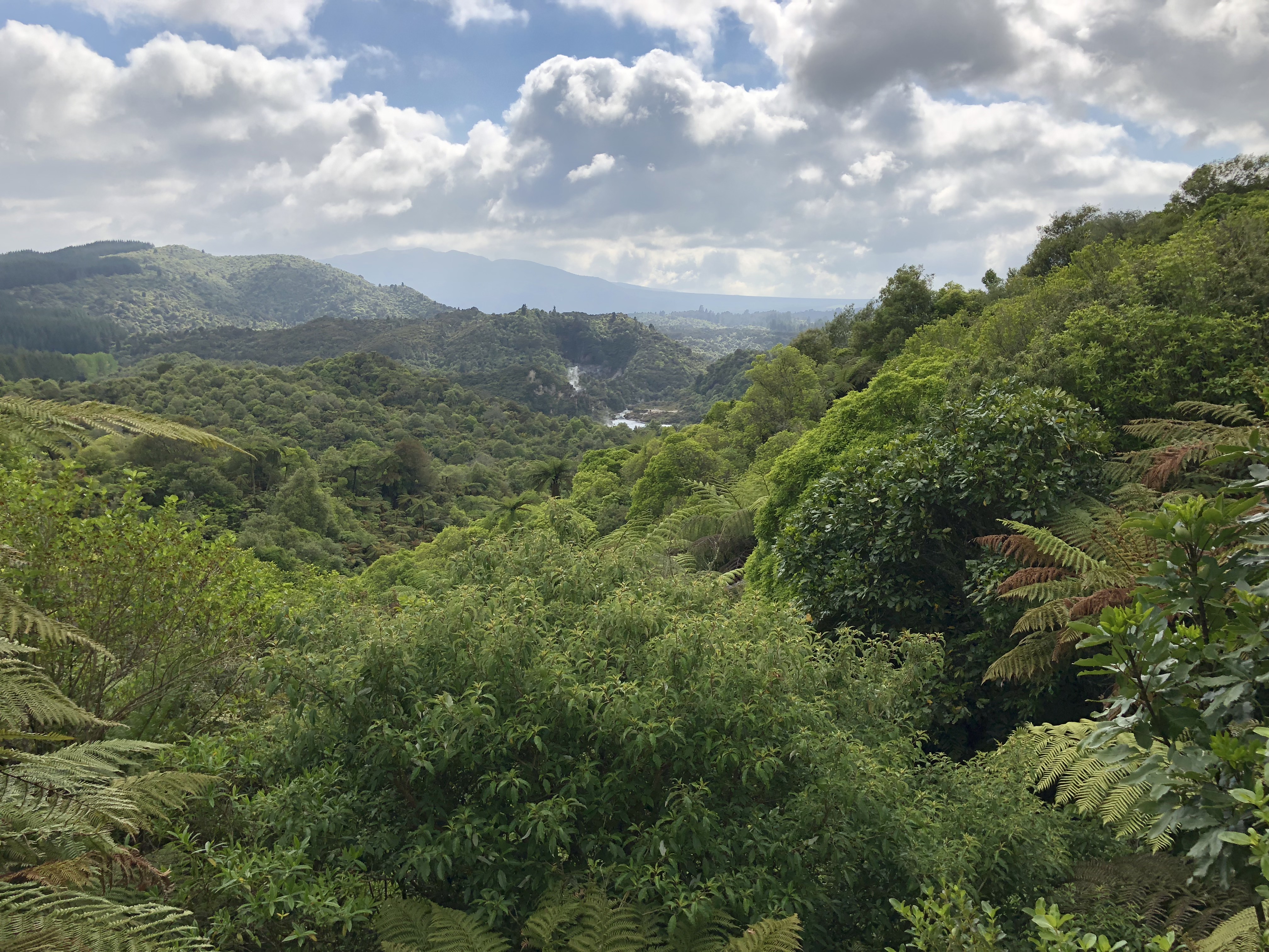
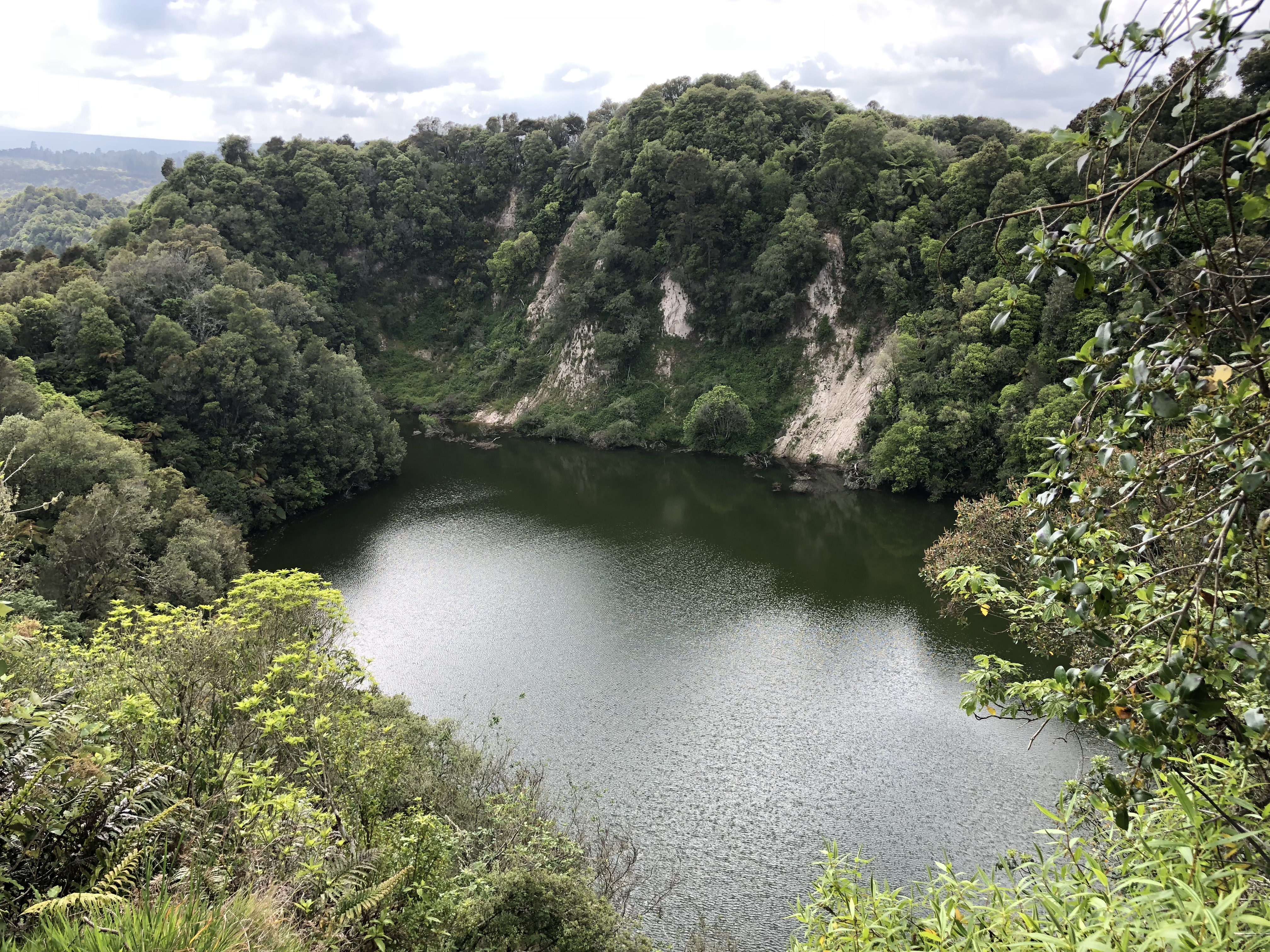
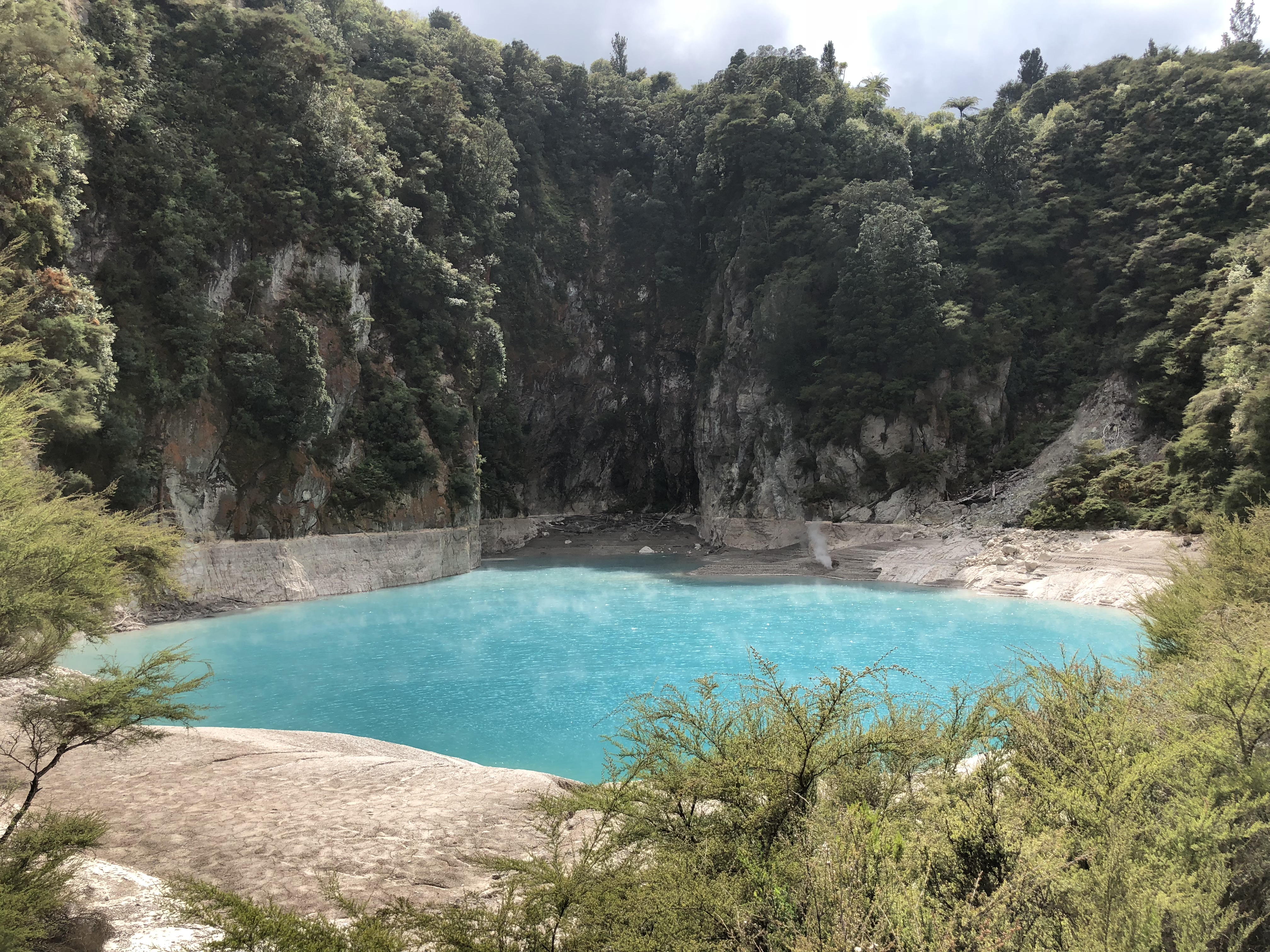
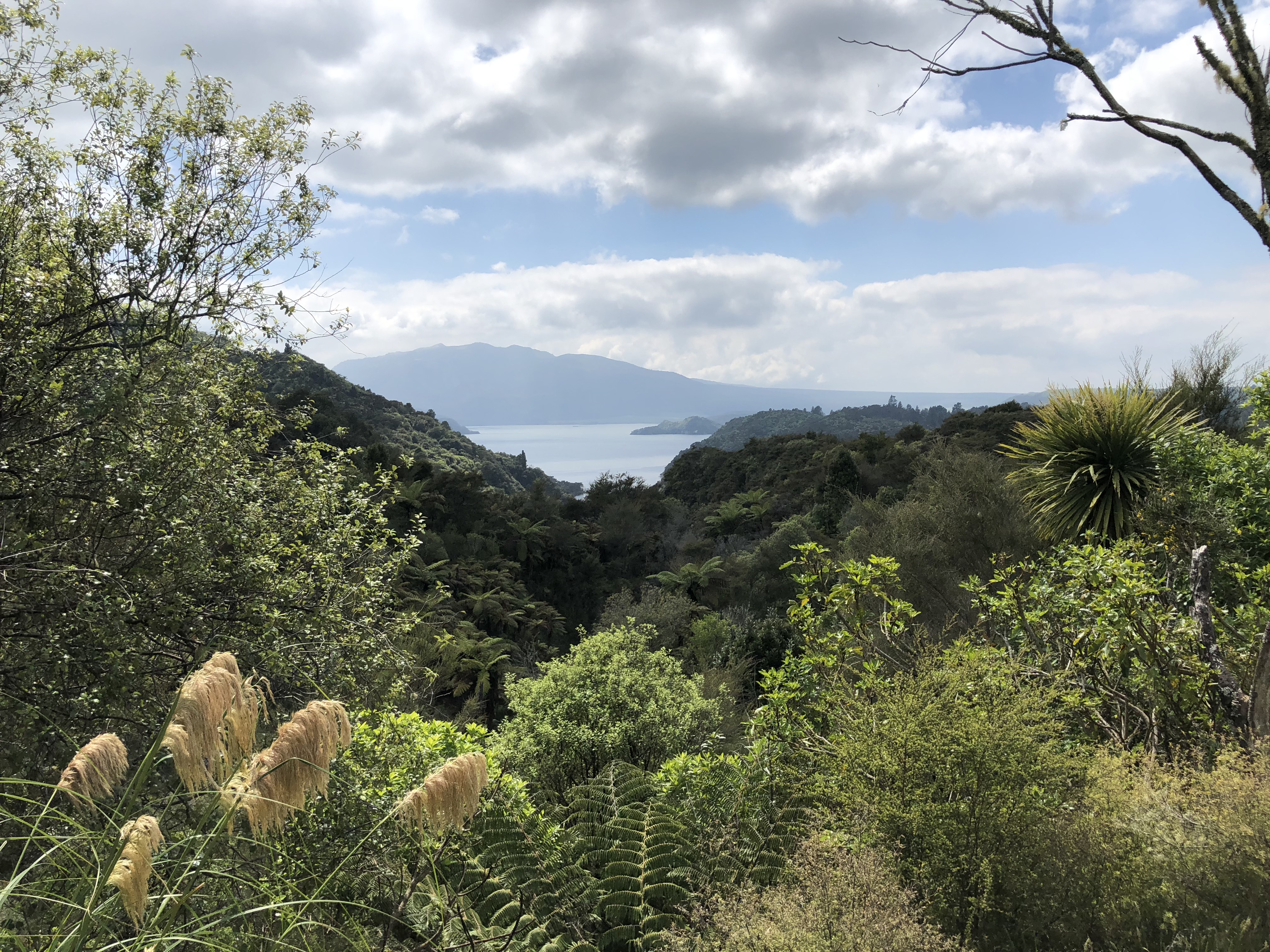
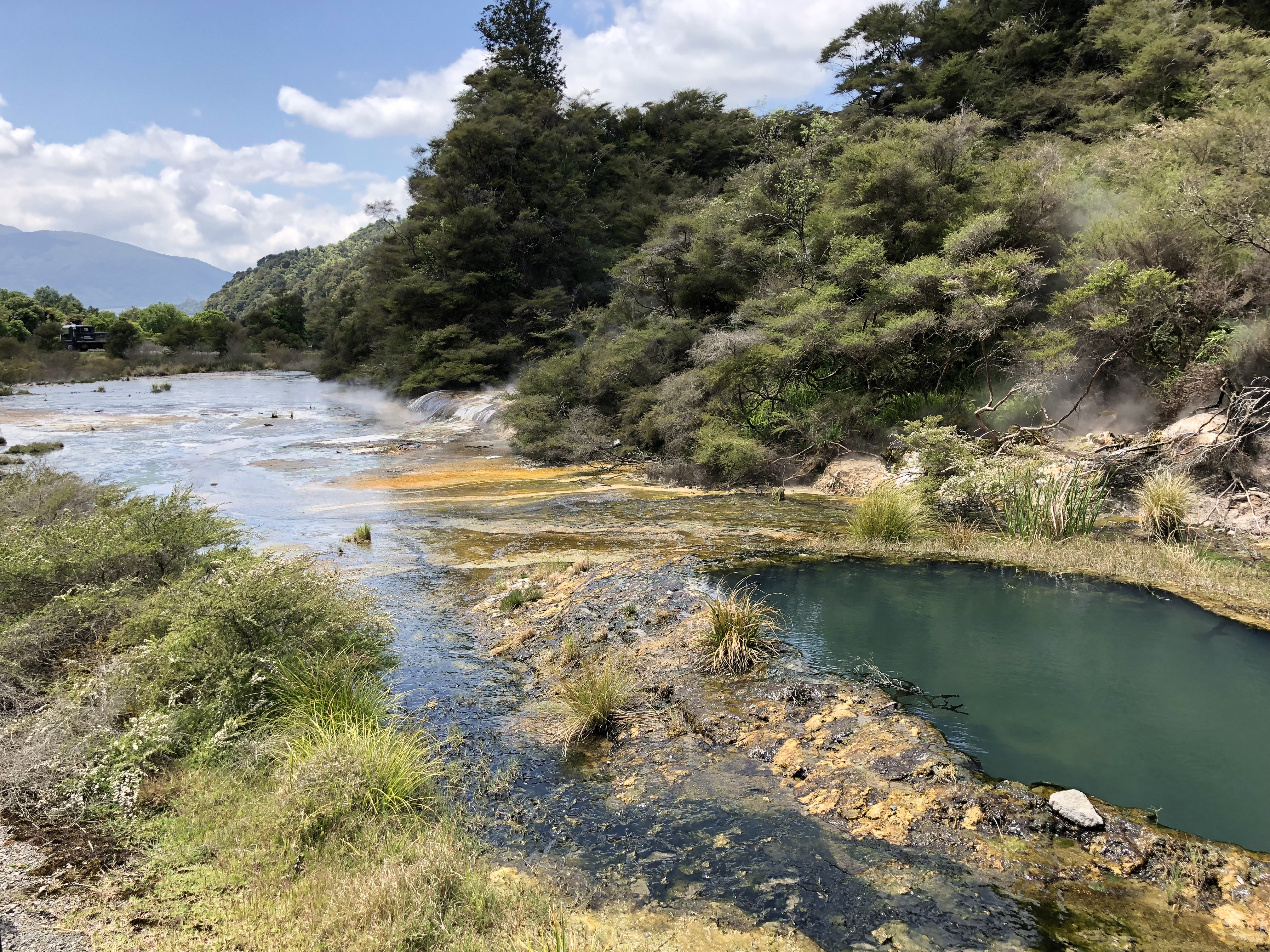
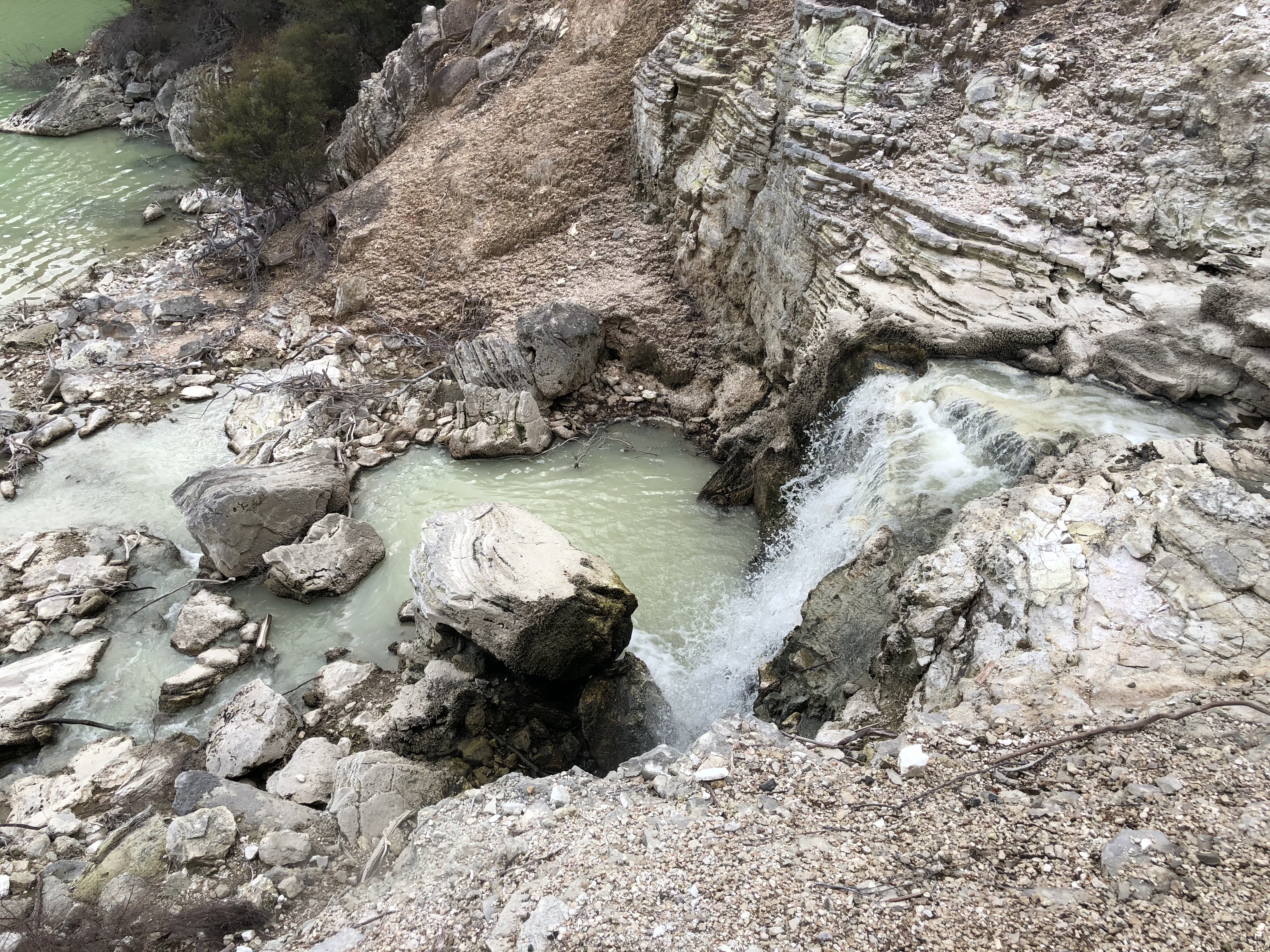
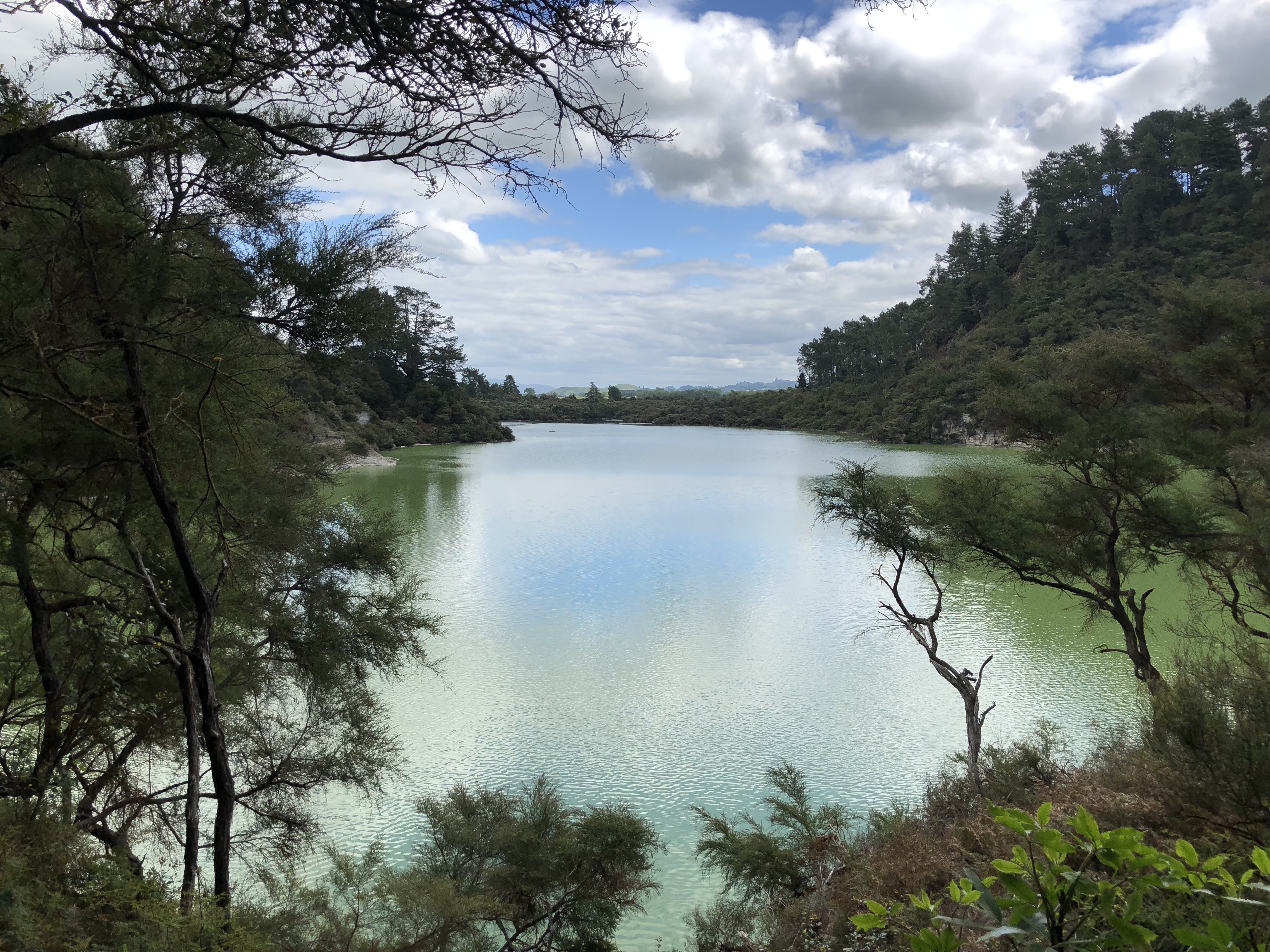
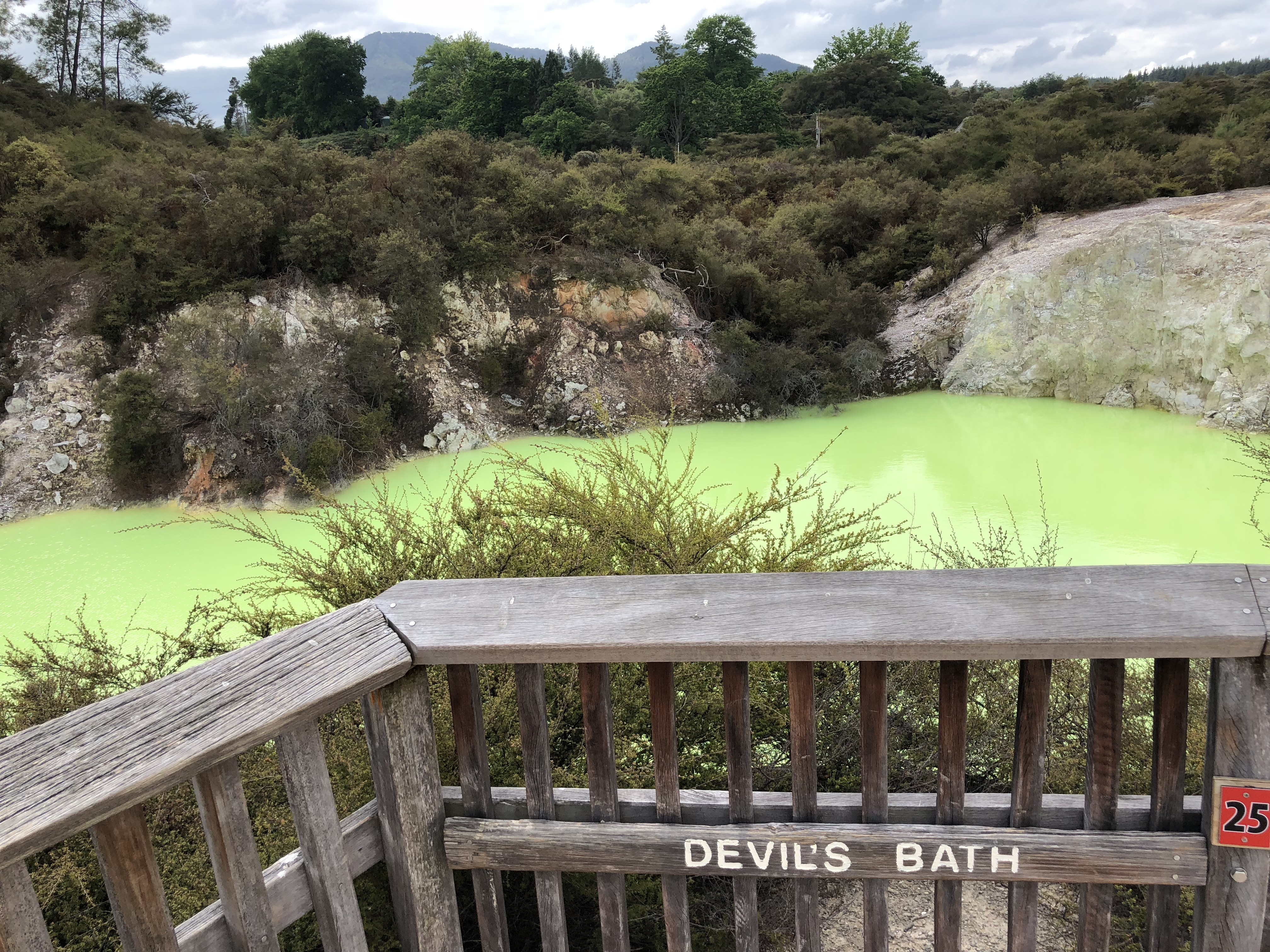
Surrounded by 11 crater lakes, Rotorua has some very unique geothermal landscapes. Among them is Waimangu Volcanic Valley, the world’s youngest geothermal system. Waimangu was not on our list of to sees and we only decided to go because we saw a brochure at the hotel lobby. It is a privately maintained reservation and charges for an entry fee to get to the trail. It is totally worth the NZD $40. The park provides a shuttle service for a couple sections of the tail. Make sure to check the shuttle schedule and time your pace accordingly. We missed a shuttle and had to wait for 30 minutes for the next one. There is also a Lake Rotomahana Boat Cruise at the end of the trail. As we still want to see Wai-O-Tapu in the afternoon, we will have to put that on the “next time” list.
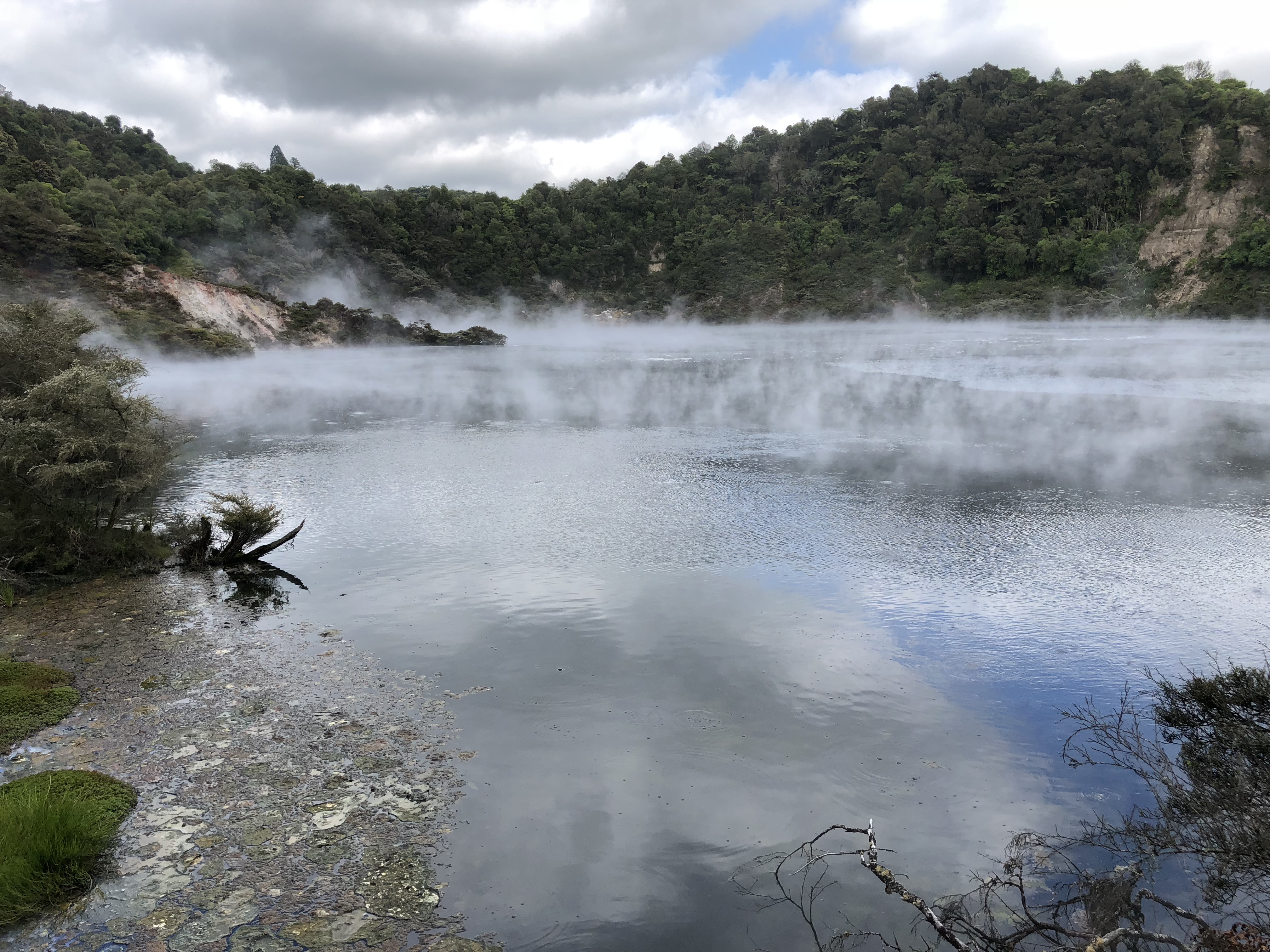
The entire valley is a series of seven volcanic craters with another fifteen craters submerged under Lake Rotomahana. Among them, Frying Pan Lake is the largest hot spring in the world, with average water temperature of 55°C. That may sounded comfy, still you probably don’t want to get into the water with acidity of pH 2.2!
Trail at Waimangu Volcanic Valley
- Entry fee: NZD $40
- Difficulty: easy and moderate
- Trail surface: mostly gravel, same paved
- Shuttle for a few sections of the trail
Wai-O-Tapu
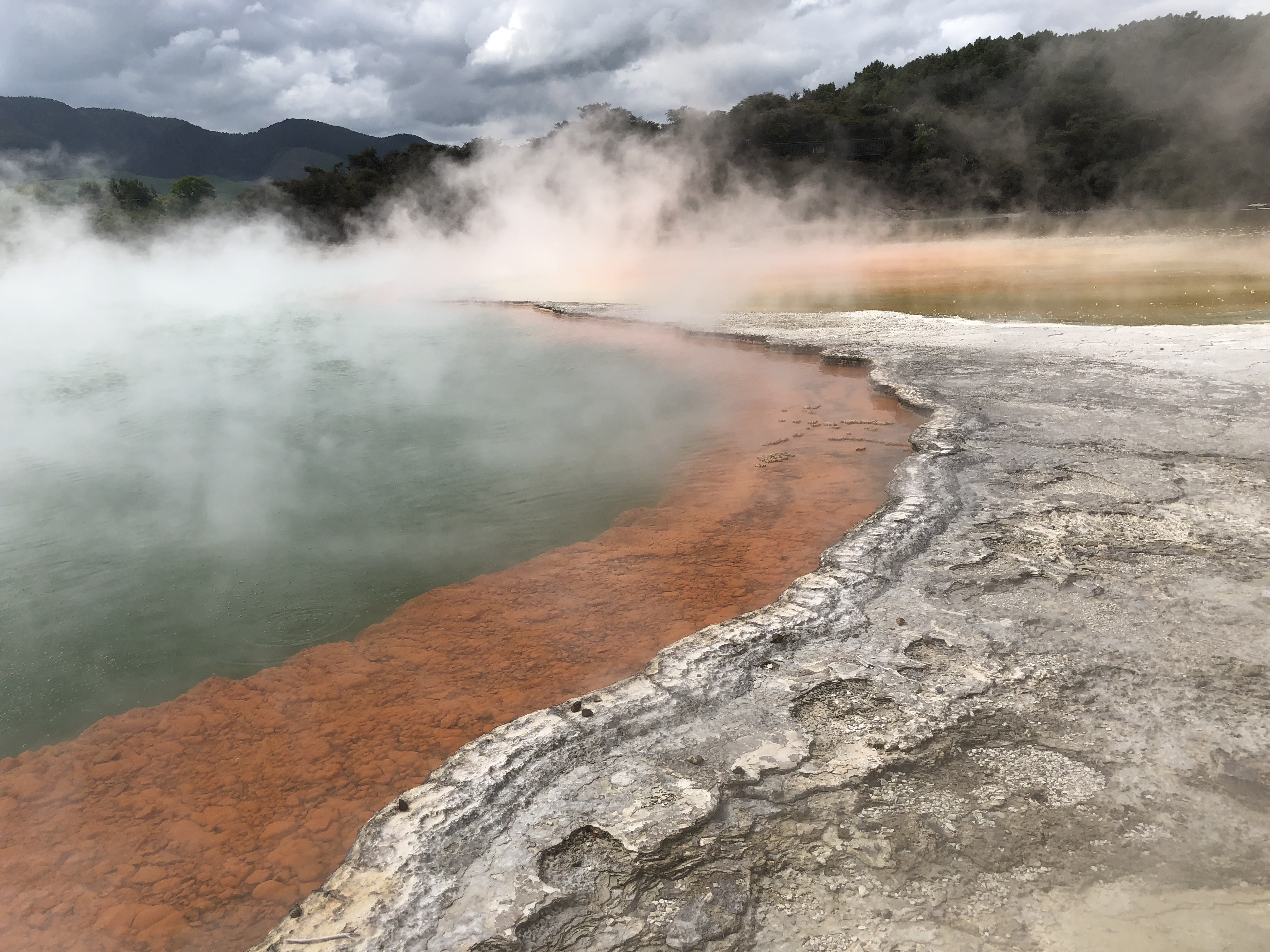
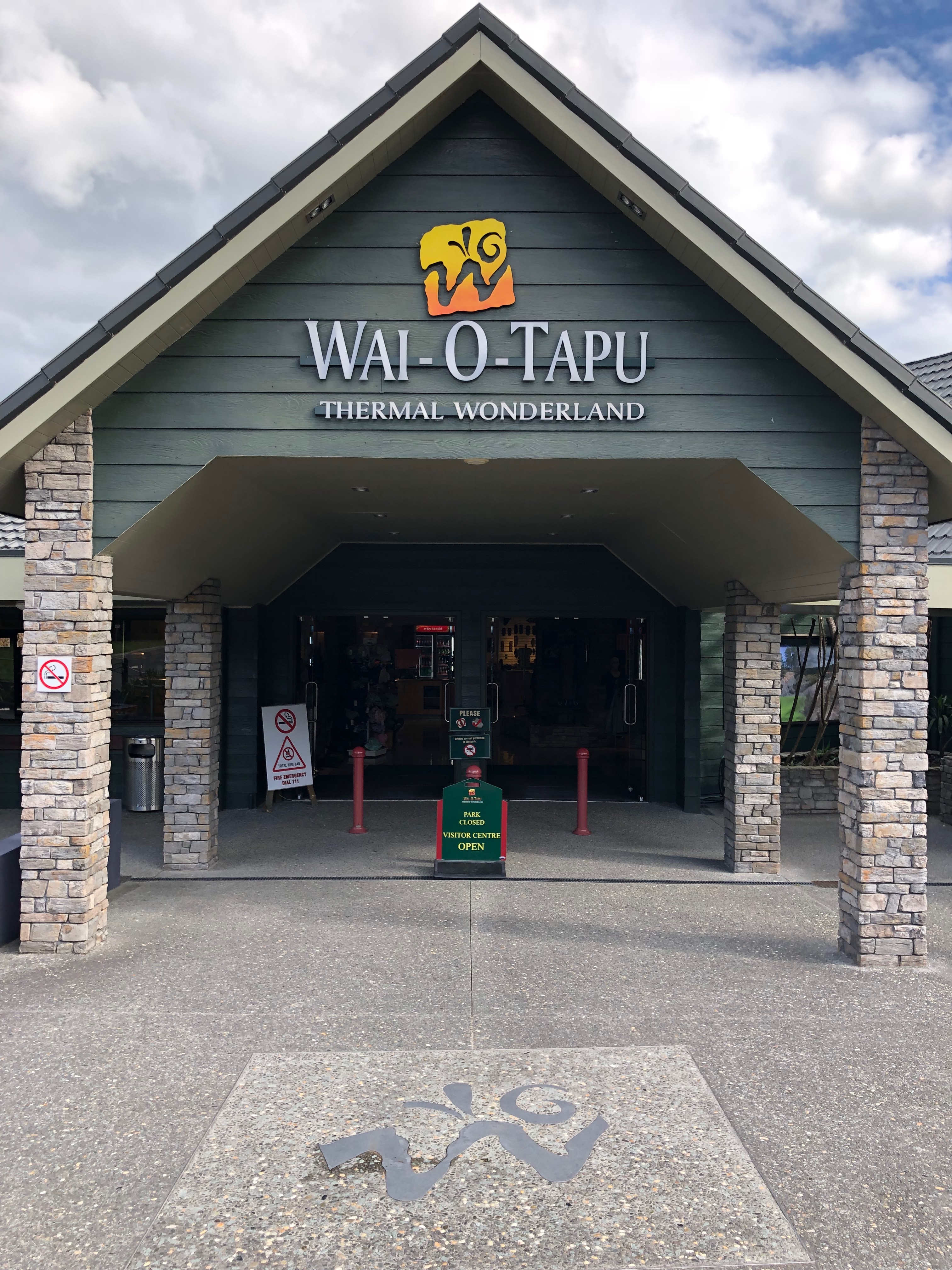
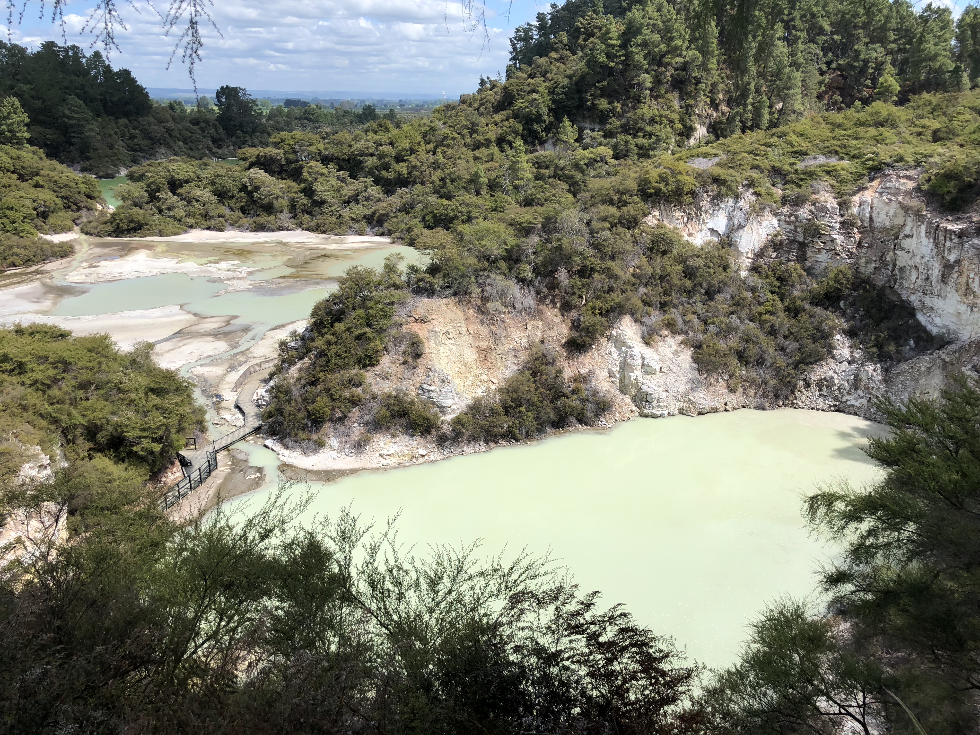
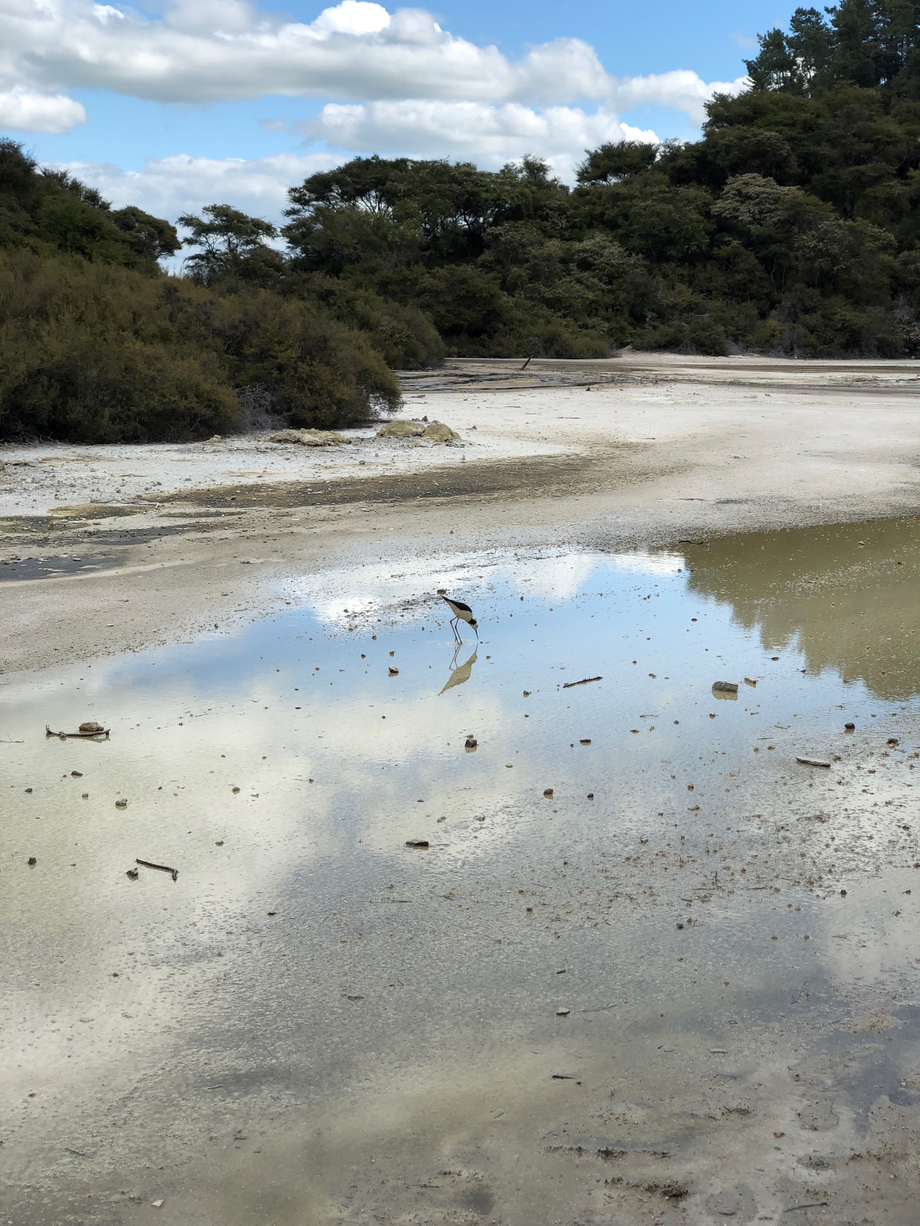
It is called the Thermal Wonderland for a good reason. Nature just pulled together all possibilities of geothermal pools into this convenient location. This area is a lot more accessible compare to Waimangu, hence a lot more tourist traffic. Nevertheless, it is well worth the trip.
Trail at Wai-O-Tapu
- Entry fee: NZD $45
- Difficulty: easy
- Trail surface: gravel, boardwalk

Taupo
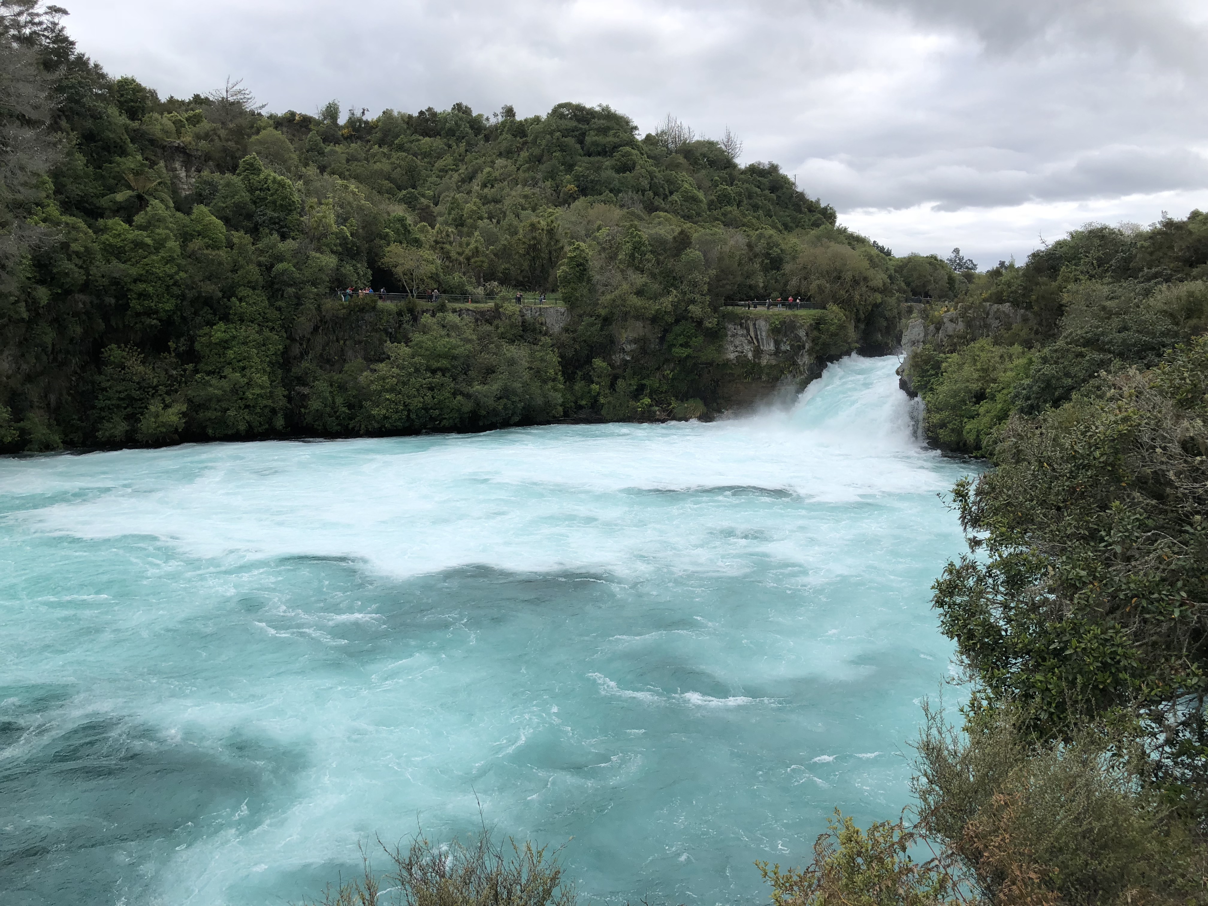
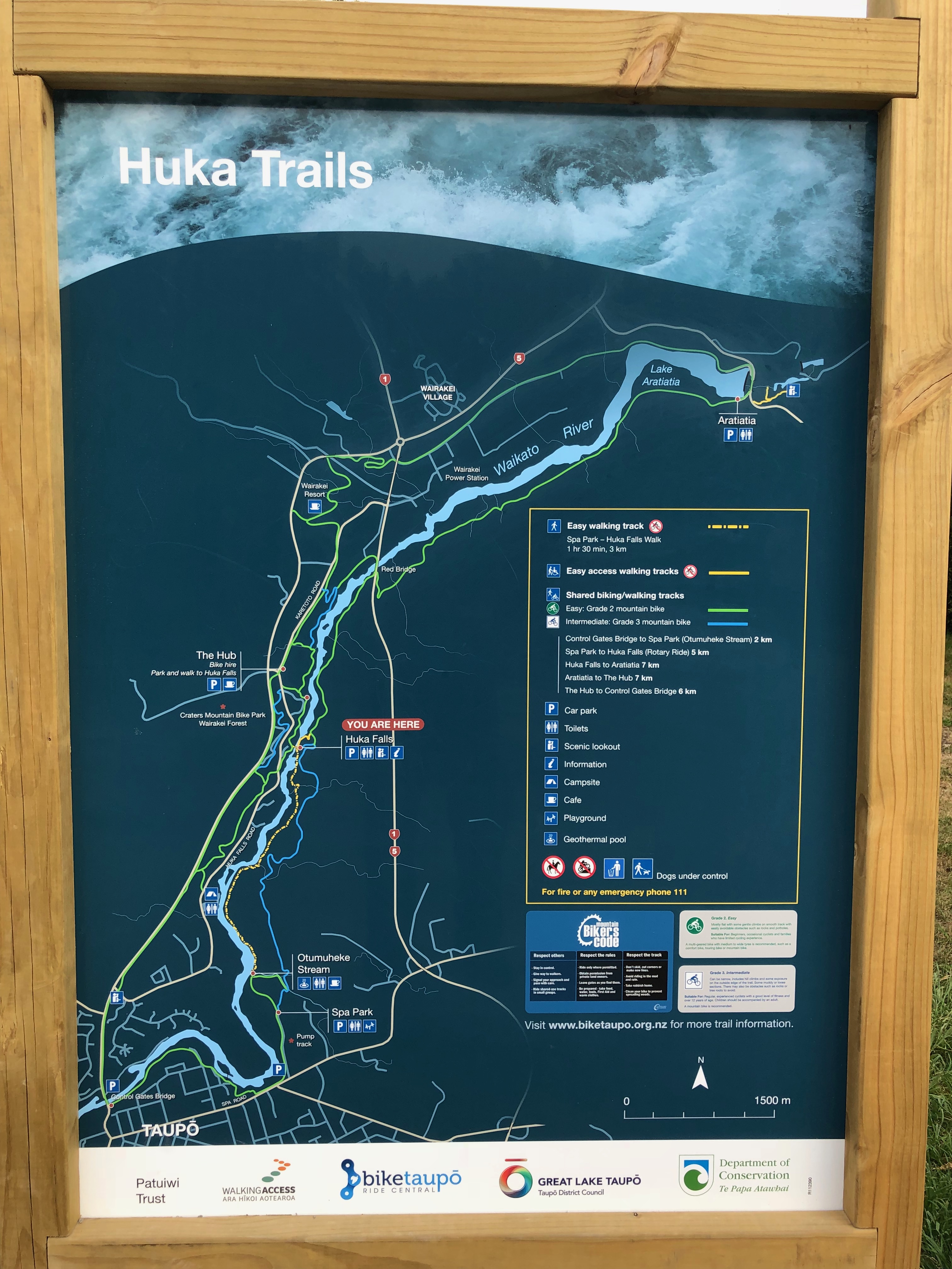
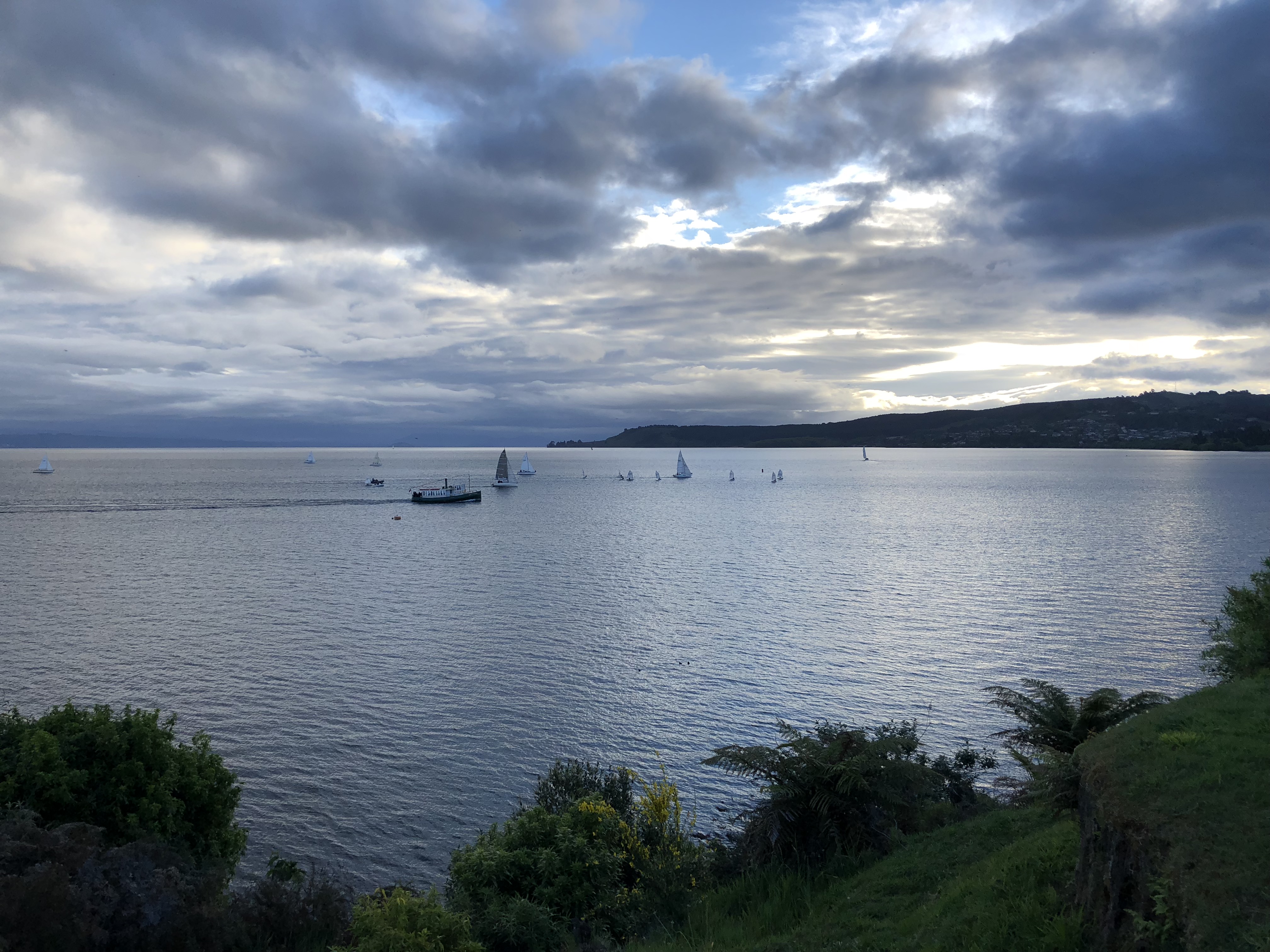
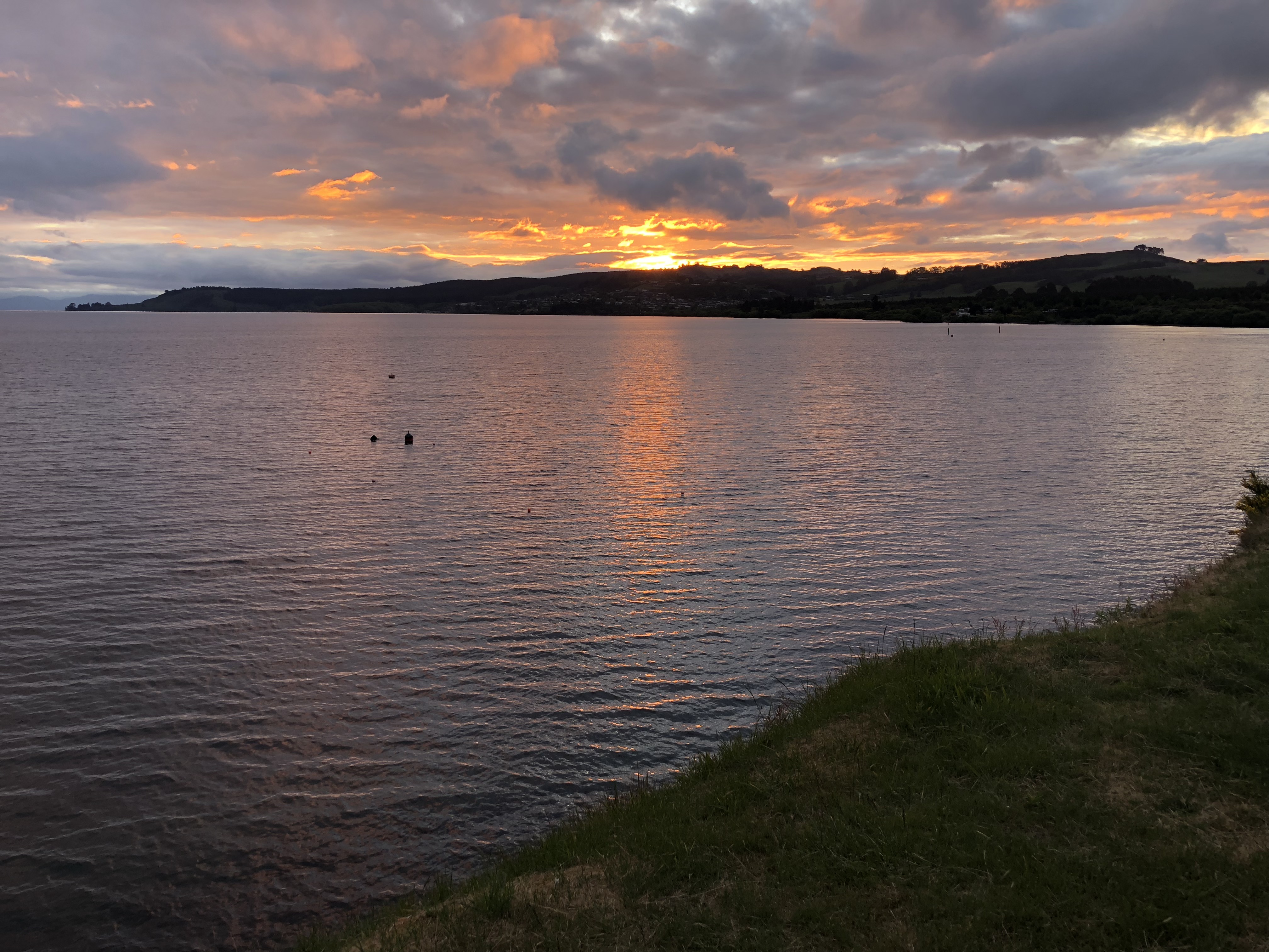
We left Wai-O-Tapu at about 17:00, there is no way we can reach Tongariro Alpine Crossing by night fall. Still it is too early to call it a day. We decided to head to Taupo for dinner before going back to Rotorua.
Useful links
The Land of Kiwis
Take me to the volcano!
Yeah! We are going to New Zealand, the land of Kiwis.
We met someone from New Zealand when we were in Guilin and she invited us to visit her in New Zealand. After we got back from China, we decided this is the best time to go to New Zealand. After all, it is spring down there!
Meta
- Travel light, take only carryon luggages if possible. This makes it easier to move and reduces time spend at the airport.
- Self driving tour. We will set a few major destinations, drive at our own pace and book lodgings as we go.
Things to do
There are lots of information online for things to do in New Zealand. Tripadvisor Things to Do in New Zealand is a good starting point. Two other sites with great, detailed local information are, the official New Zealand travel site and Department of Conservation site.
We created a My Map on Google Maps and plotted on it every locations we found interesting during our research.
Flights
We have a few must haves that affect our flight plan.
- We want to visit my sister in Melbourne
- We want to visit Rotorua on the North Island
- We want to visit our friend at Nelson on the South Island
- We want to spend most of our time on the South Island
Based on that, we have several options, like, visit Melbourne at the start of the trip or at the end, driving down to Wellington then take the ferry to South Island, fly from Auckland to Nelson, fly from Auckland to Christchurch, and on and on.
We used Google Flights to get a sense of the price and flight schedule for each segment of the various options. At the end we decided to book the following flights separately to maximize our time on the ground.
- Chicago – Melbourne round trip [Orbitz] – Air Canada
- Melbourne to Auckland [Expedia Australia] – Air New Zealand
- Auckland to Nelson [Expedia New Zealand] – Air New Zealand
- Christchurch to Melbourne [Expedia Australia] – Air New Zealand
Notes:
- Carry on limit for Air Canada is 10kg and only 7kg for Air New Zealand.
- Air Canada operates CRJ 900 between Chicago and Vancouver. The overhead compartment would not fit the standard carry on suitcase.
- Air New Zealand charges for inflight meal for regional flights and the meal needs to be booked when booking the ticket.
Rental cars
Instead of taking the ferry, we will rent two separate cars, one for North and one for South
- Two days of Hyundai i30 from Snap Rentals at Auckland
- Thirteen days of Mazda CX-5 from Hertz at Nelson
Tours
A few sites for professional guided tours and cruises
The more your know
Travel documents and customs
Make sure to check New Zealand visa requirements before booking the trip. U.S. passport holders do not need to apply for visa for staying up to three months.
The Australian visa requirements are different. U.S. passport holders must apply for an ETA before boarding the flight to Australia.
Both Melbourne and Auckland airport have SmartGare/e-gate for international arrival and departure. Getting through customs only take minutes. However, both are island countries and are extremely strict about biosecurity. Make sure to declare any controlled items on the arrival card or at the kiosk.
Connectivity
T-Mobile with international roaming works great in Australia and New Zealand. If you have an unlocked phone, you can also buy a tourist SIM card at the airports. In New Zealand, coverage is really good around cities. Areas in between oftentimes have no cellular signals at all.
Payment system
Most restaurants and grocery stores accept payWave which works with Apple Pay and Android Pay. Many stores at the airports also accept WeChat pay and Alipay. Chip-and-PIN credit card works in all places that accept credit card. Unfortunately, almost all American credit cards require a signature for the transaction. Those cards can only be used at staffed locations. Good old cash still works. Each bank charges different fee for using oversea ATM; some debit card does not even work overseas. Make sure to check that with the bank before heading out. The only time we had to use cash, at a public restroom at Te Anau.
- Apple Pay, Android Pay, WeChat pay, Alipay
- Credit card
- Cash
Driving
More than just driving on the left, driving in New Zealand is different. A few things to especially pay attention to,
- In most cases, direction of travels are separated by WHITE line, NOT yellow. Visit the Transport Agency web site to find out more details.
- In remote areas, there are not a lot of cars. You could be driving on the WRONG side of the road without realizing it, until another car shows up.
- If there is another car behind you, let it pass. If there is passing lane ahead, pull to the left lane at the passing lane. If there isn’t one, just slowdown and pull off to the left side when it is safe to let the car pass.
Be prepared to take more time than what Google Map shows. Make sure to check road closures before heading out, especially towards the west coast on South Island.
Gas stations
In New Zealand there are a lot of unattended gas stations. Those stations only accepts Chip-and-PIN credit cards. Credit cards that require signature, i.e. American credit cards, will NOT work. Debit card does not work at such station either. Luckily, attended gas stations are just as common. I fill up the tank everyday just to be safe. Especially, before heading to Milford Sound from Te Anau. The round trip is about 250 km and there is no gas station anywhere in between.
Weather
The weather is on the wet side, especially on the west coast. Milford Sound rains about 200 days in a year. A great weather forecast for the New Zealand area is metvuw.com. It is recommended by sky divers, must be good!
Useful links
- Visa for New Zealand
- Australian short-term visas
- Driving in New Zealand
- Road closures
- New Zealand Weather Forecast
- Things to Do in New Zealand
- The official New Zealand travel site
- Department of Conservation
- Google Flights
- My Maps
- Snap Rentals
- Hertz New Zealand
- New Zealand Walks
- Viator
- Southern Discoveries
- Real Journeys
- Wai-O-Tapu
- Hobbiton™ Movie Set Tours
- Tongariro Alpine Crossing
- Rotorua
- Waimangu Volcanic Valley
- Taupo