With three national parks, visitor can enjoy everything from golden beaches to high mountain peaks in Nelson/Tasman.
Nelson
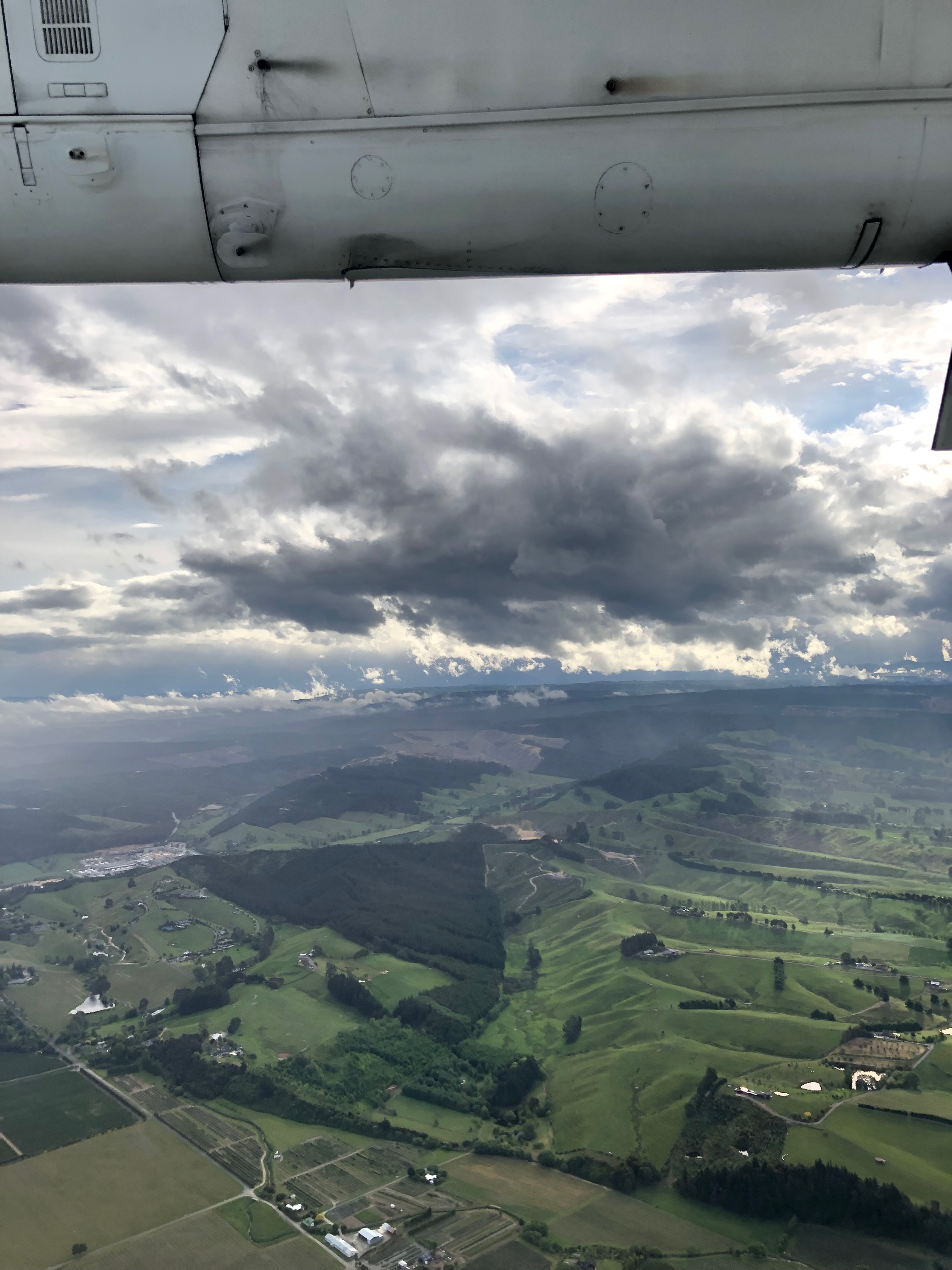
Instead of taking the ferry from the North Island to the South Island, we took a short flight from Auckland to Nelson. Auckland airport has a cozy domestic terminal. No gate areas, once boarding was called, just walked right on to the tarmac to get on the plane.
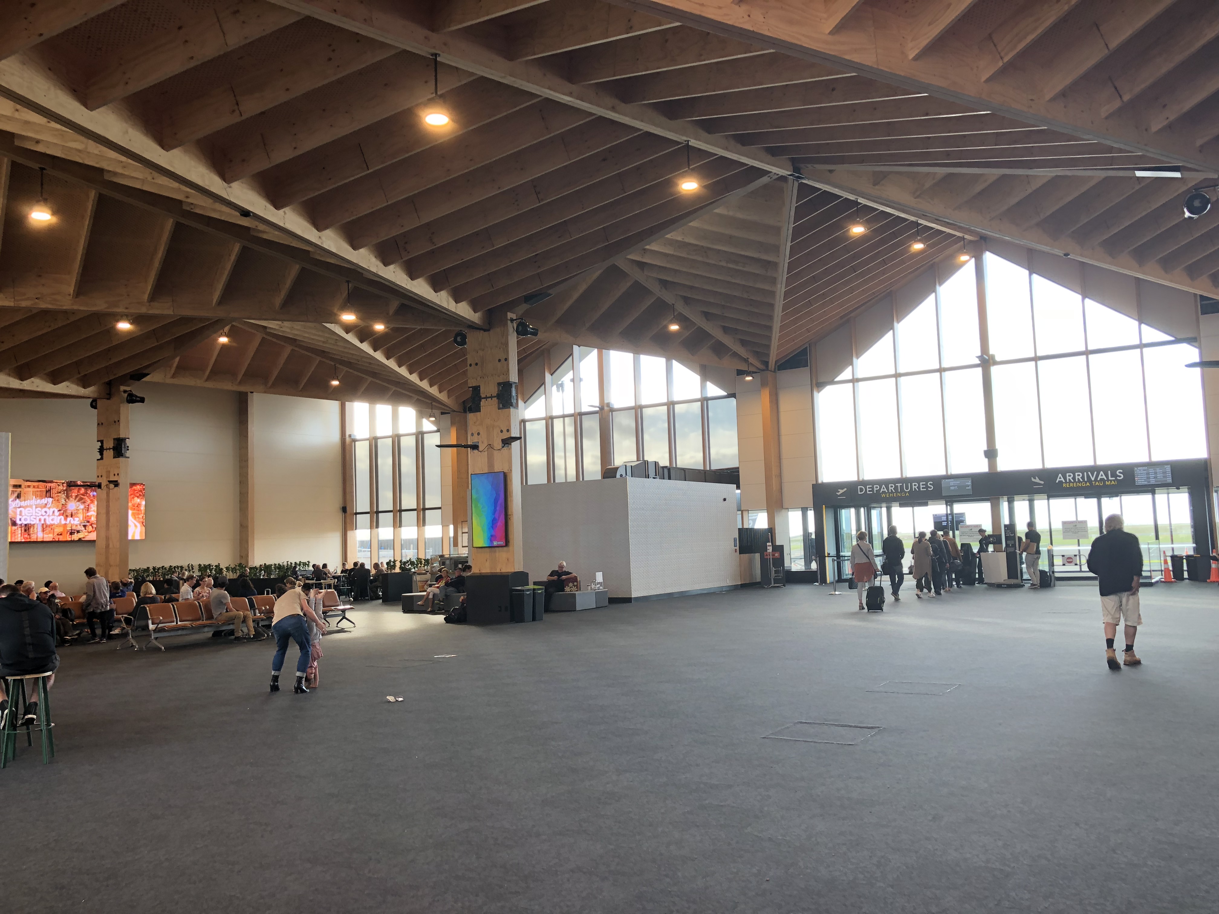
As we approached Nelson, we were treated to a beautiful view of the coast line of Tasman Bay. Nelson airport has a brand new terminal with vaulted, wood paneled, arch ceiling, representing the nature beauty of the mountain range in the region.
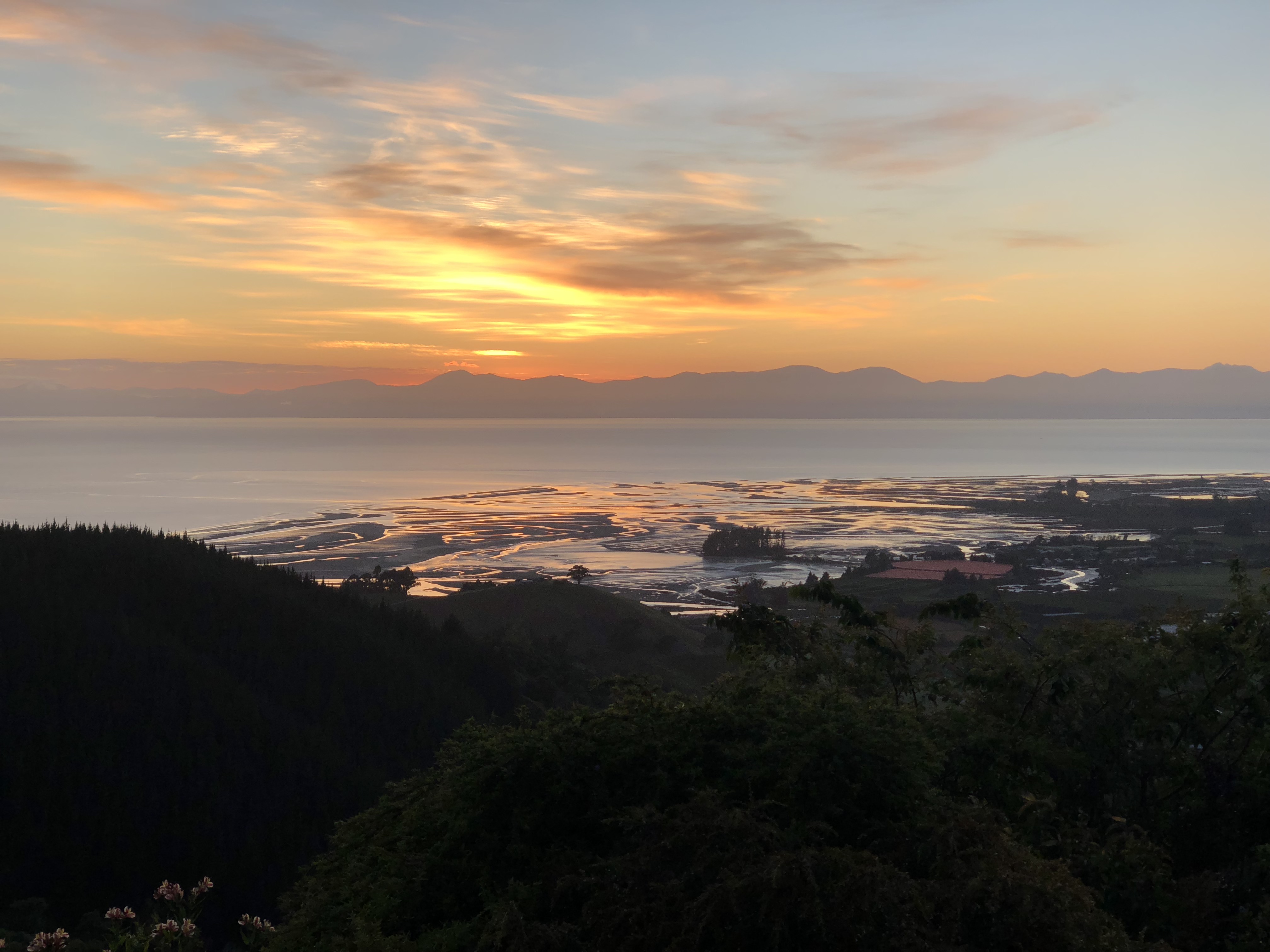
We picked up our rental car, a Mazda CX-5, from Hertz and head over to our friends’ place at Takaka Hill. The house was built on a hill top, overlooking Tasman Bay, and surrounded by Abel Tasman National Park and Kahurangi National Park. This is our home for the next three days.
Tasman
Cape Farewell
Cape Farewell is the northernmost point of South Island. It took us about an hour to get to Golden Bay Visitor Center at Takaka, then another hour from Takaka to Cape Farewell. The attendant at the visitor center was very helpful, otherwise we would not have found the trail head. Once we reached the end of paved road at Puponga, it’s another 10-minute drive on the unpaved gravel road before reaching the track.
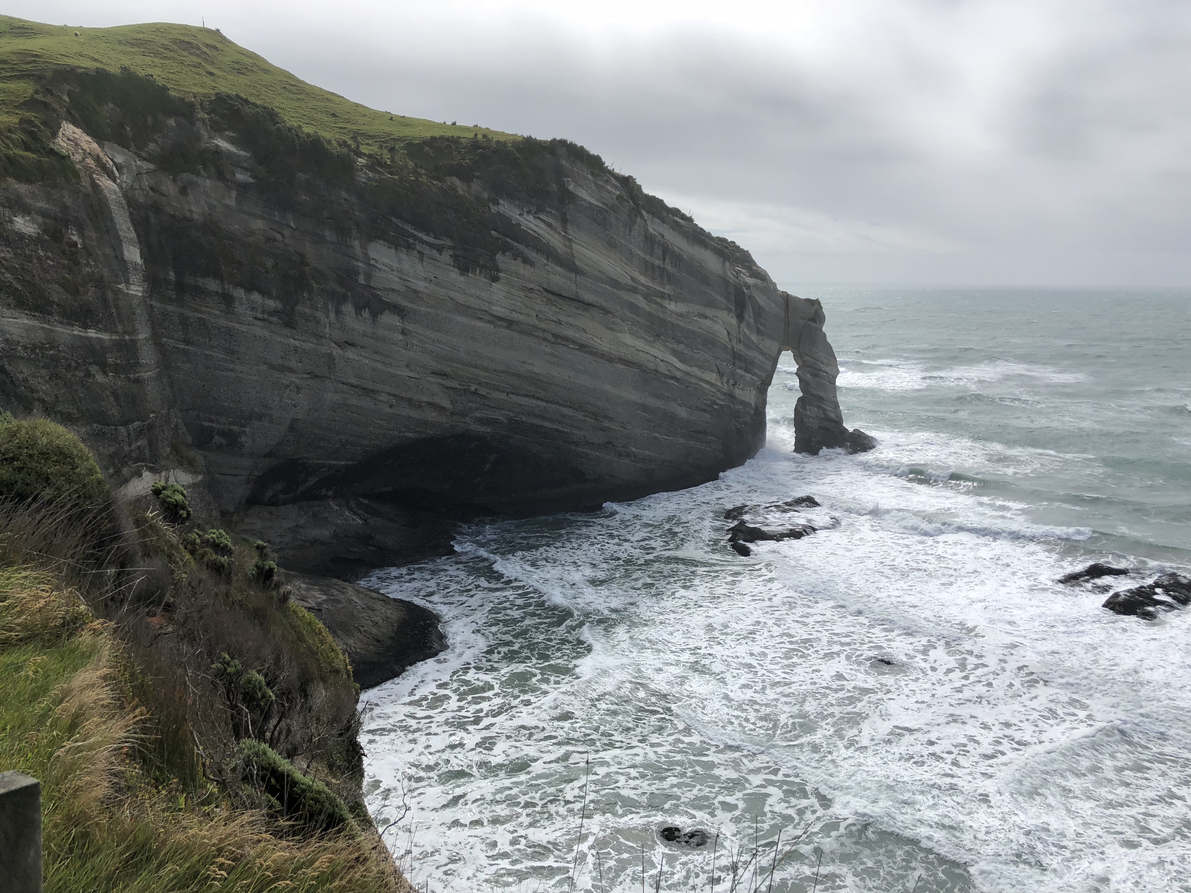
It’s a breath taking view at Cape Farewell. It was so windy that day, it felt that I would get blown out to the Tasman Sea. Instead of hiking 90 minutes down to Wharariki Beach, we decided to drive to the other end of the track then take a short hike to the beach.
Wharariki Beach
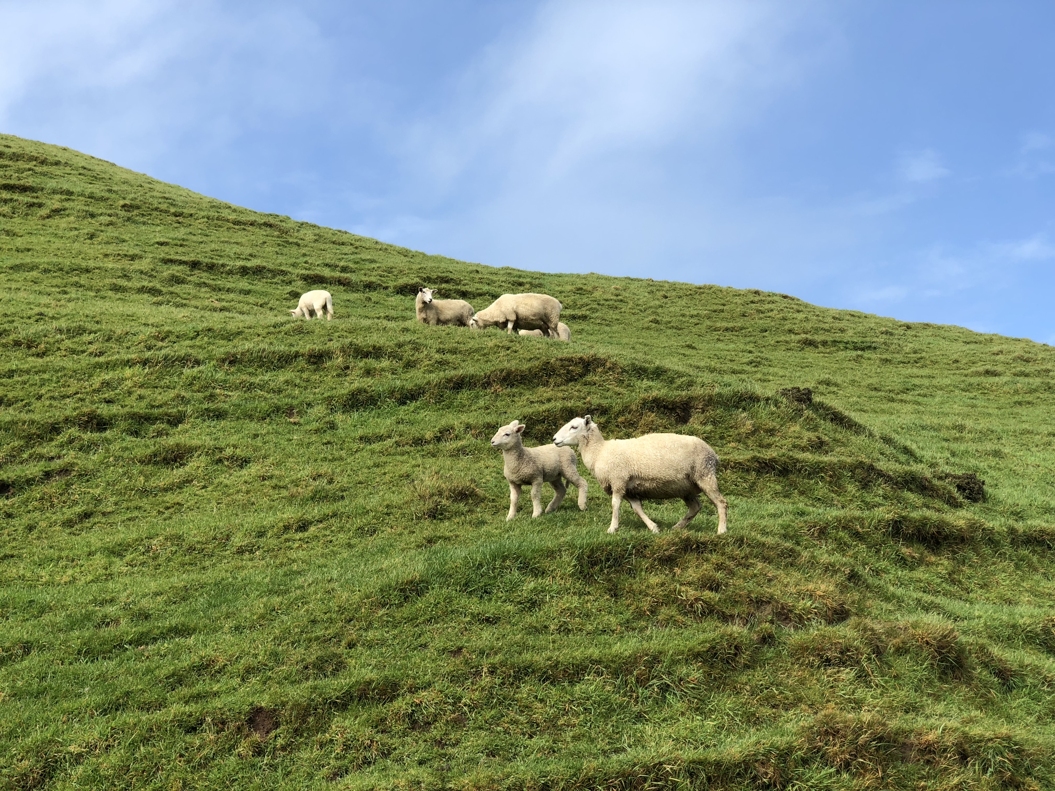
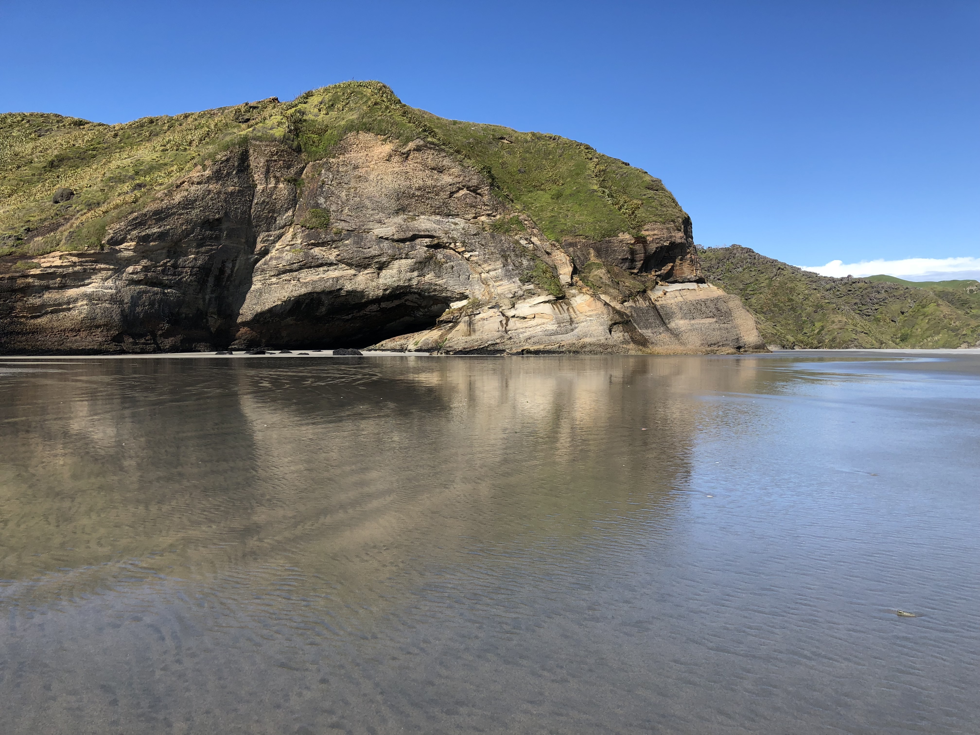
We got to the beach at a low tide. The beach stretch way out into the Tasman Sea. The wind was so strong, we felt like we were getting sandblasted. From shape of the sand dunes and the vegetation, looks this was a typical day in life for this area.
When we were down there, a family walked up to us asking for direction back to the car park. I turned back and ready to point at where we came from and was stunt to find that all my tracks were erased by the wind; and I was not able to distinguish one sand dune from another. Luckily, at edge of the sand dune where we came down, someone had built a couple of teepees from the drift wood. Perhaps that’s why they built those markers. Phew!
On the way back, we stopped at The Dangerous Kitchen at Takaka for dinner. The setting was nice. The mural at the covered outdoor seating area was fun to read. The pizza was good, but the pesto sauce was not so much. Instead of basil the pesto was made with parsley. The flavor and texture were all wrong for pesto. So, if you come to this dangerous place 😉 be cautious with the pesto. The other good restaurant in the area, recommended by our friend at Nelson, is The Mussel Inn. That will be on the “next time” list.
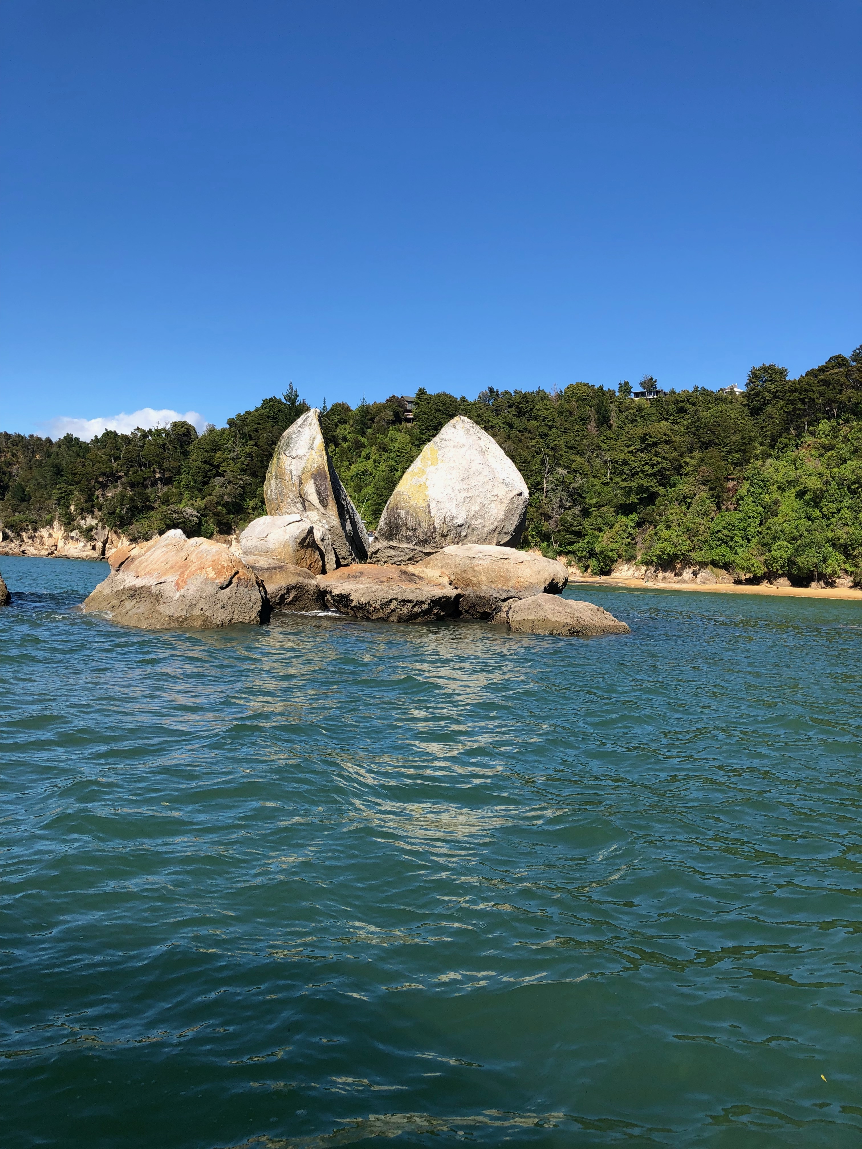
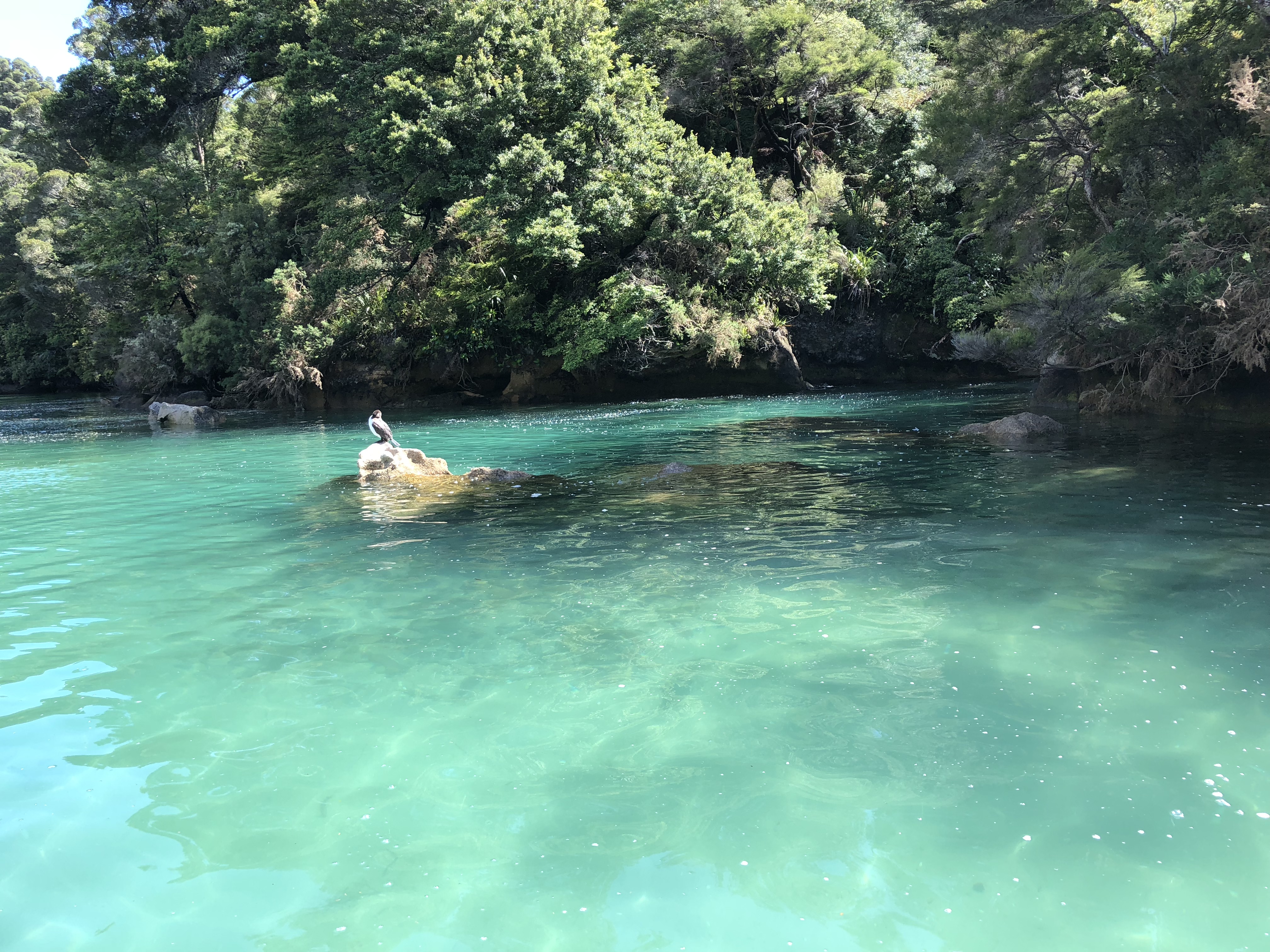
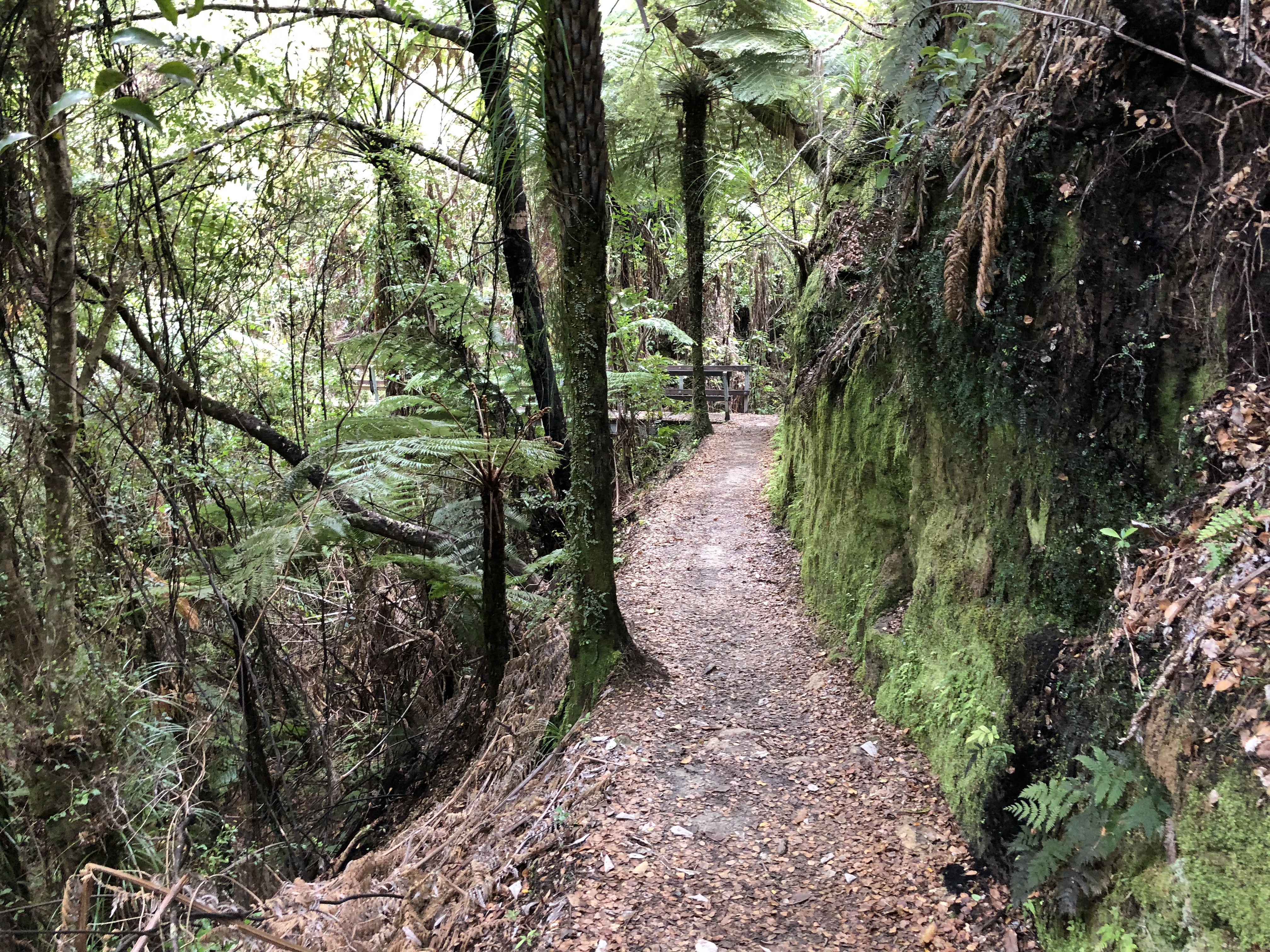
Abel Tasman Coast Track
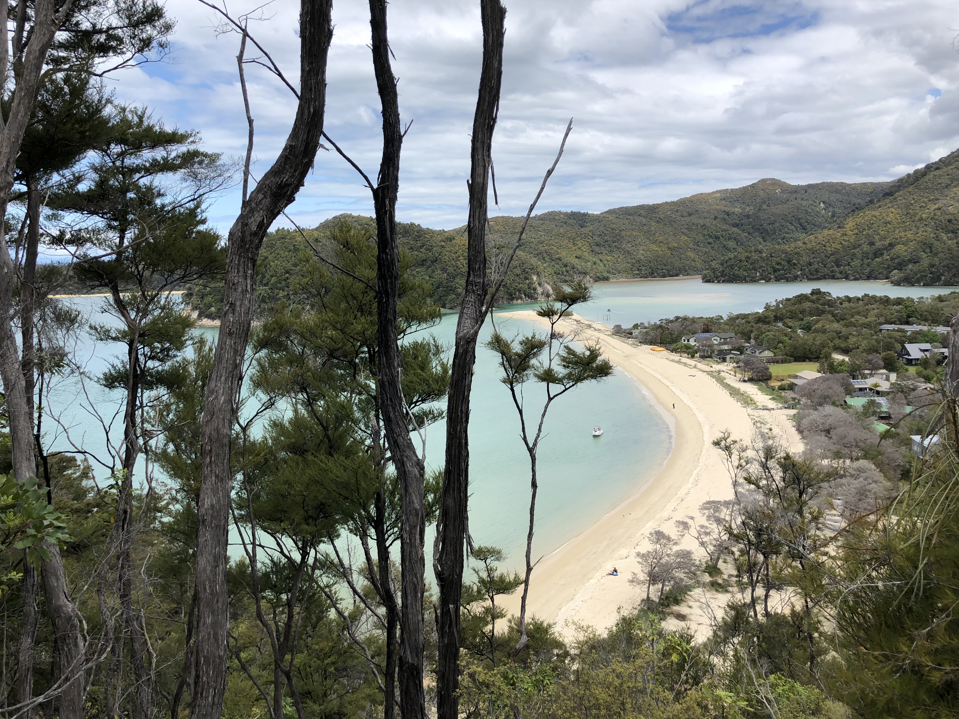
Abel Tasman National Park is New Zealand’s smallest national park. Most of its beauties and wonders are along the coastline. We decided to take a water taxi and walking trip for the day. We would start with a water taxi ride at 9, cruise the length of the incredible Abel Tasman coastline right up to Totaranui and back to Bark Bay (2.5hrs). Then we would hike the most scenic section of the Abel Tasman Coast Track from Bark Bay to Anchorage (3.5hrs) before returning on an afternoon water taxi.
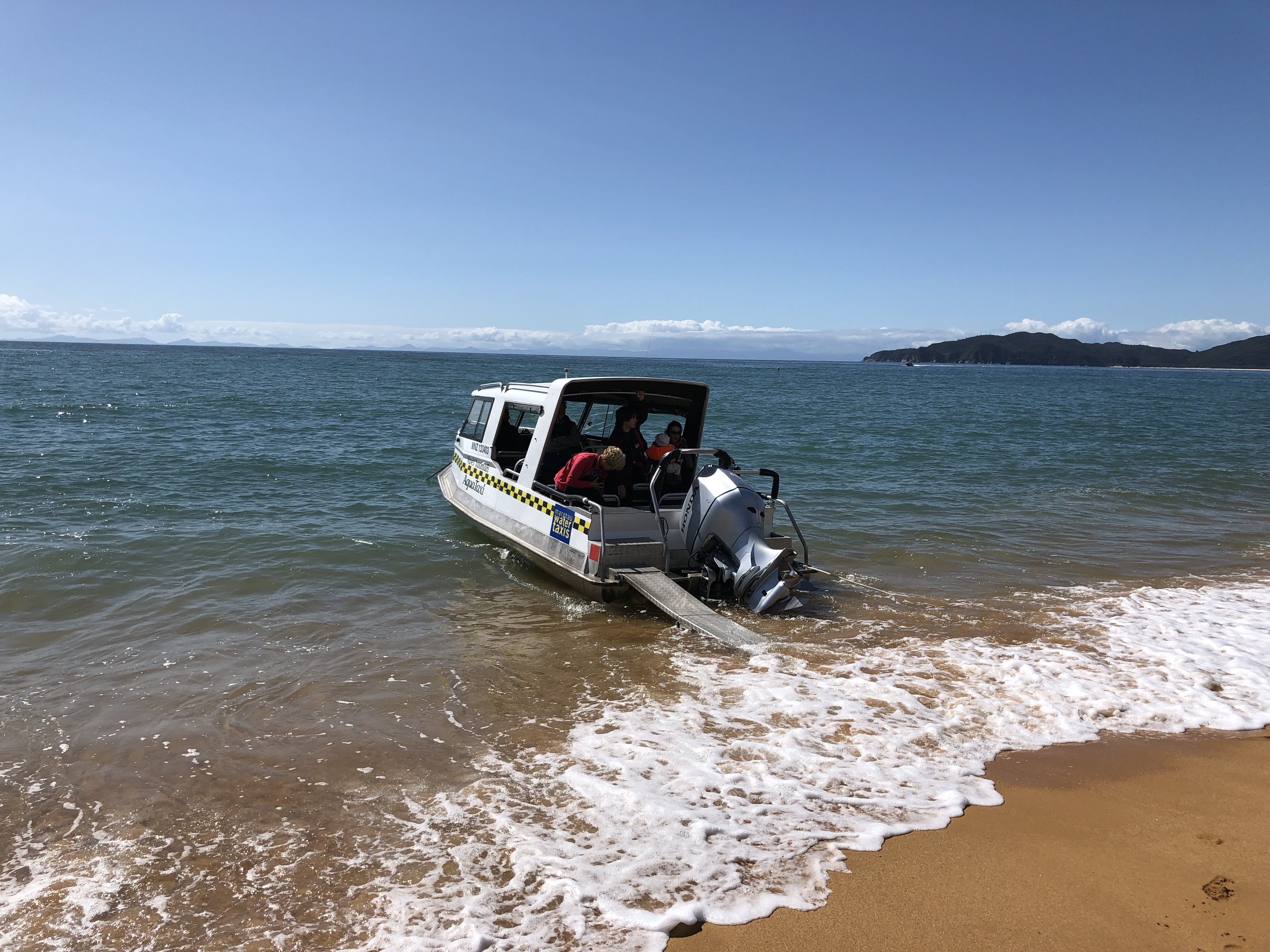
When we arrived at the water taxi company in the morning, a big crowd of people had already gathered at the parking lot. Several water taxis, i.e. speed boats, were already there, each mounted on a trailer hooked up to a tractor. The coordinator called our names and tell us which boat to climb on to. Yep, we climbed up to the boat that was on the trailer. Once we all got onboard, the tractor pulled us down the boat launch, down into the shallow harbor, pull us about 100m offshore where the water is deep enough to float the boat off the trailer. What a fun experience before we even started on our tour of the coastline.
Along the way, we also learn that most of the pine trees we saw on the coastline are invasive species, brought in by the early settlers. Also, the sand have such high content of iron, they appear in a hue of rusty color. I was able to pick up large sand grains with the magnet on my backpack.
When we reached Bark Bay, the captain just backed up the boat as close to the beach as possible then dropped the ramp, kind of, on the beach. If timing the wave just right, I could walk on to the beach without getting wet. Instead, I just took off the shoes and wade through the cool, pristine water
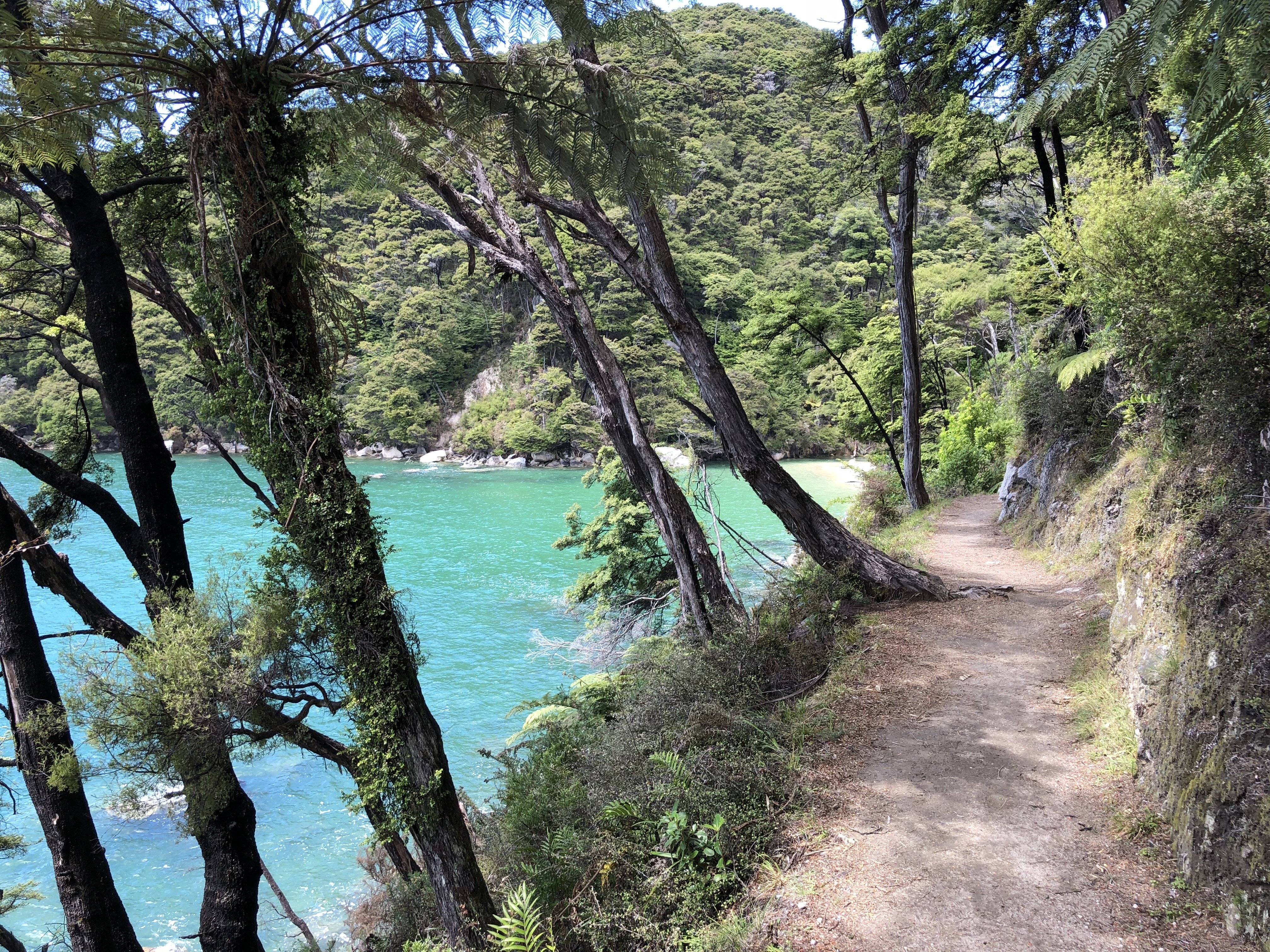
The track surface was mostly packed dirt road, and the weather was so mild that made it an easy hike. We would have taken all the time to enjoy the scenery, except that we had to reach Anchorage by 4 pm to catch the returning water taxi. When we reach Torrent Bay, the tide was still high enough that we cannot cross the estuary to reach Anchorage. We had to walk around the estuary, which added about 4km to the hike. While it would have been fun to cross the estuary at low tide, the longer route was totally worth it. Next time we will check the tide tables and take the shortcut.